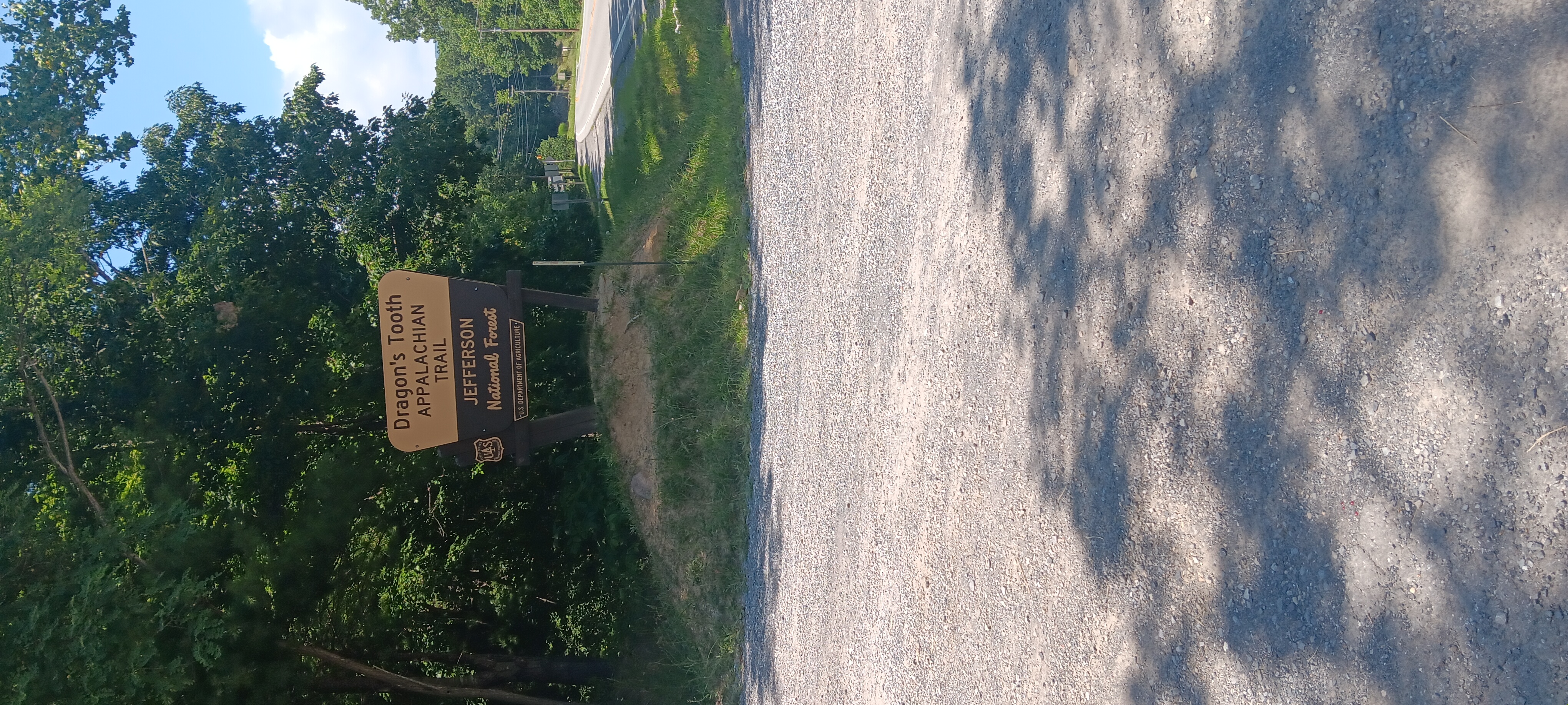
Trail Log 10: Trout Creek to Sarver Hollow Shelter

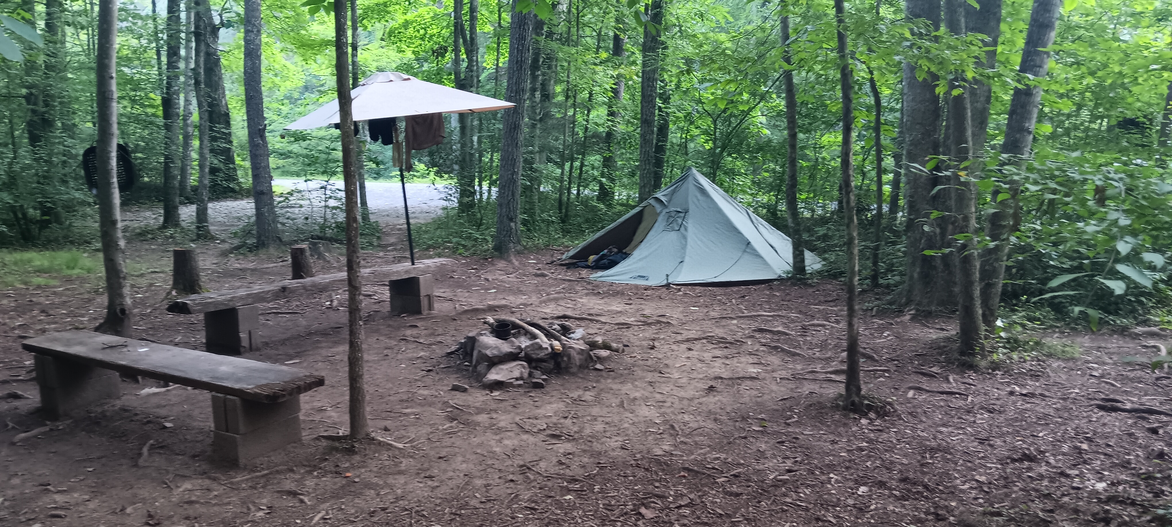
I slept medium last night. It was hot and didn’t cool off enough to sleep until late in the night, and woke up slowly about 7ish. In the morning I found my friend Wolfblitzer protecting me in the night.

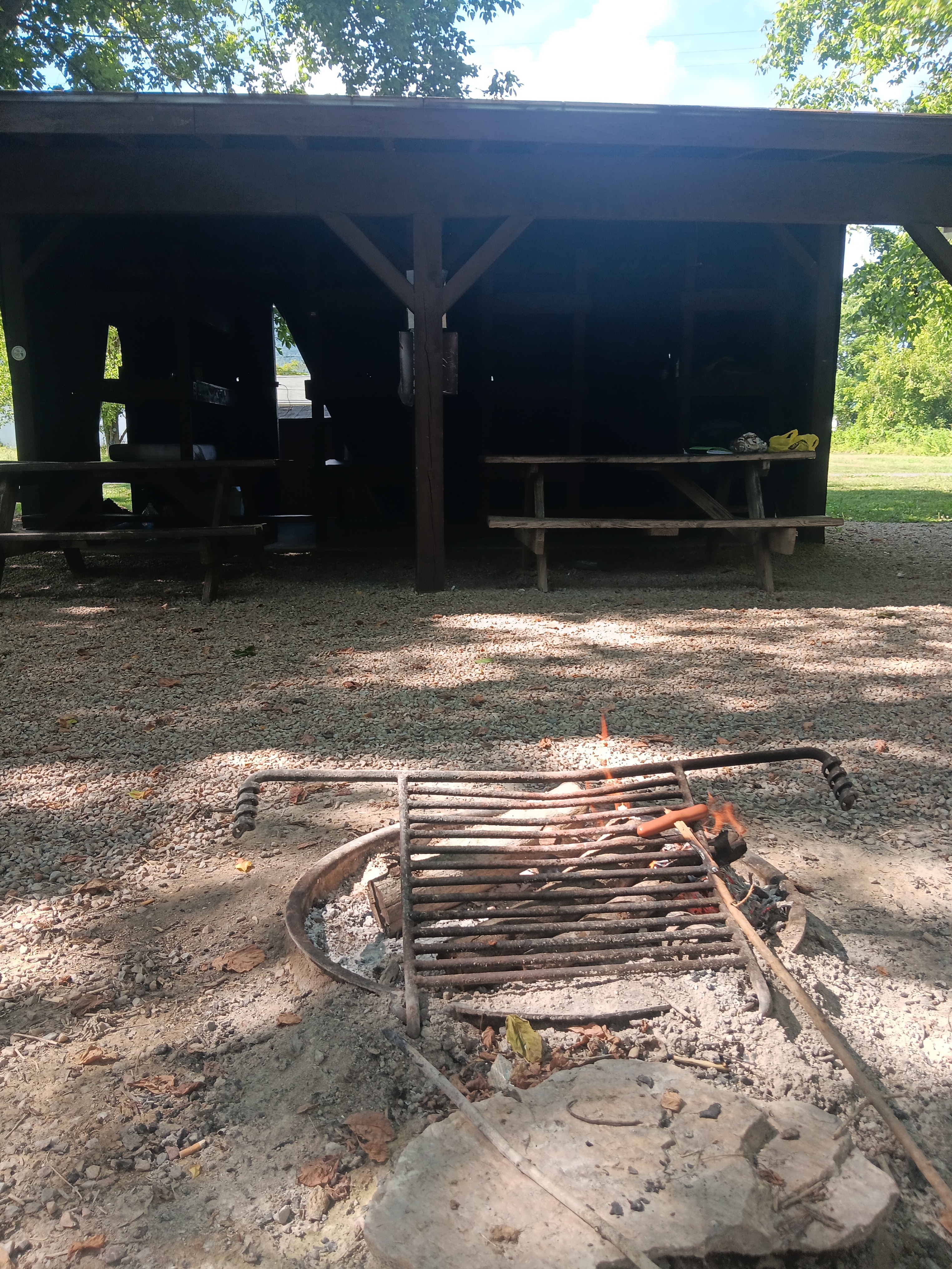
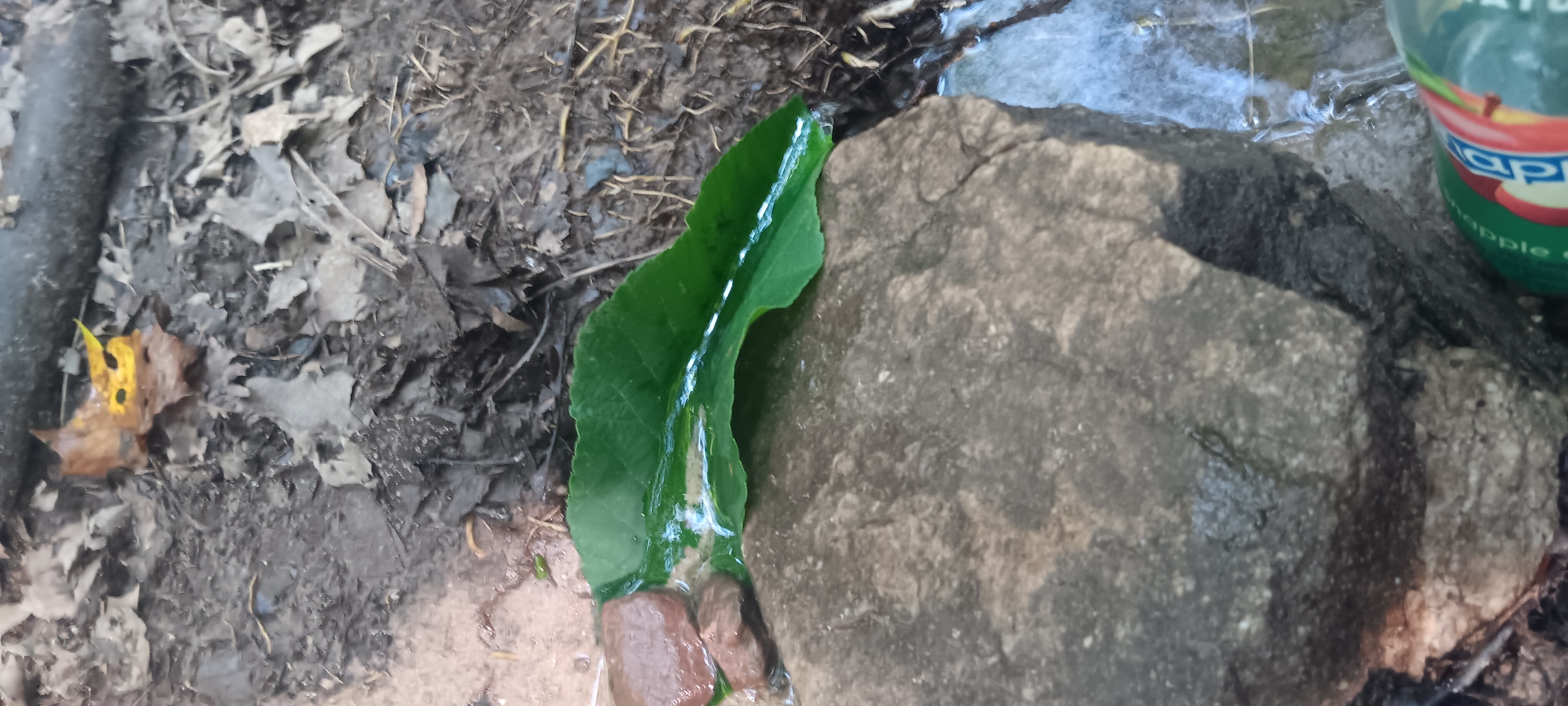
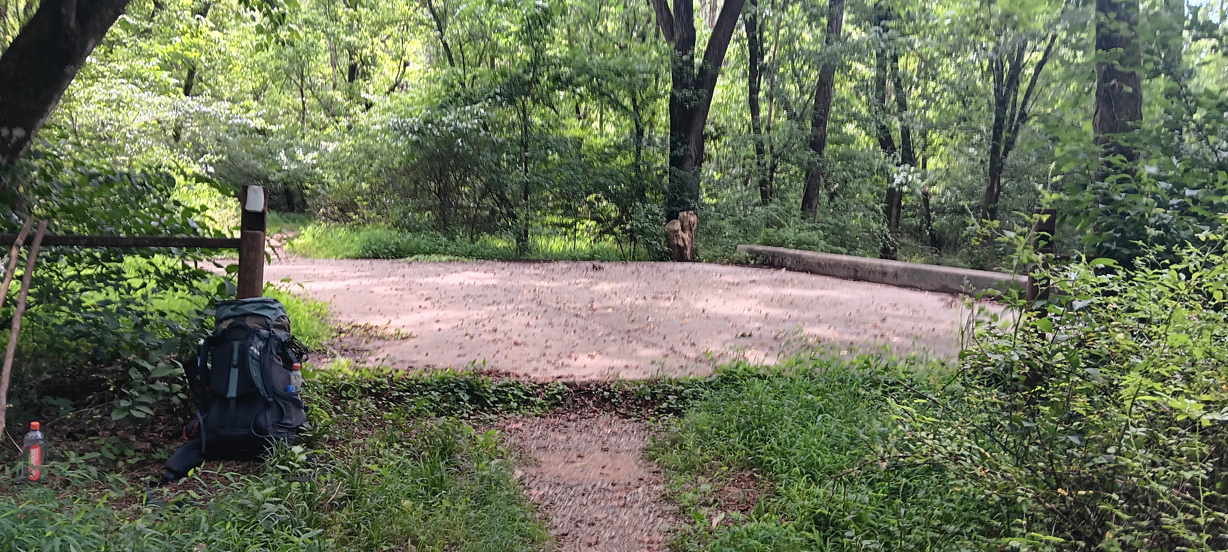
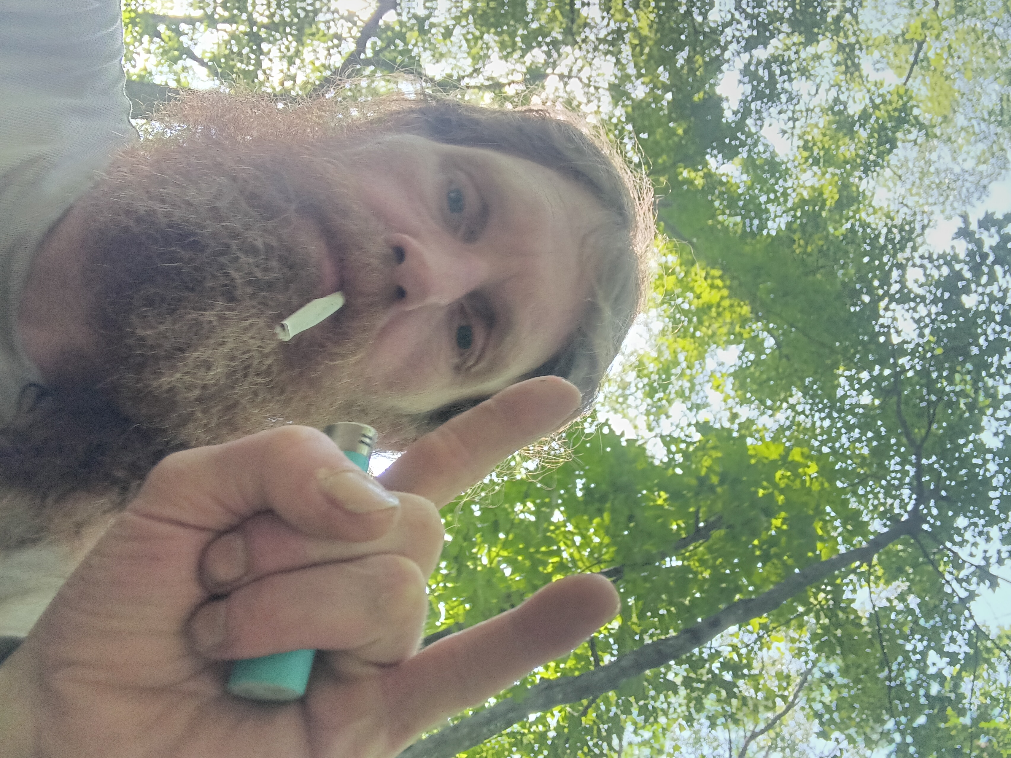
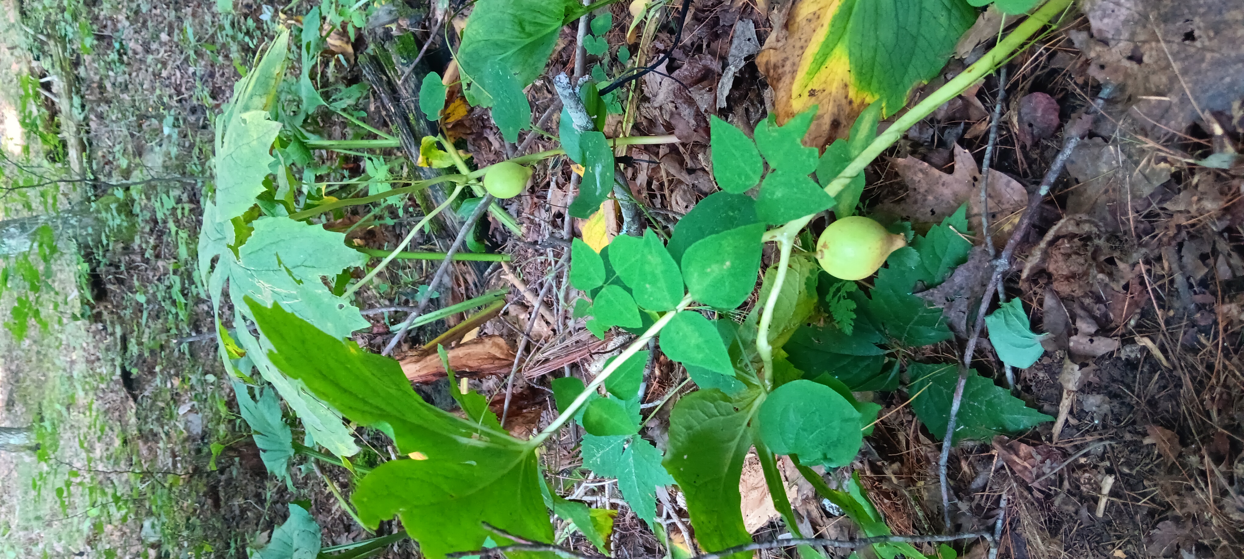
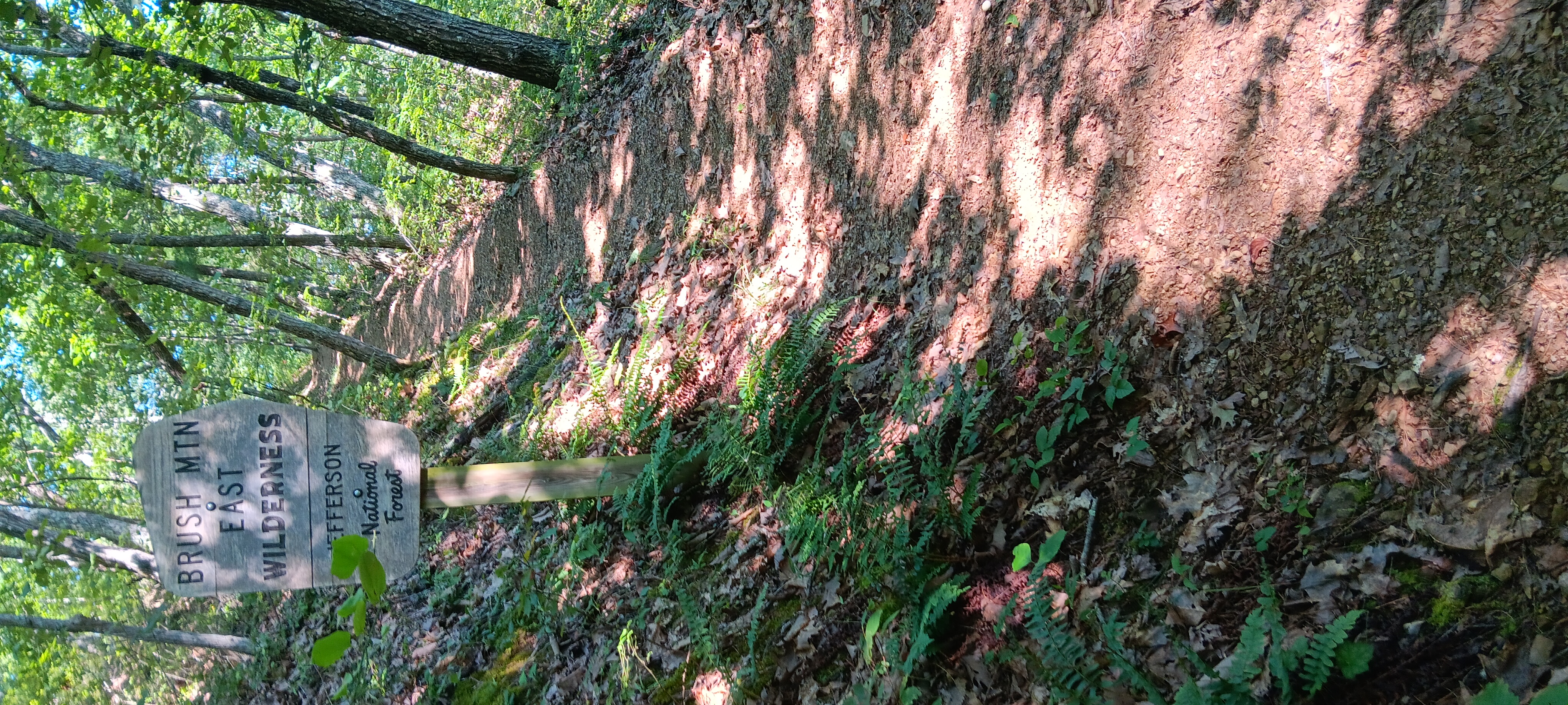
I spent 45 minutes filling water and taking pictures after a morning smoke and then another 45 minutes packing and eating breakfast including some late mayapples before heading up the hill.

I spent an hour and ten minutes climbing switchbacks.

Found at least half a dozen false summits.

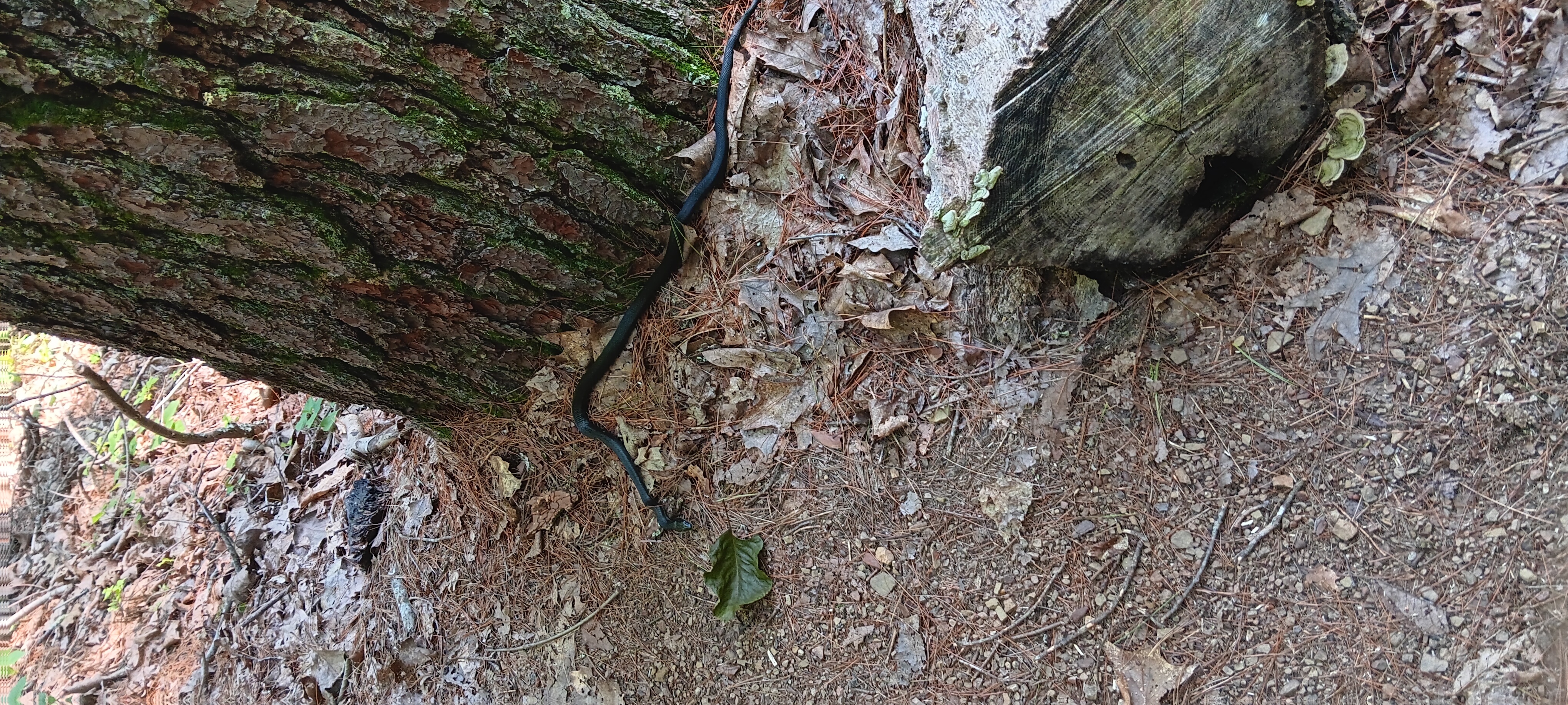
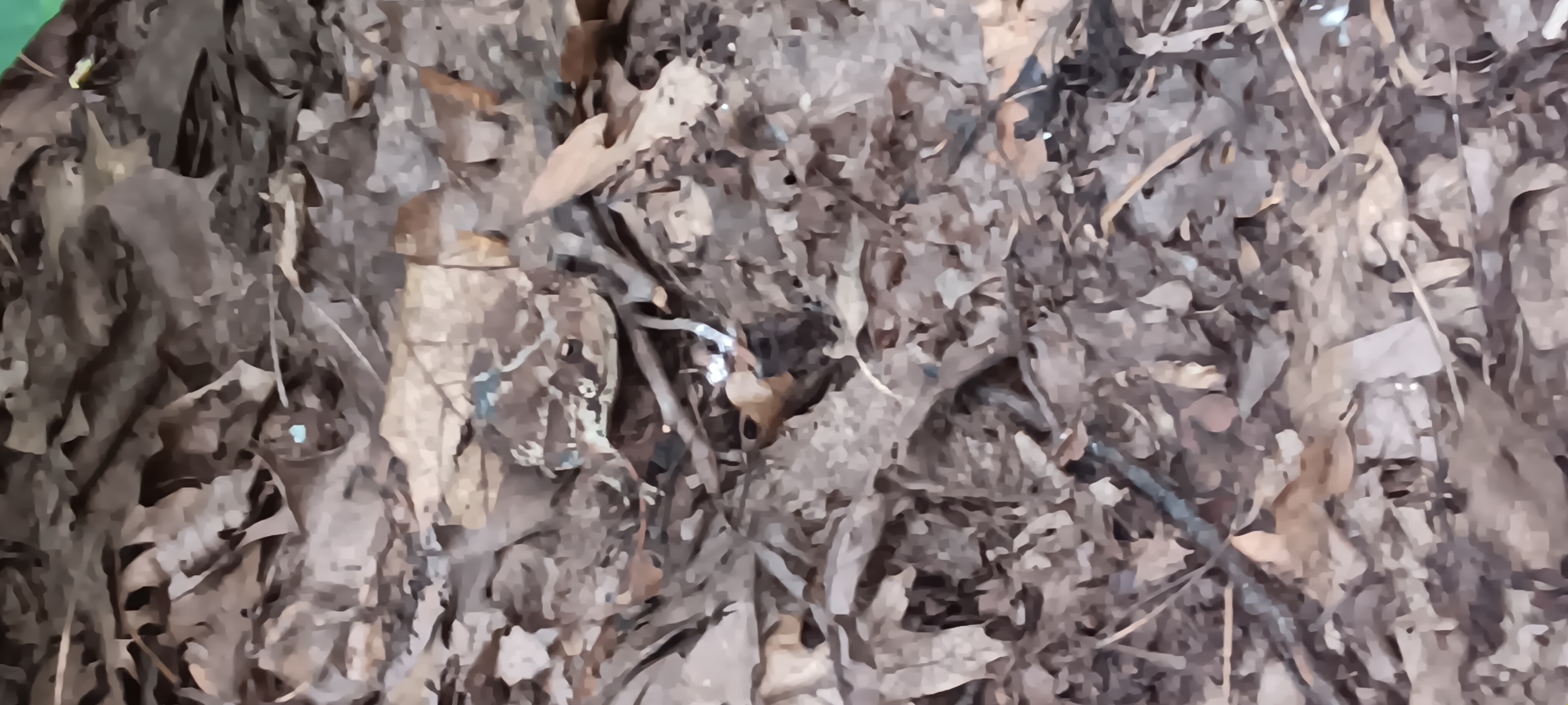
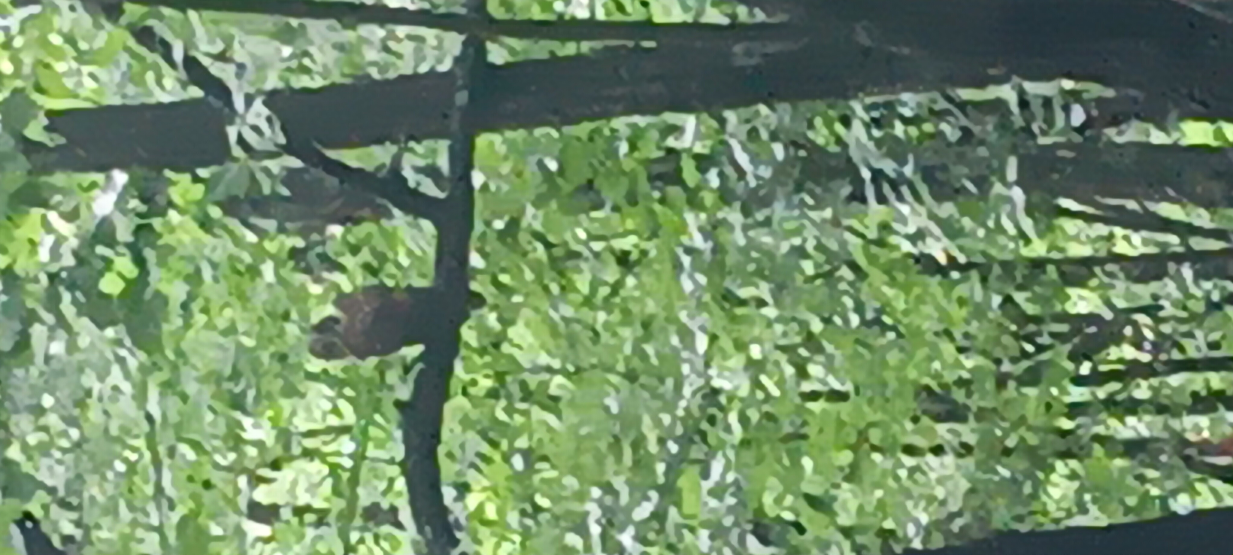
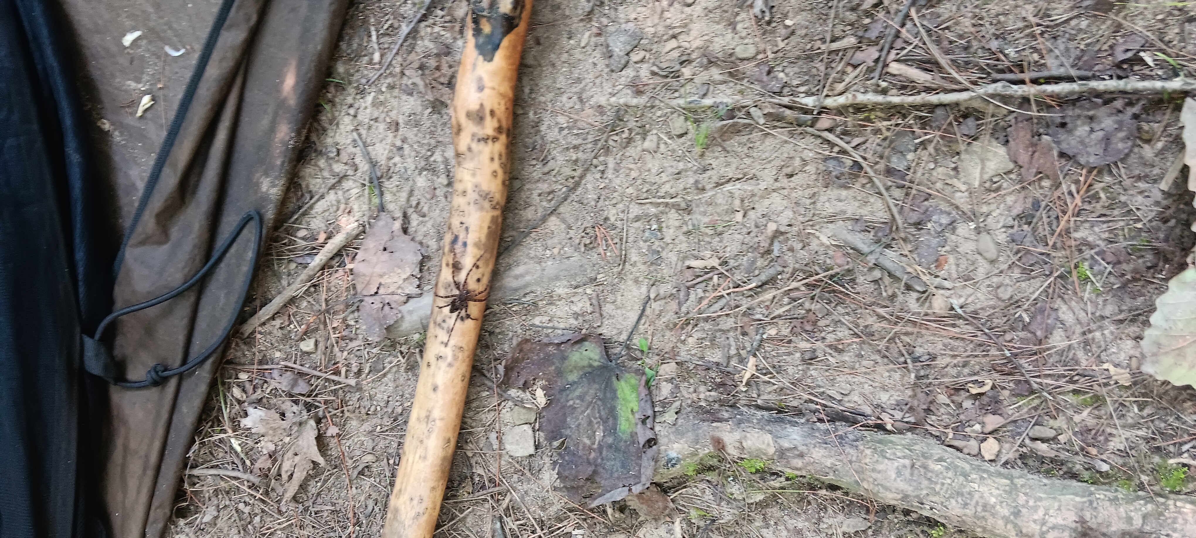
Met a young friendly snake who posed for a pic before succumbing to snack time next to a tree that did not die gracefully.
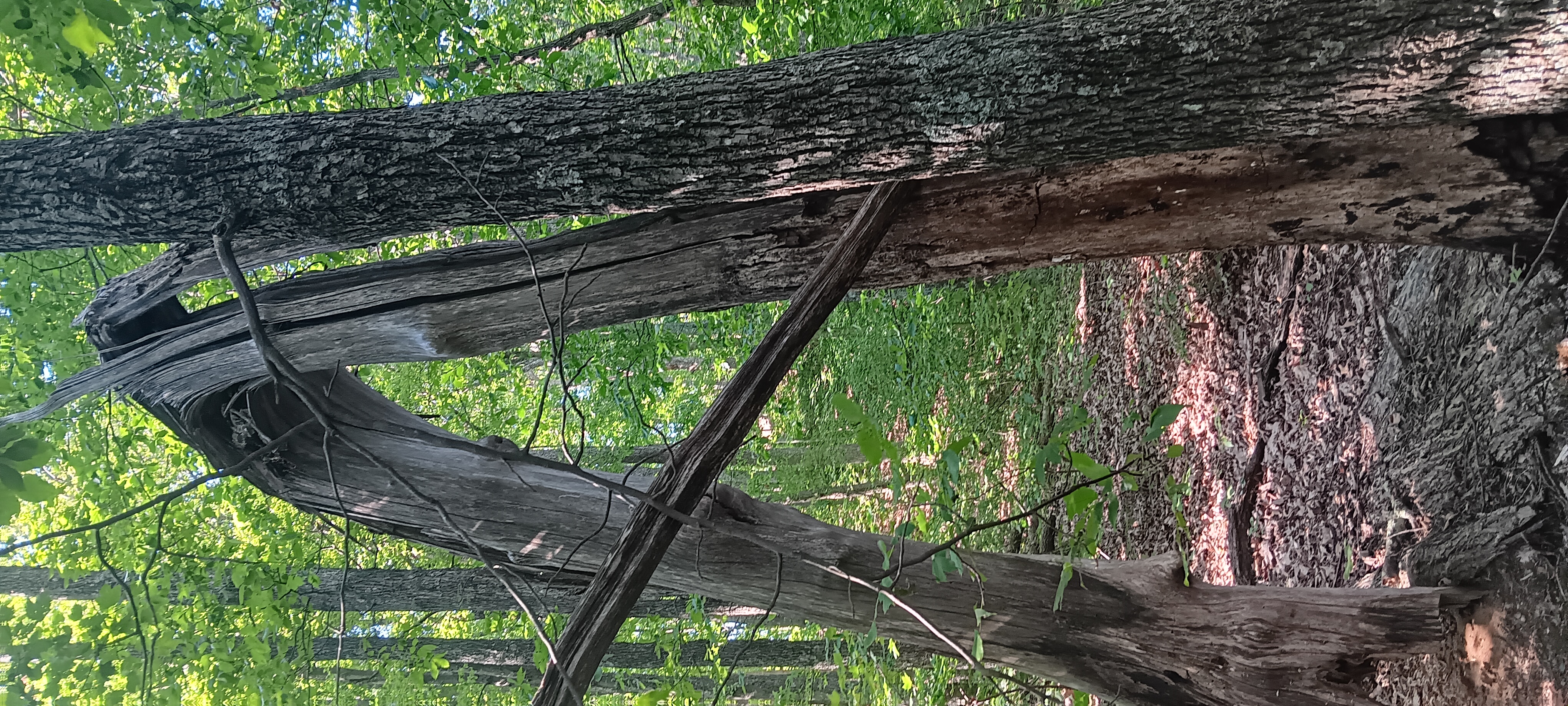
Sad Bendy Oak

click to open gallery

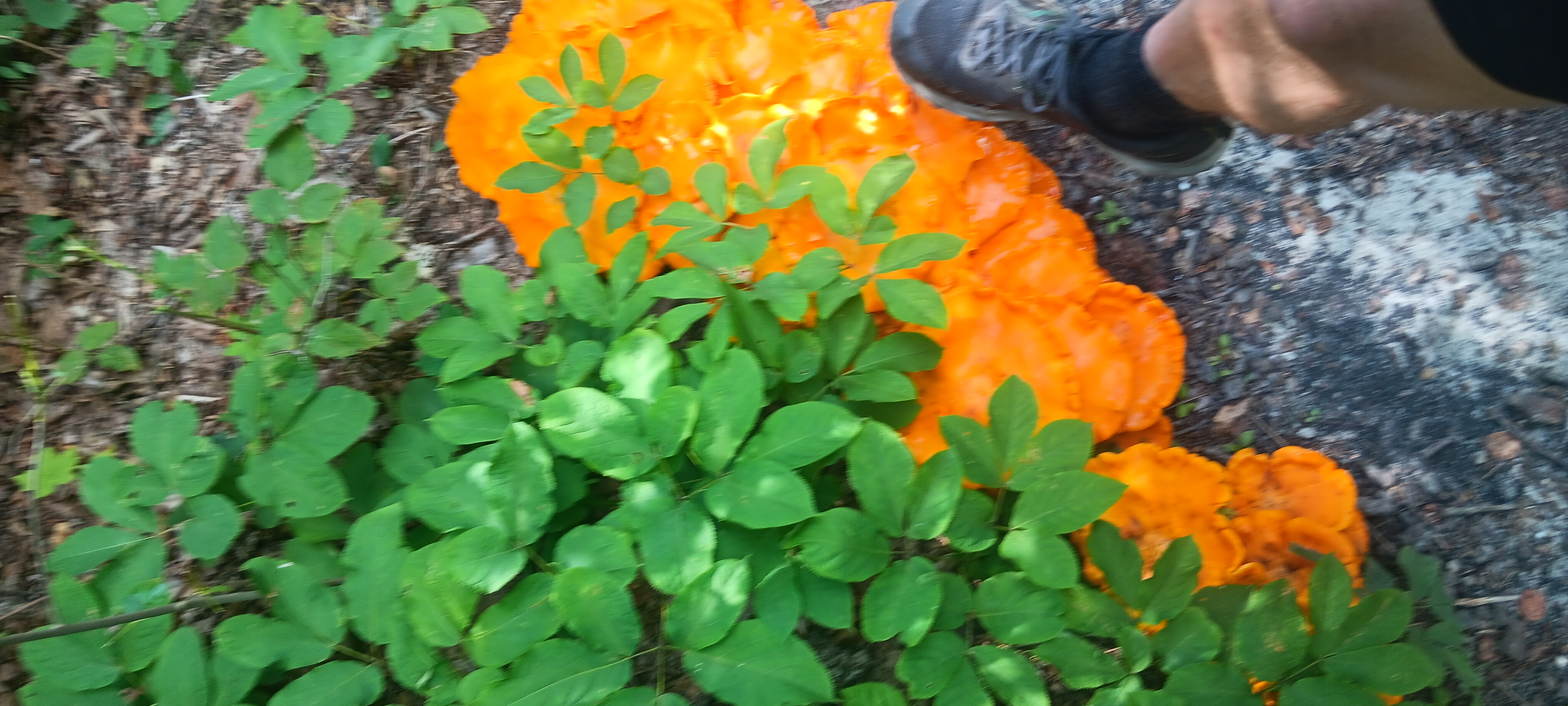
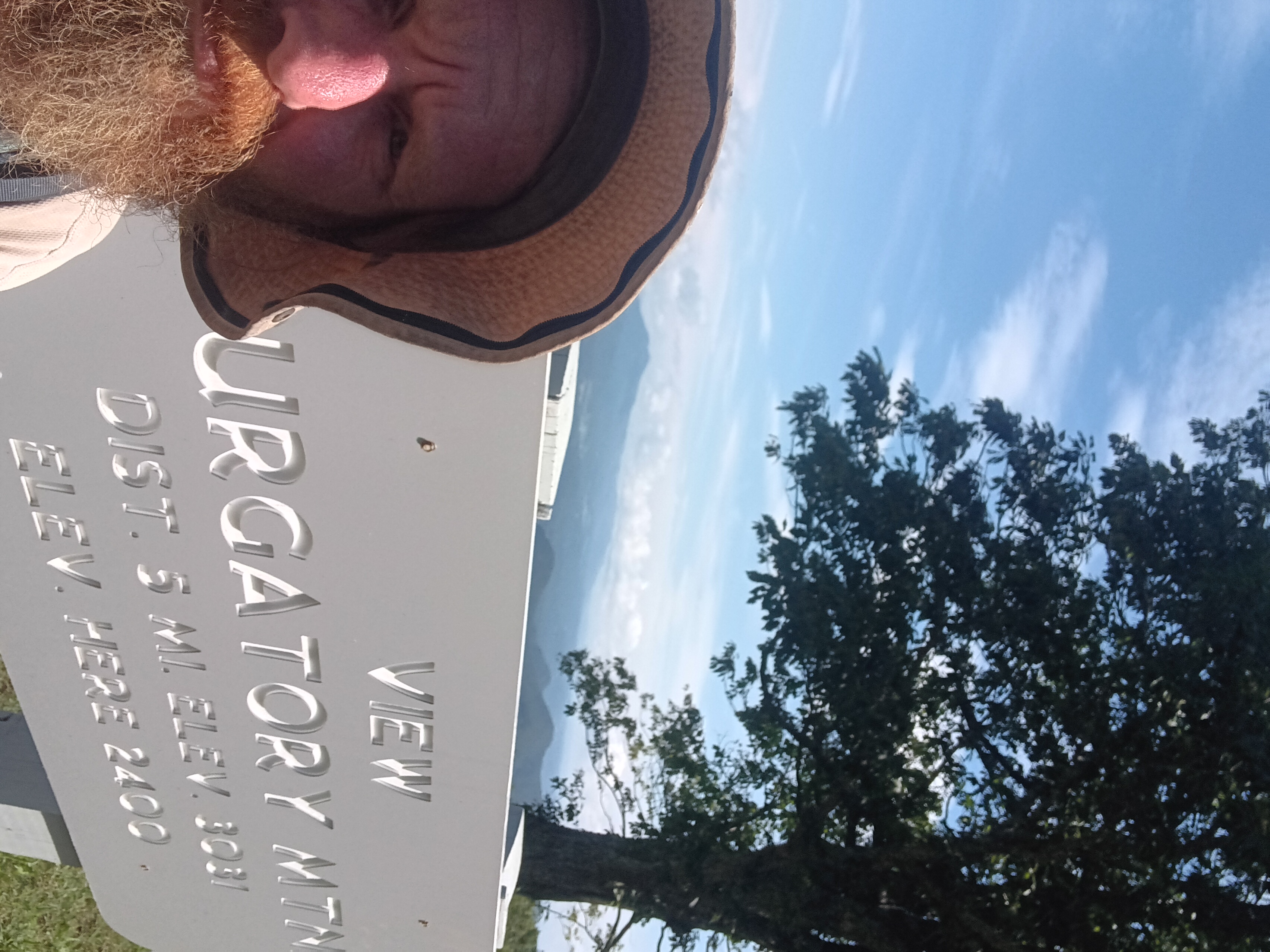
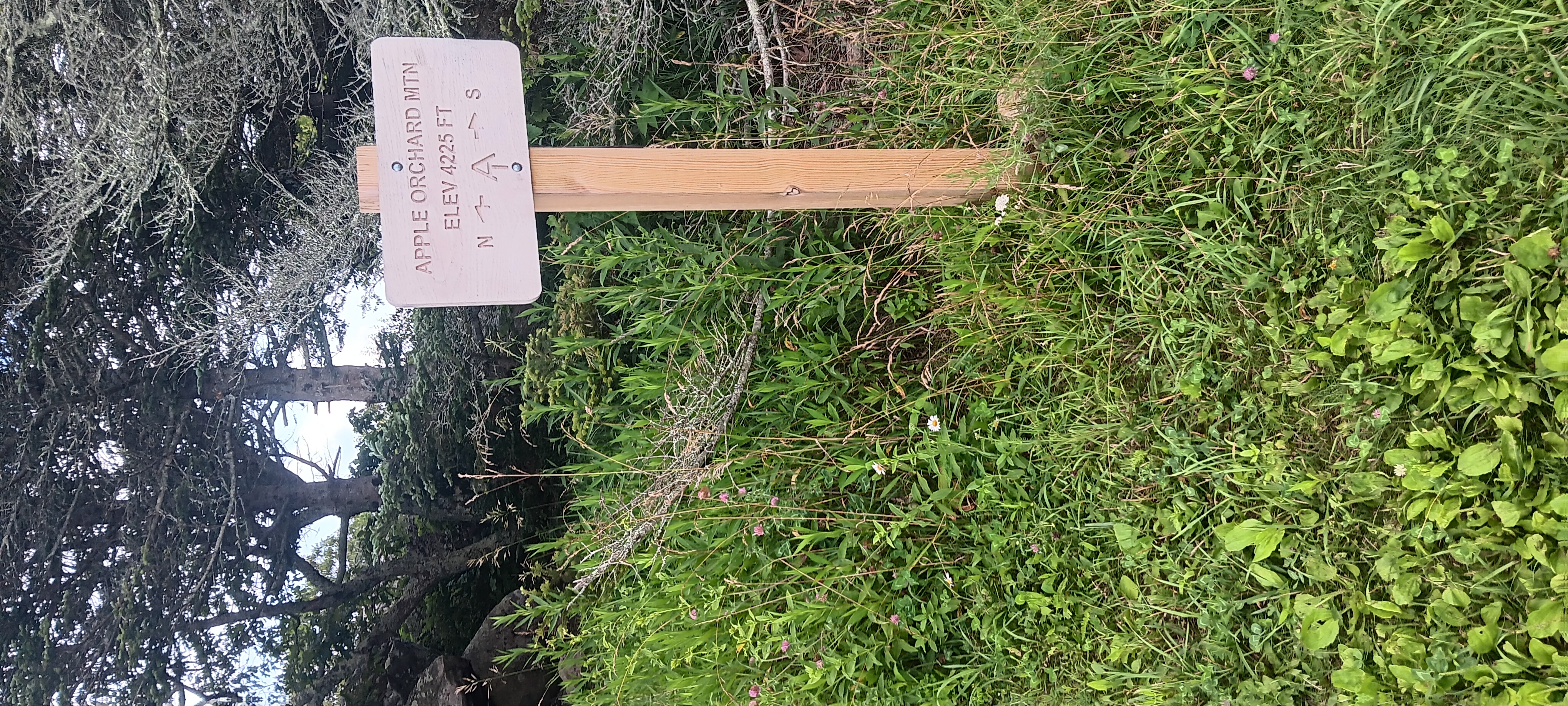
I still hadn’t reached the true top. But I did witness the impossible.

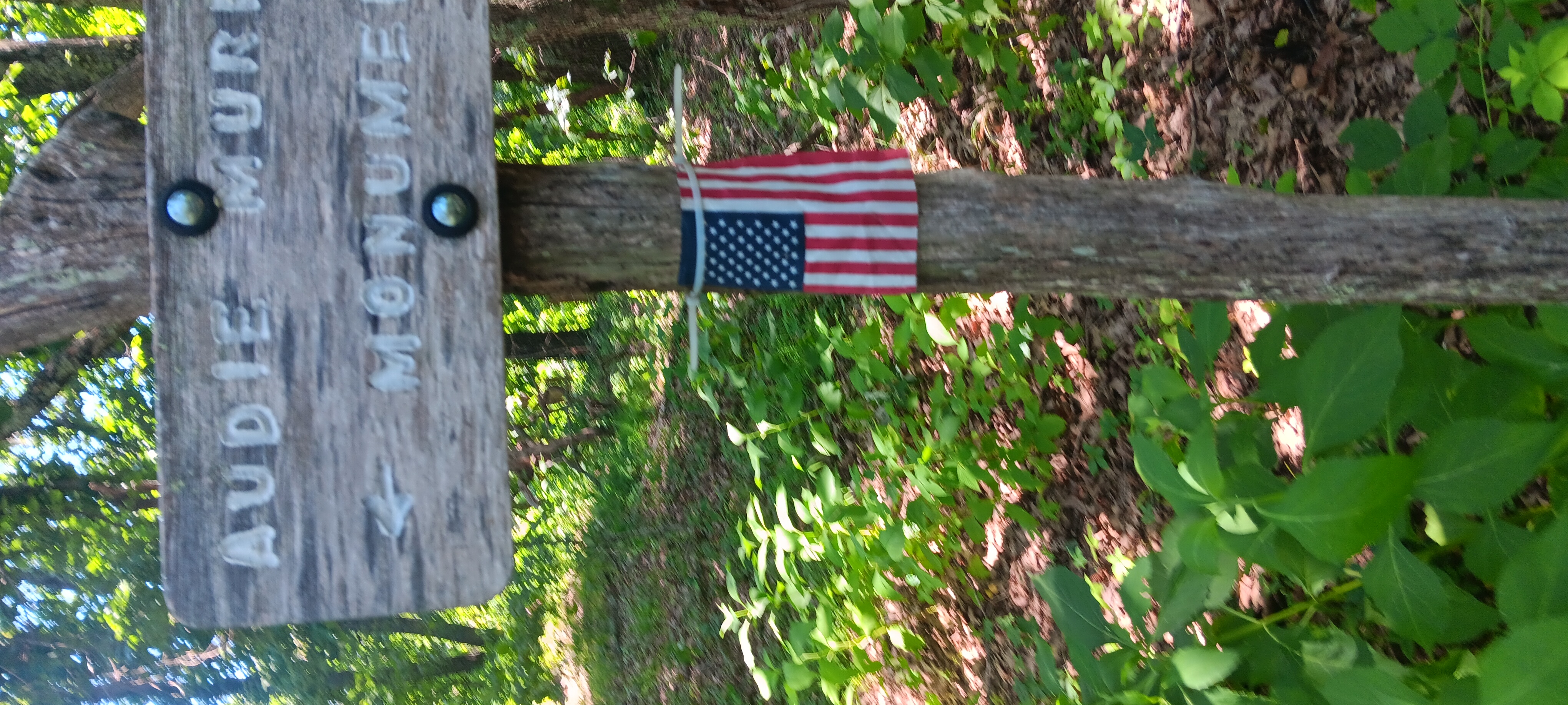
Stopped at the audie Murphy monument for a snack and a lecture.

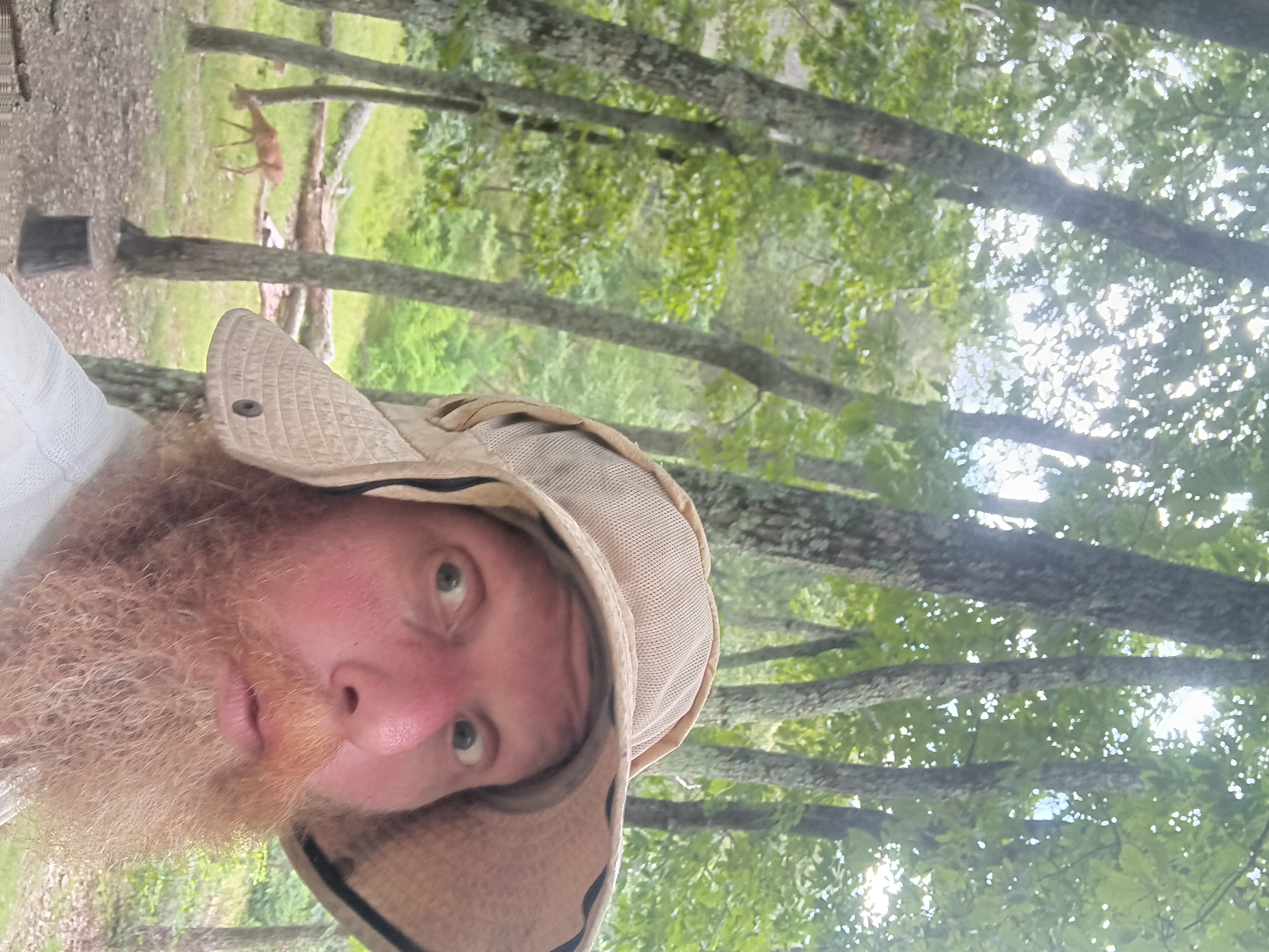
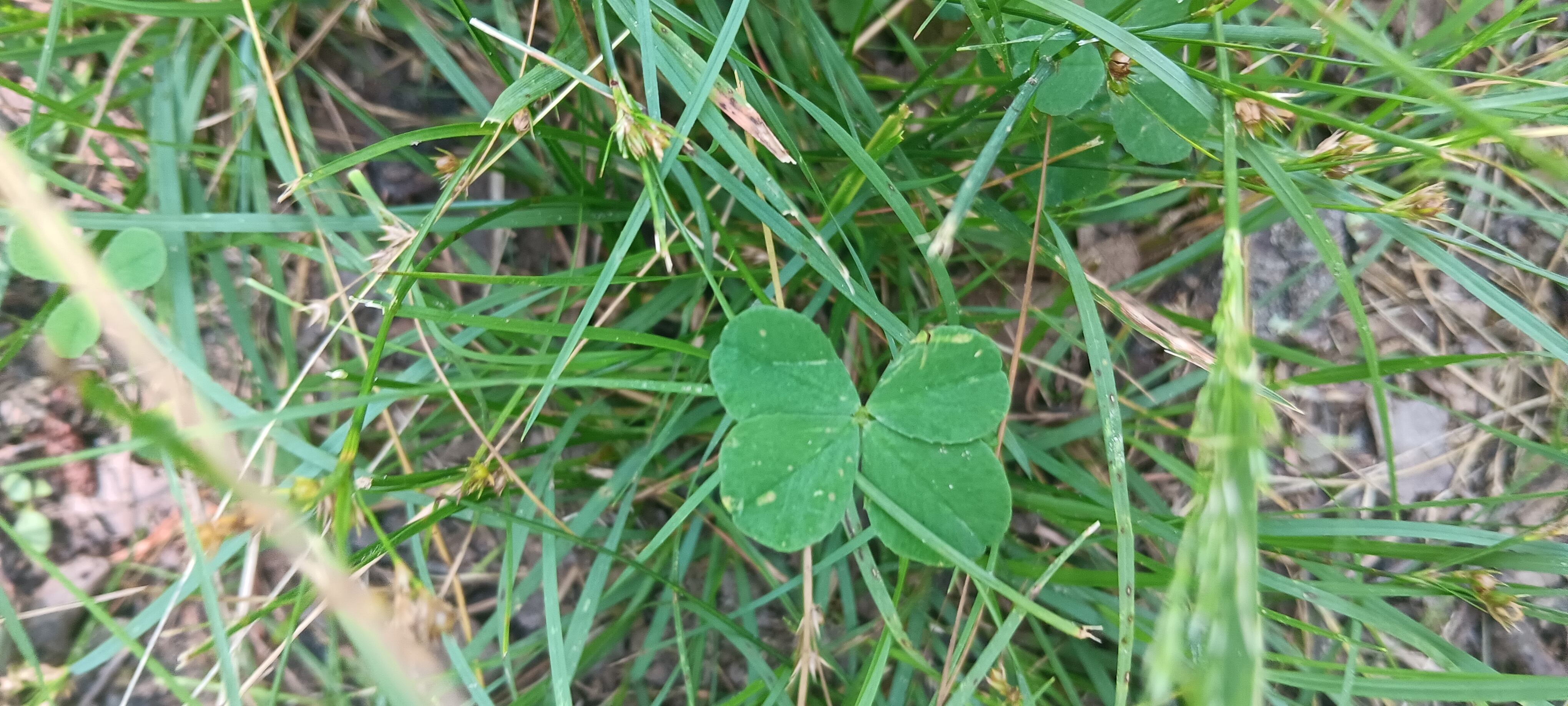
True to my name I found a four leaf clover.

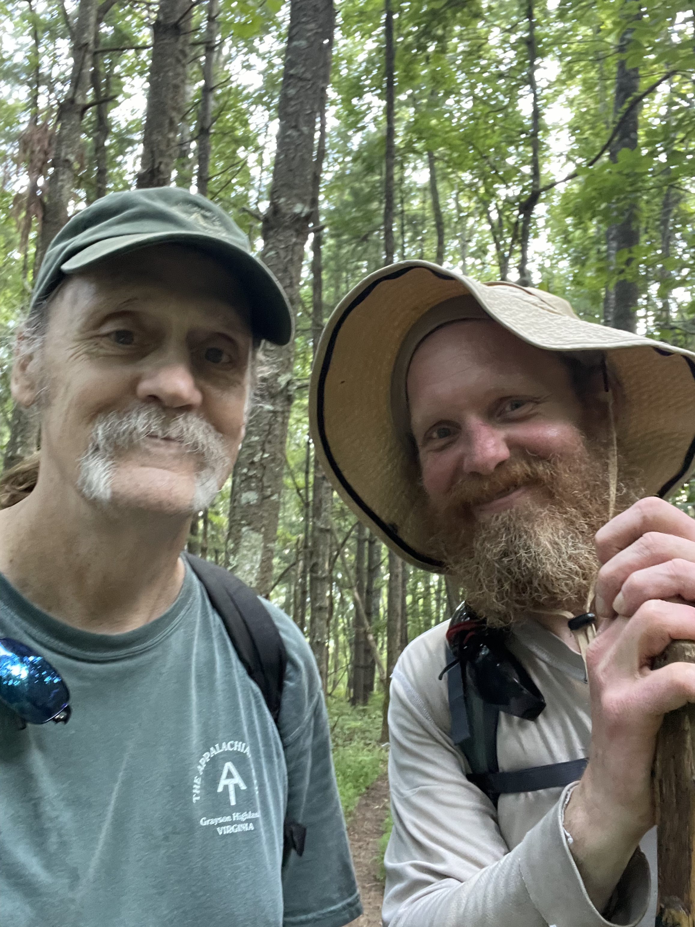
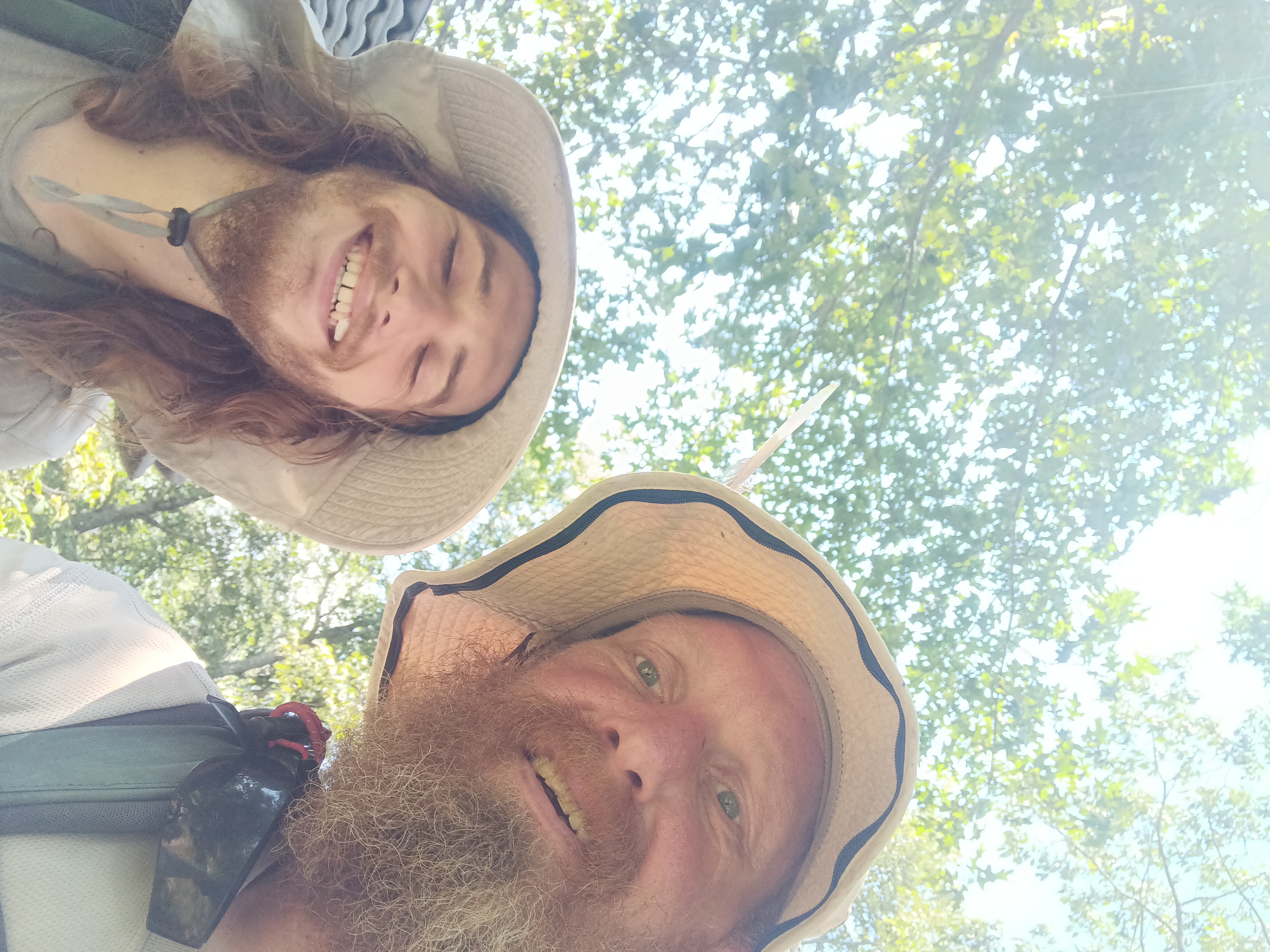
Met Grouch on the way down, and another person from Georgia too busy to stop.

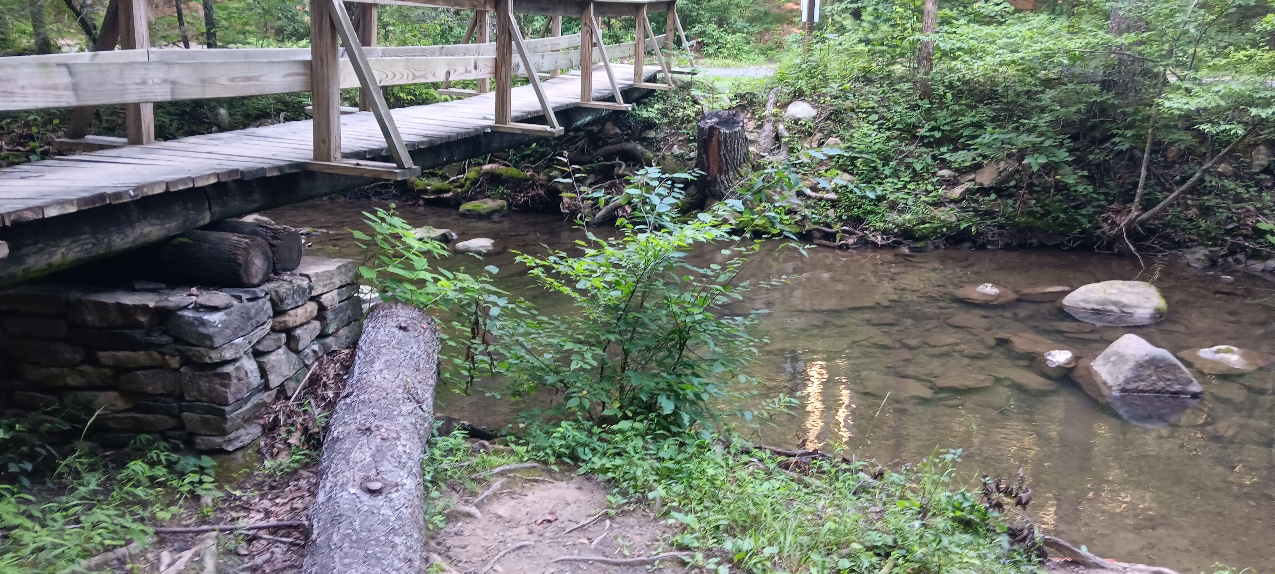
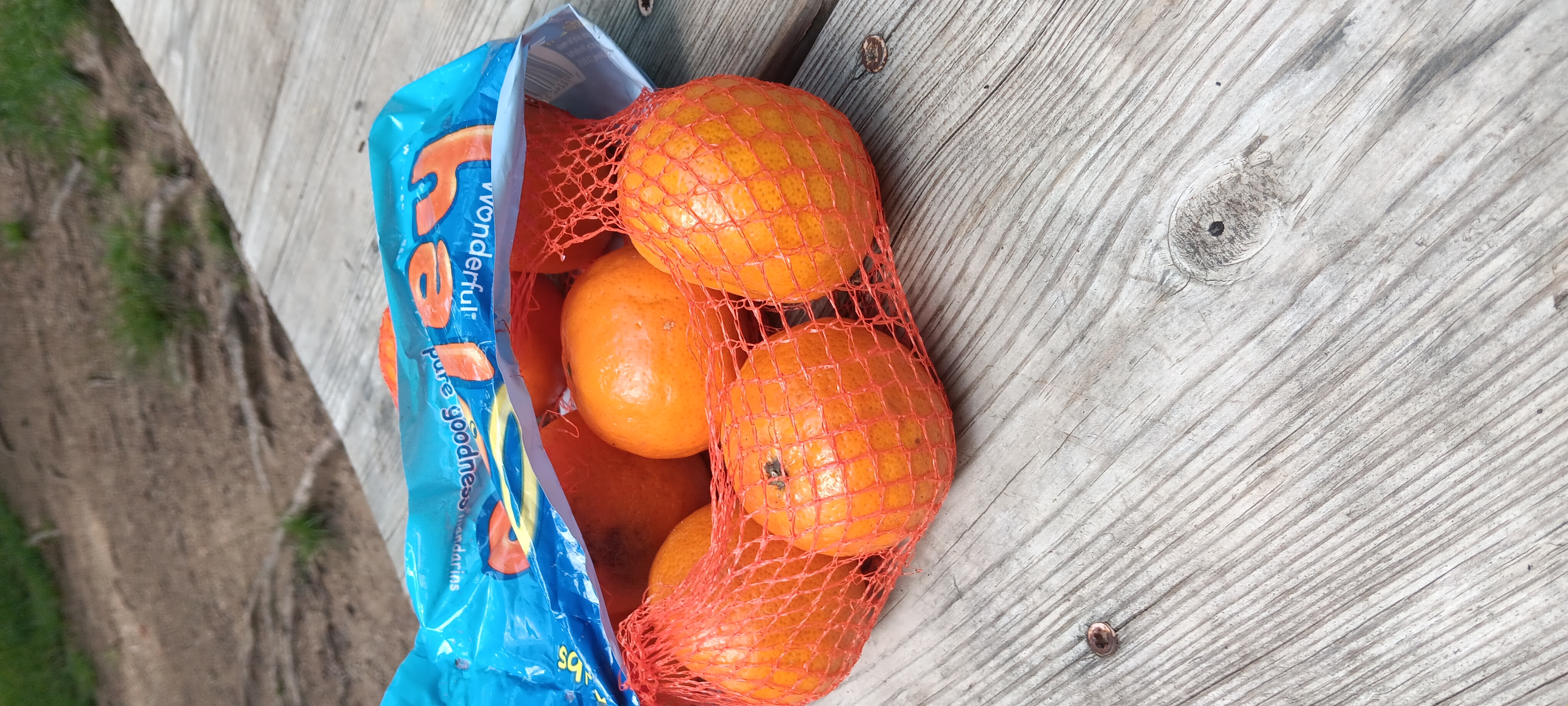
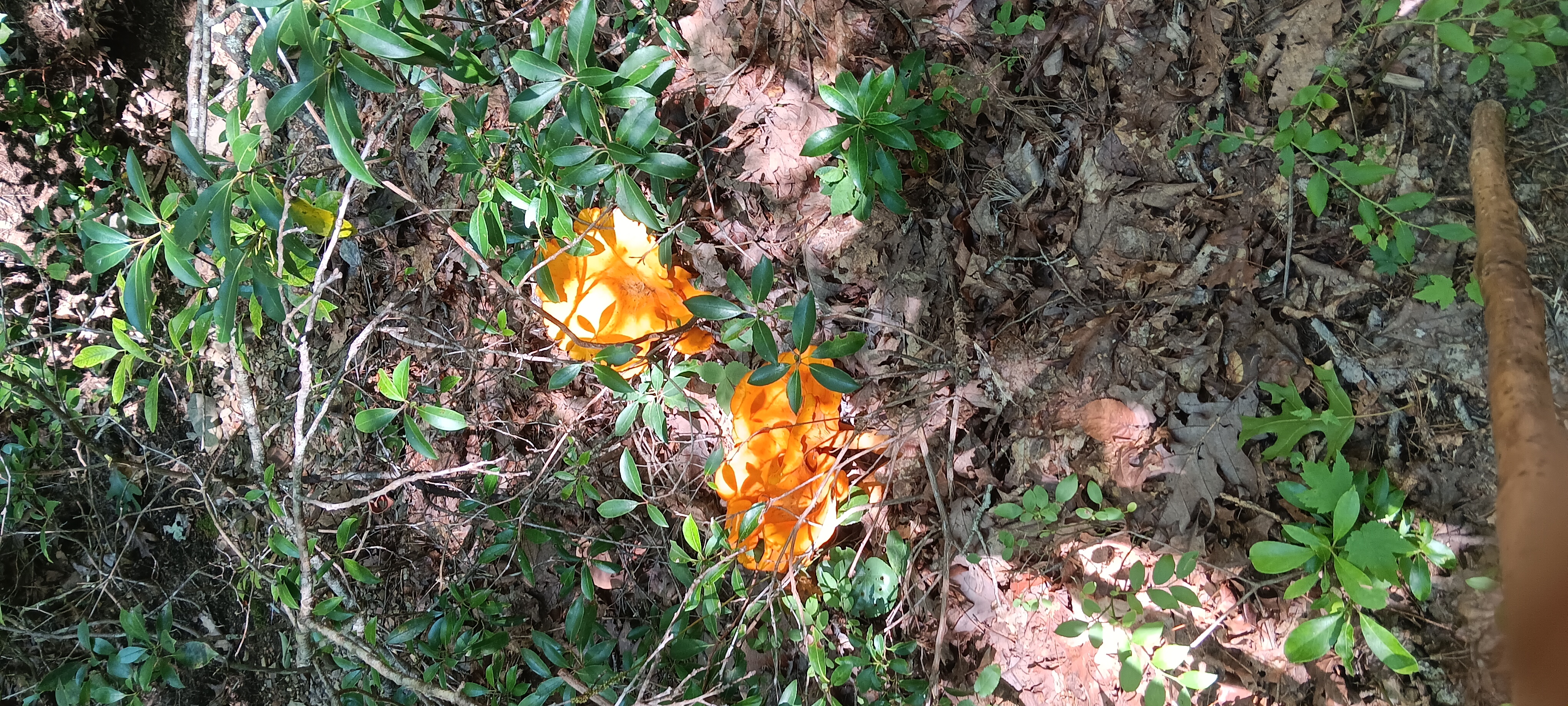
Made it down to a Craigs Creek for a protein shake and pushups. I found mushrooms along the way.

I got a bit turned around at craigs creek. There are many washout that look like trails. Forks in the trail with no blazes. Rerouts that lead nowhere.

Eventually I was off trail but I bushwhacked over 3 ridges to get back on the trail. I’m supposed to be lost on trail not lost off trail.

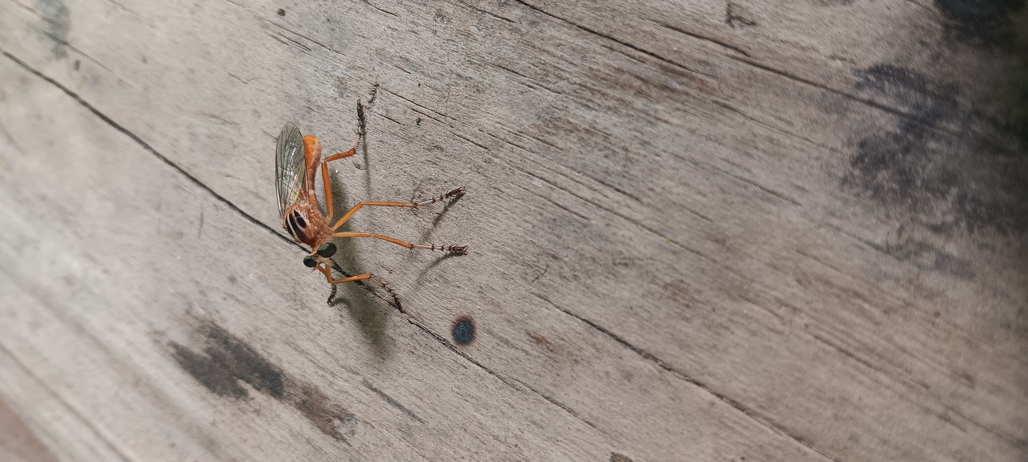
Went up to Niday for water and more push ups. Me and a friend discussed bugs.

I cameled at niday planning to get more water .7 up at cabin branch but was denied. It’s that time of year.

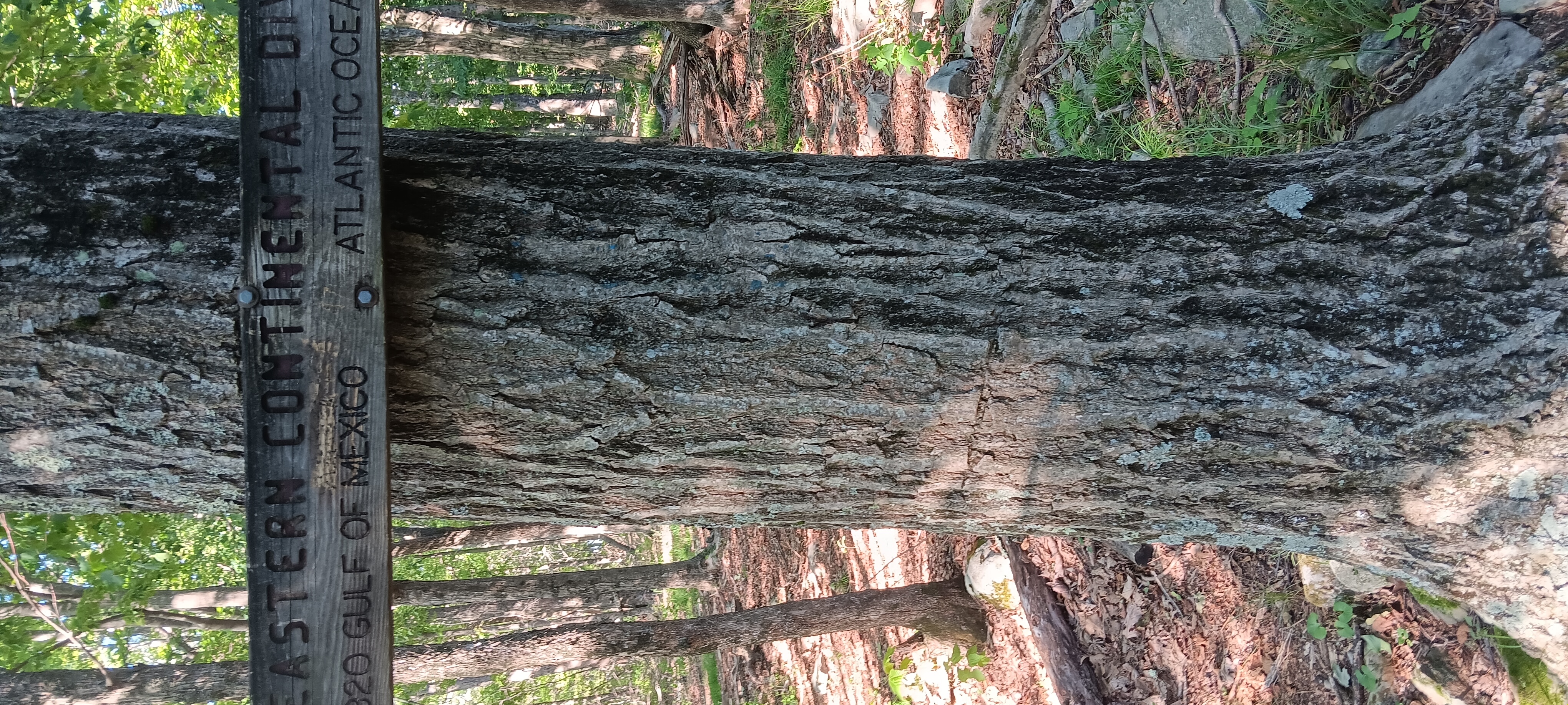
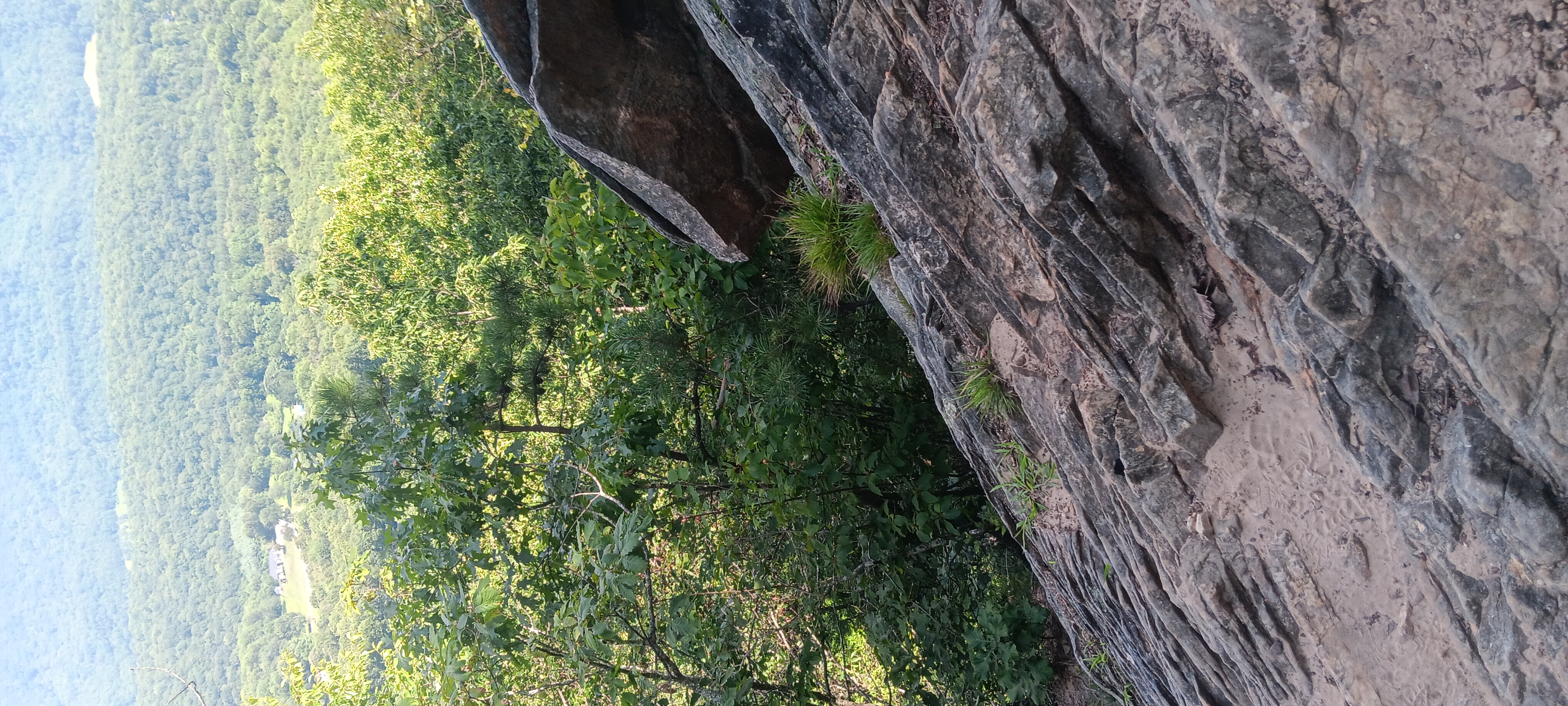
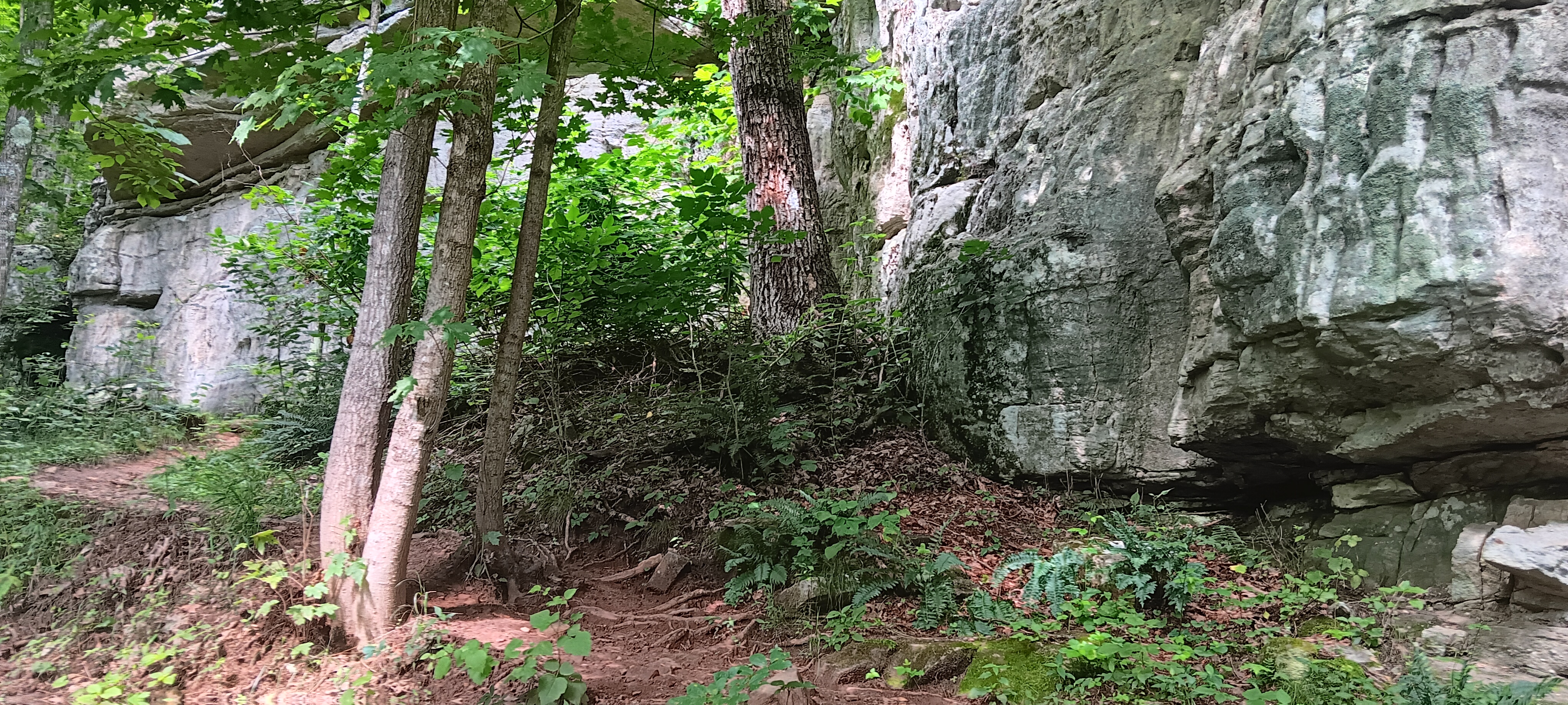
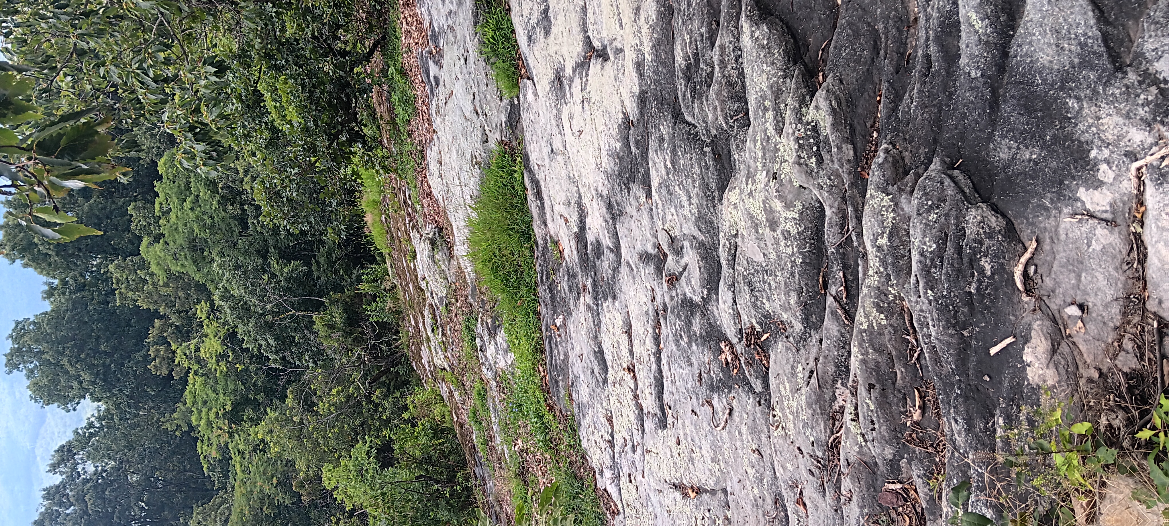
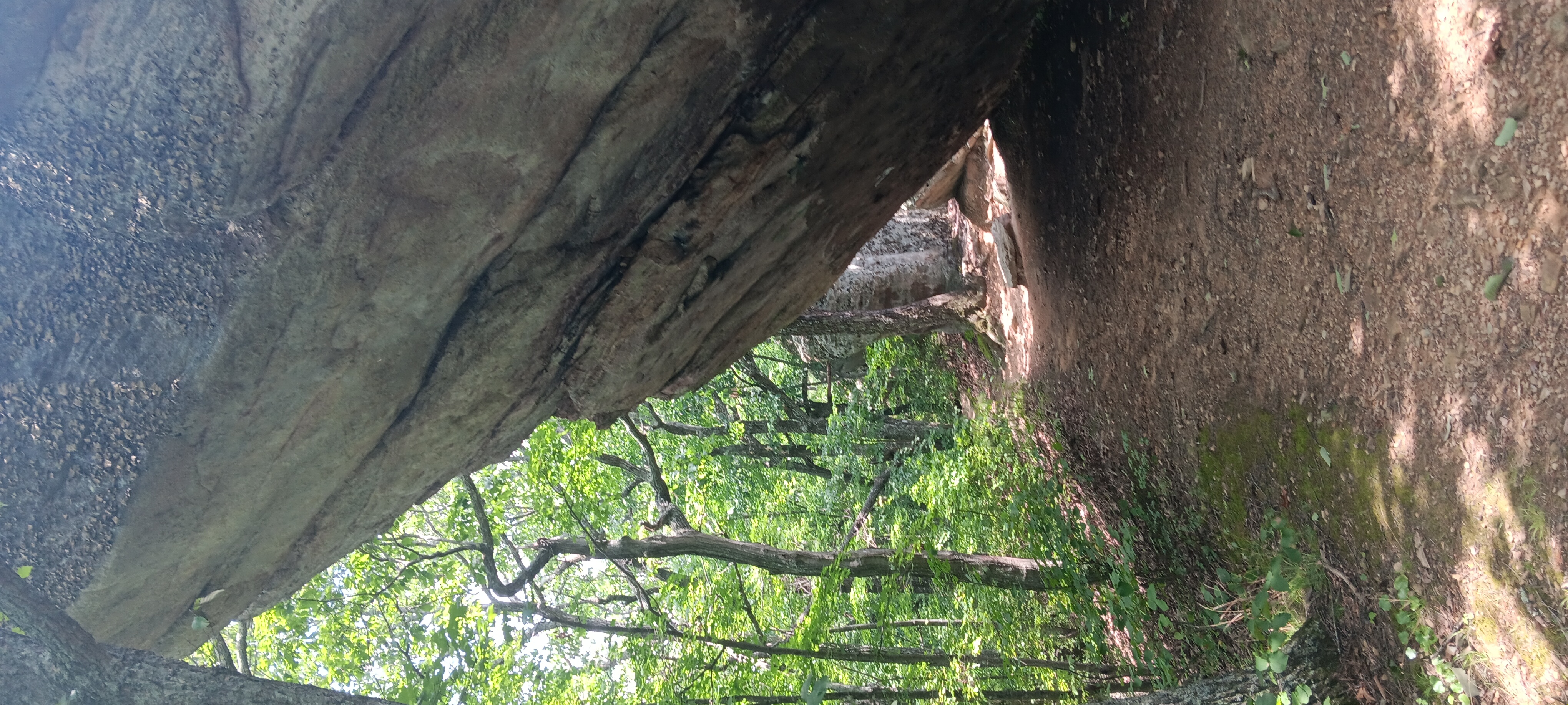
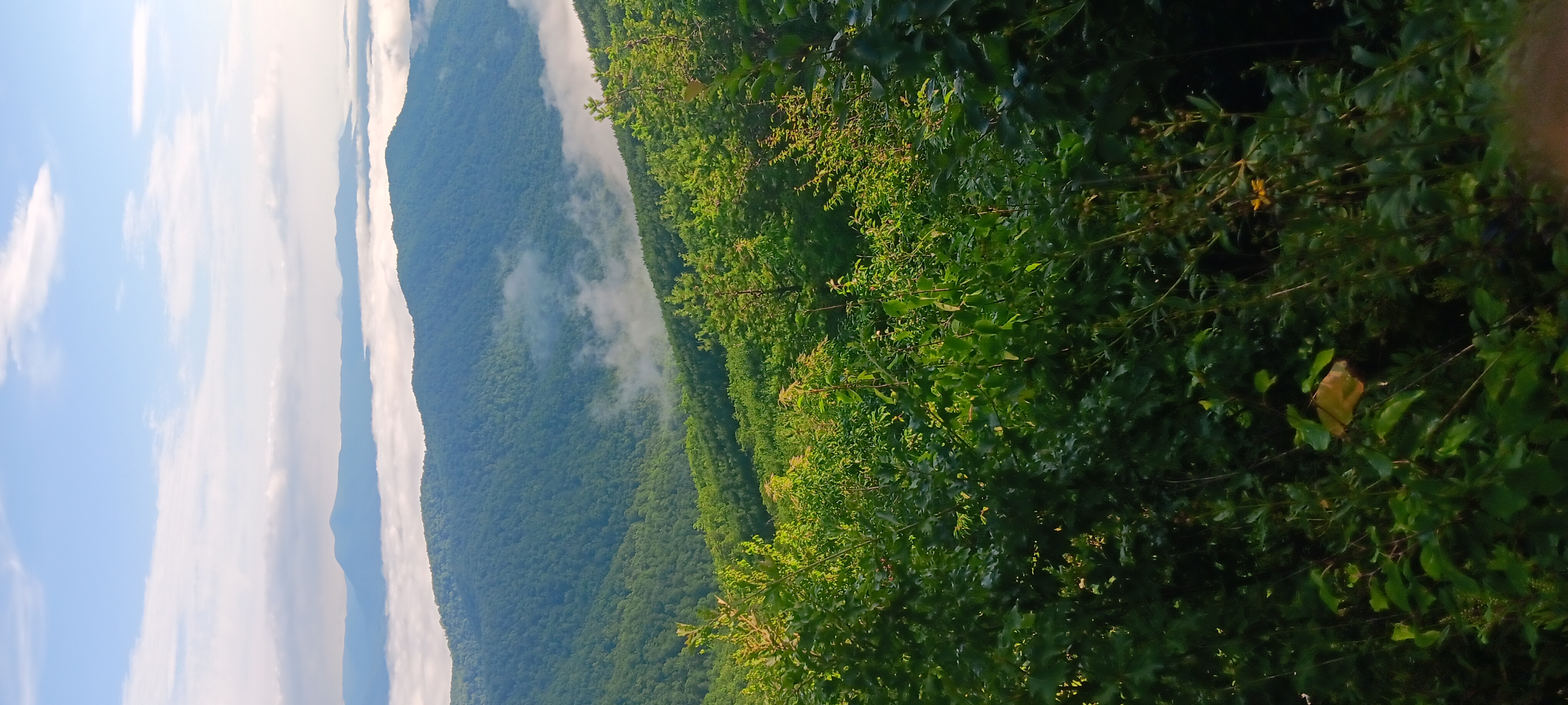
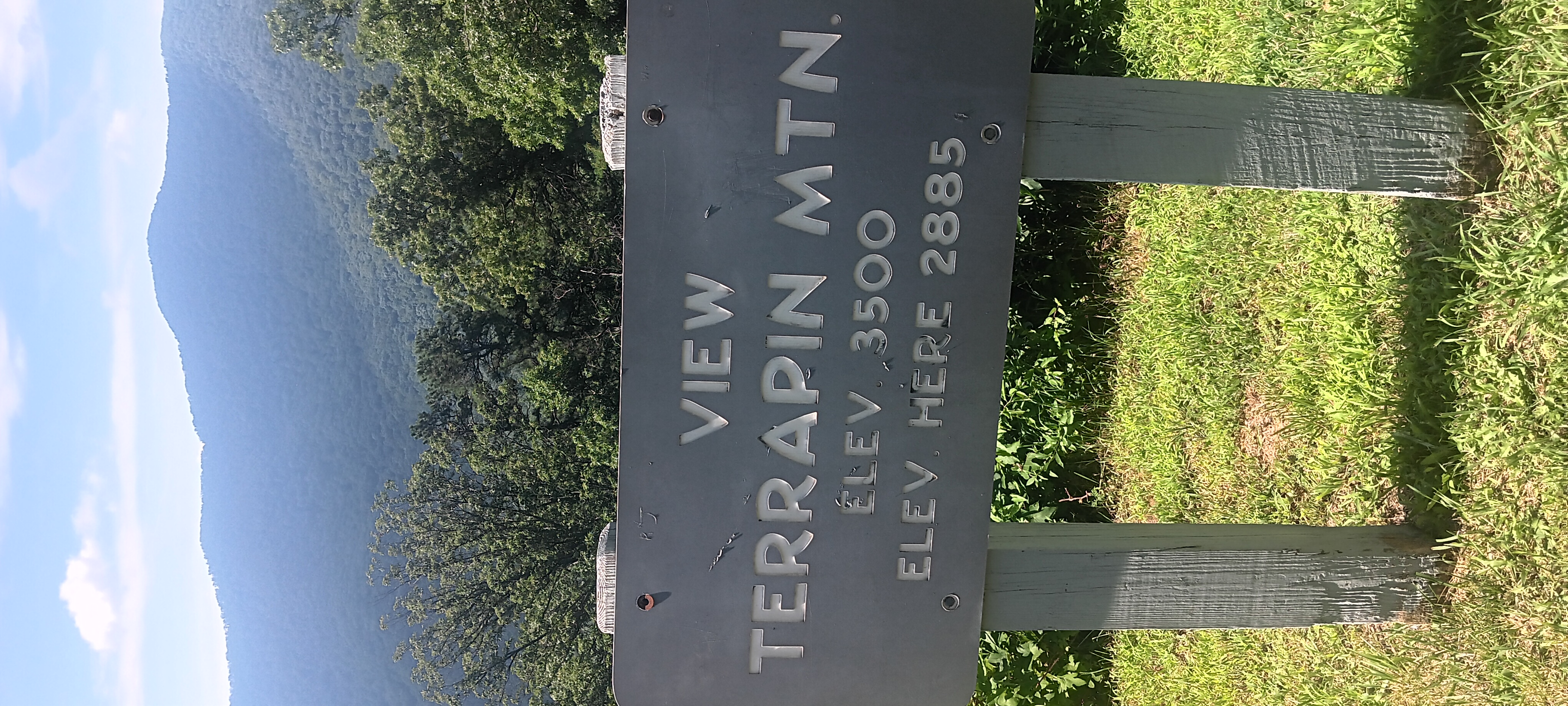
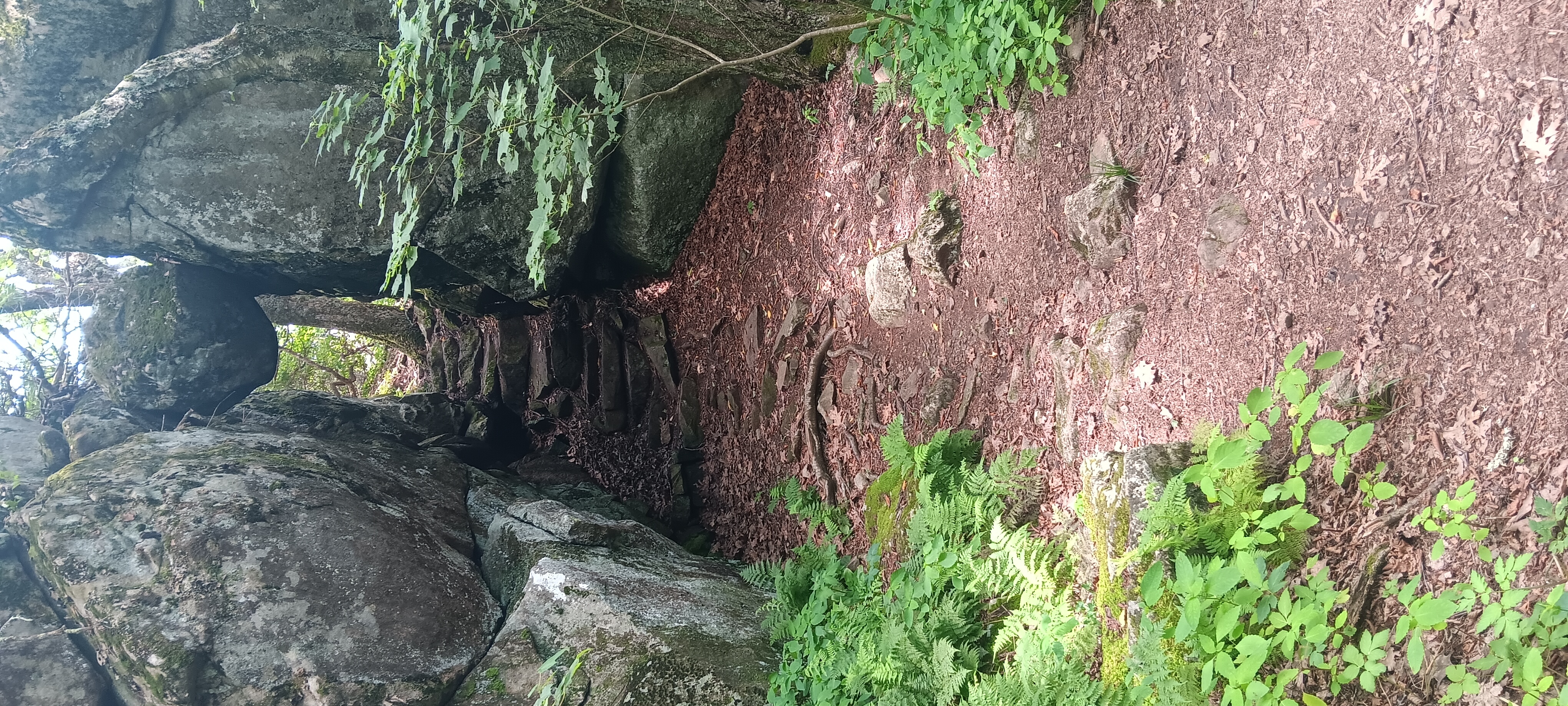
I found the eastern continental divide trail and a pretty view. Along with rocks and thorns and sandy boulders that even vibram soles don’t grip.

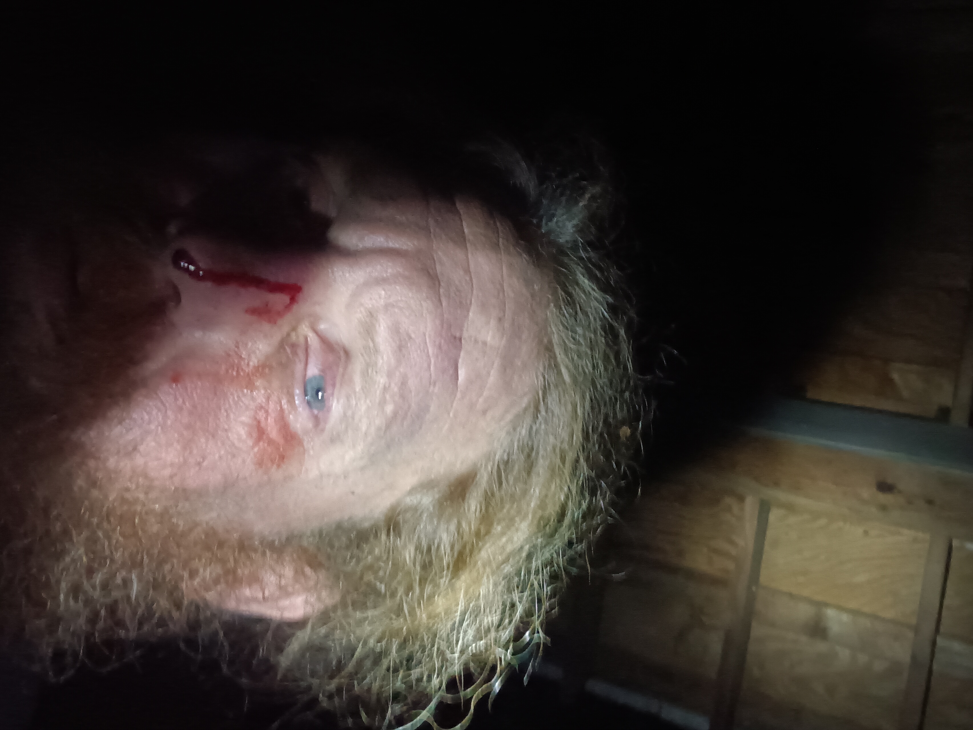
Staggered 7 miles over sheer rocks in 90 degrees with not a drop to drink; a fools errand.

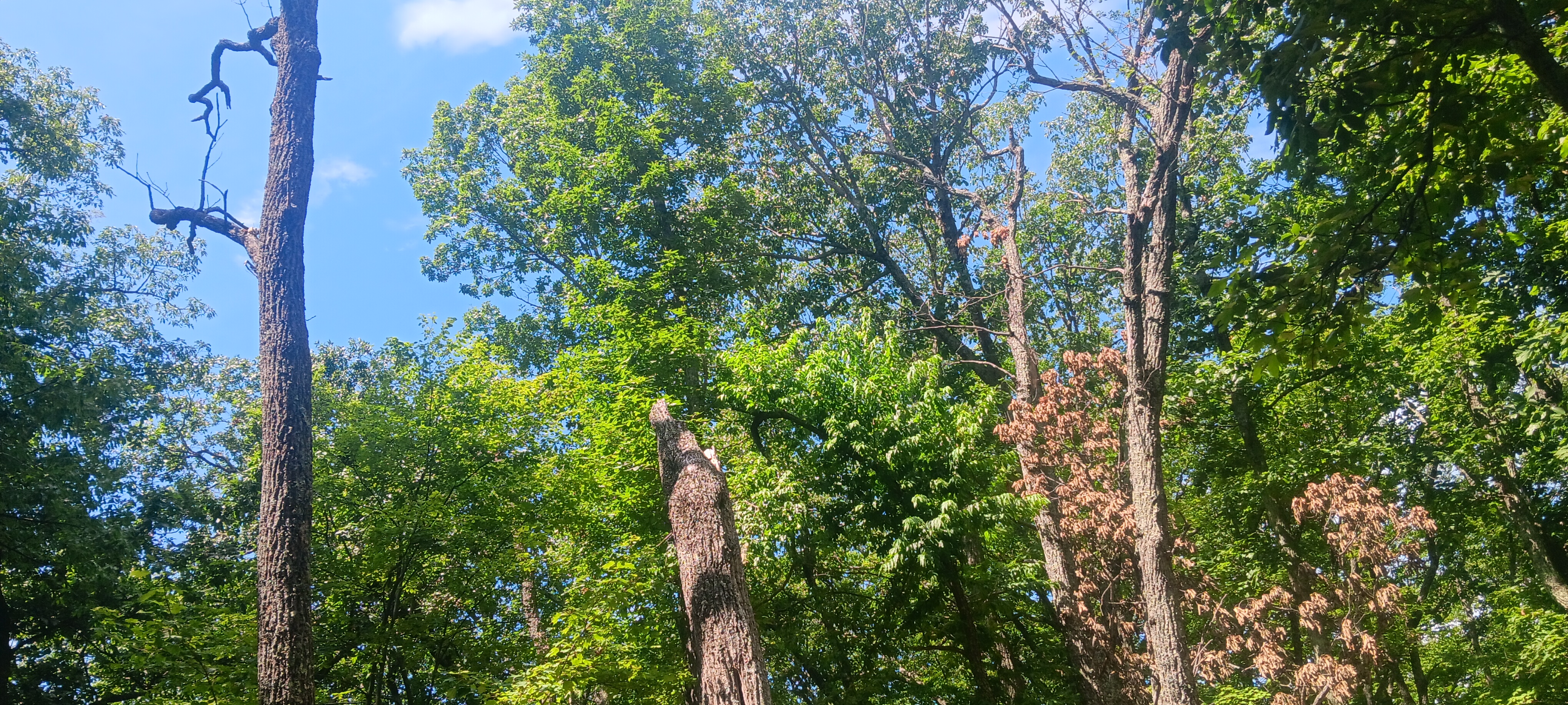
The path was super brutal. Very rocky and rough and overgrown thorns clawing at me. In a few places I had to mountain climb instead of hike. The 4 mile ridge walk took me 3.5 hours. I may have seen traces of an ancient American pyramid.


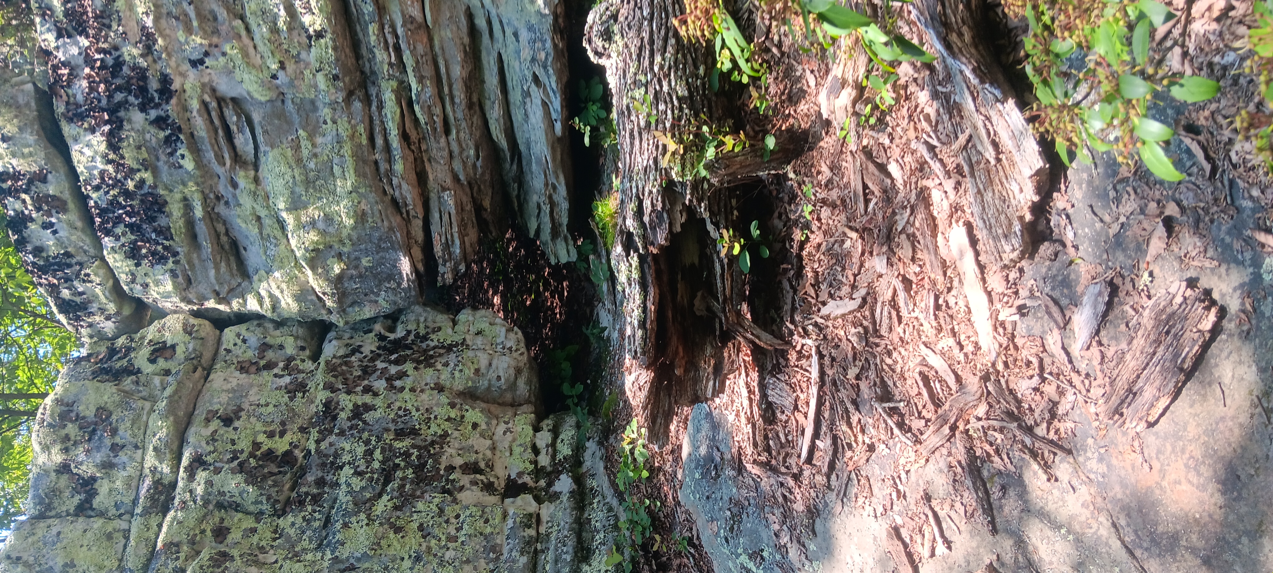
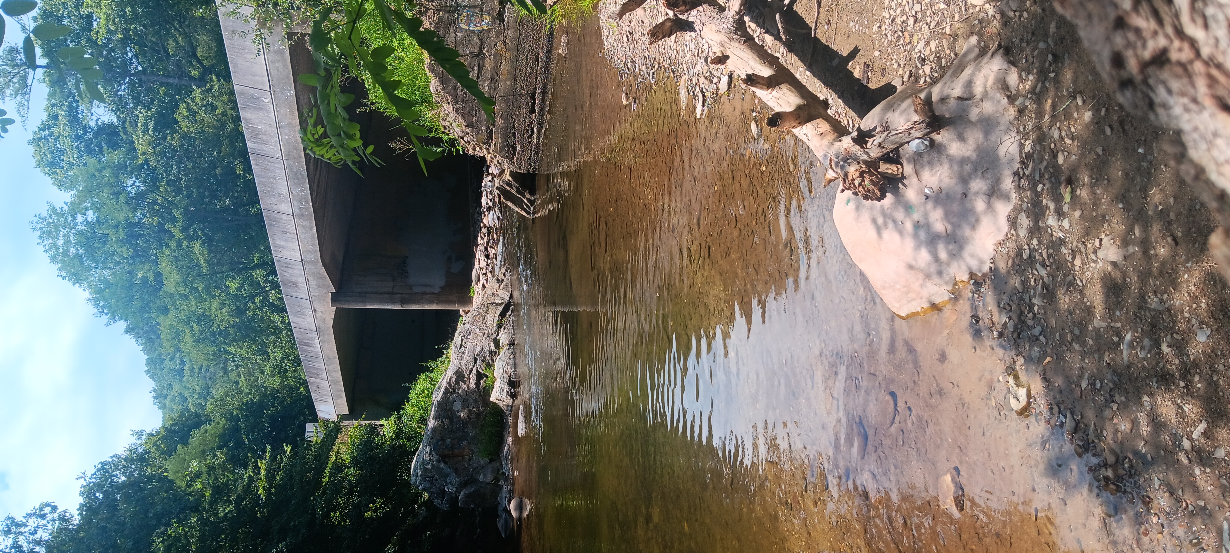
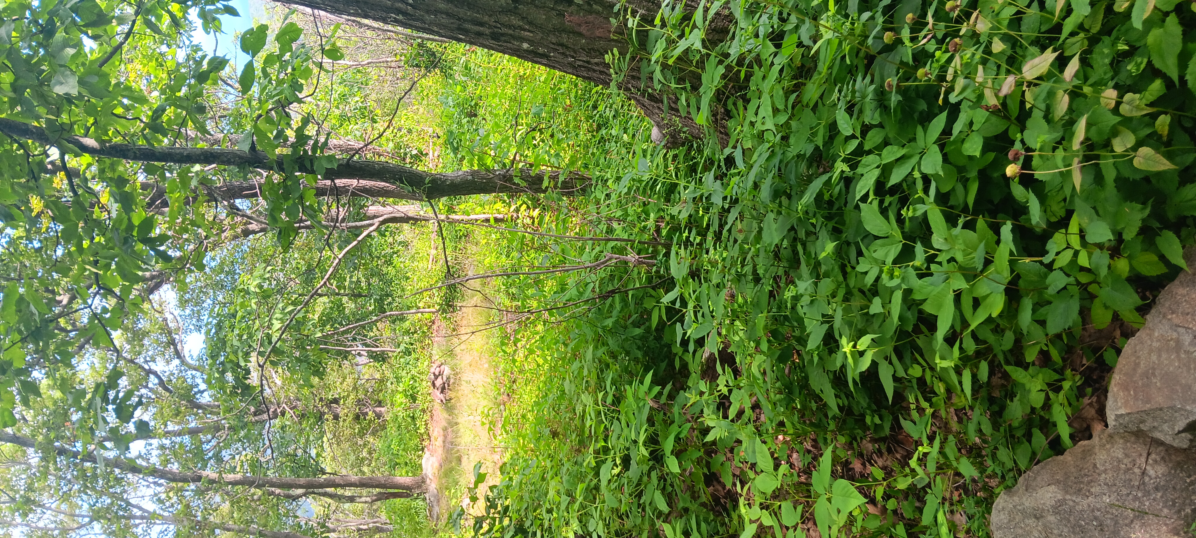
Eventually made it to Sarvers Hollow, legs cramping, feet throbbing, and a cloud of noseeums following me. I got water, drank 1.5 liters at the second spring. Water was very cool and I got a chill. Went back to the shelter snapping a few pics along the way of the old settlement.
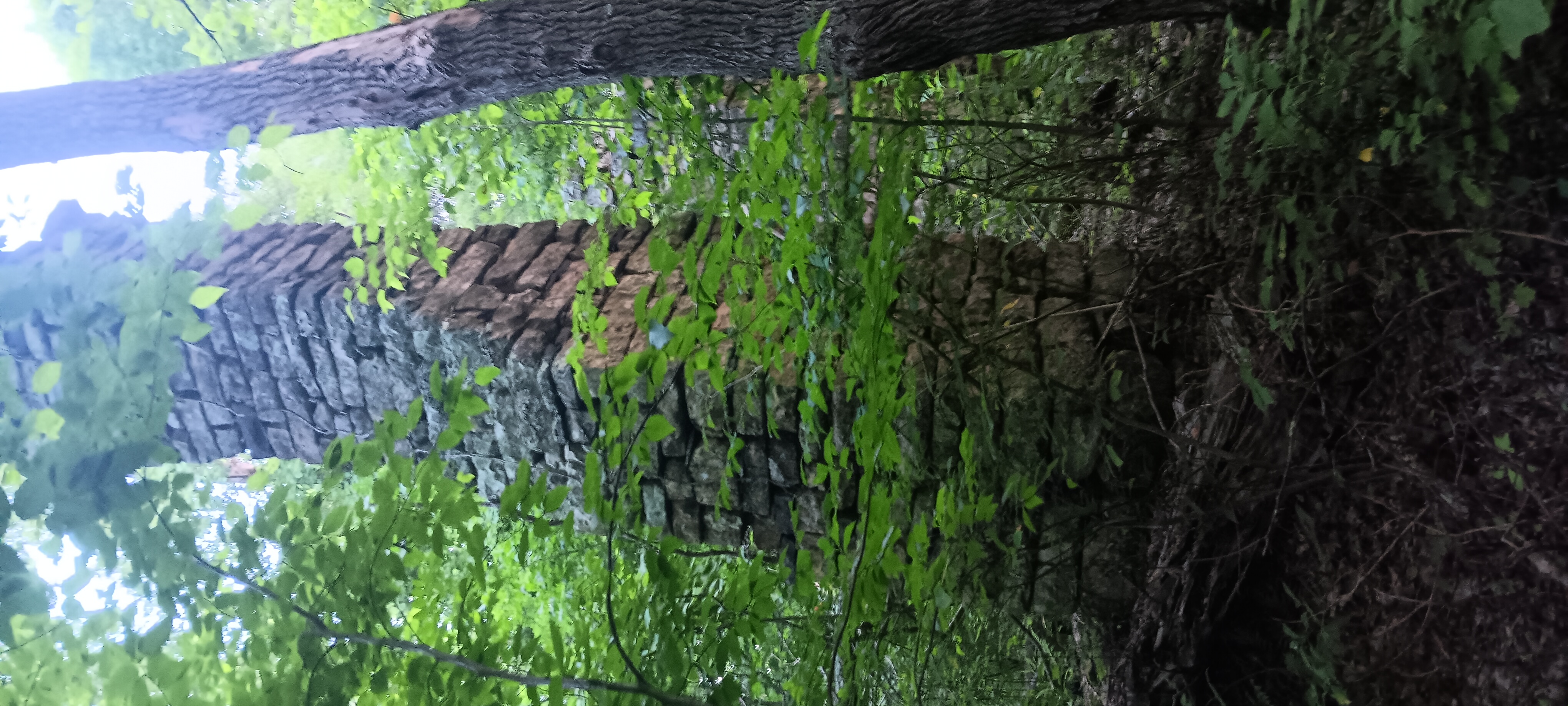
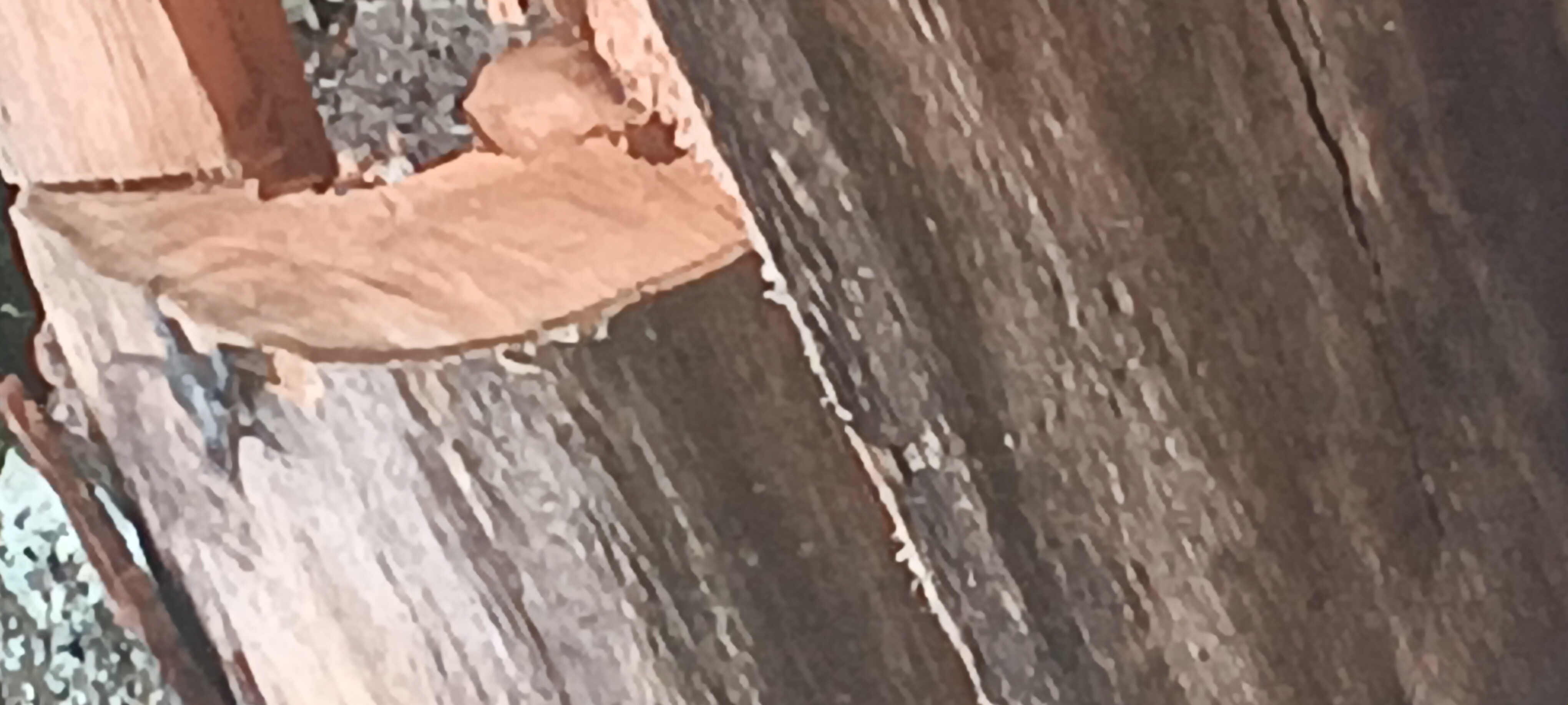
Really impressive mortarless masonry on these old chimneys.
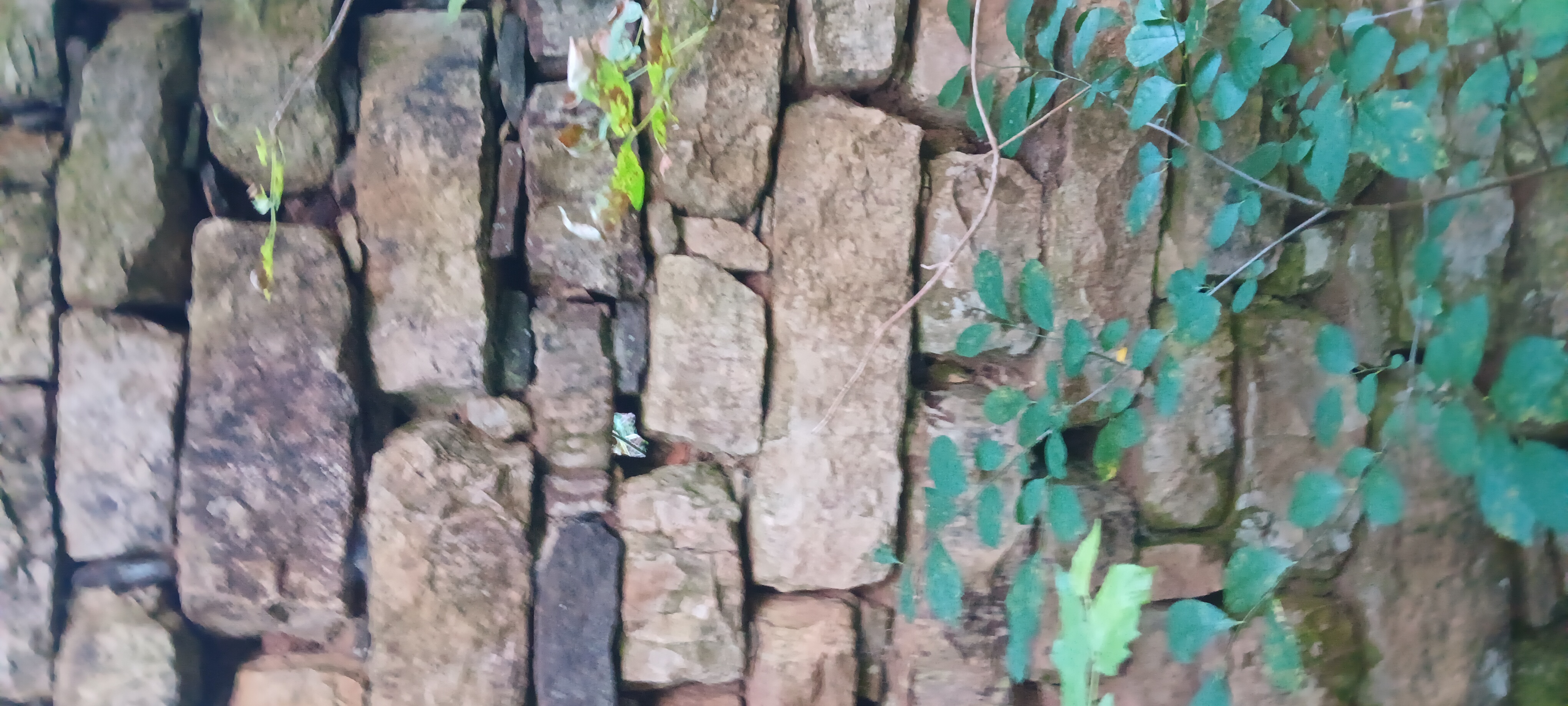
In years past I found crab apples on the ridge. Not so this time.

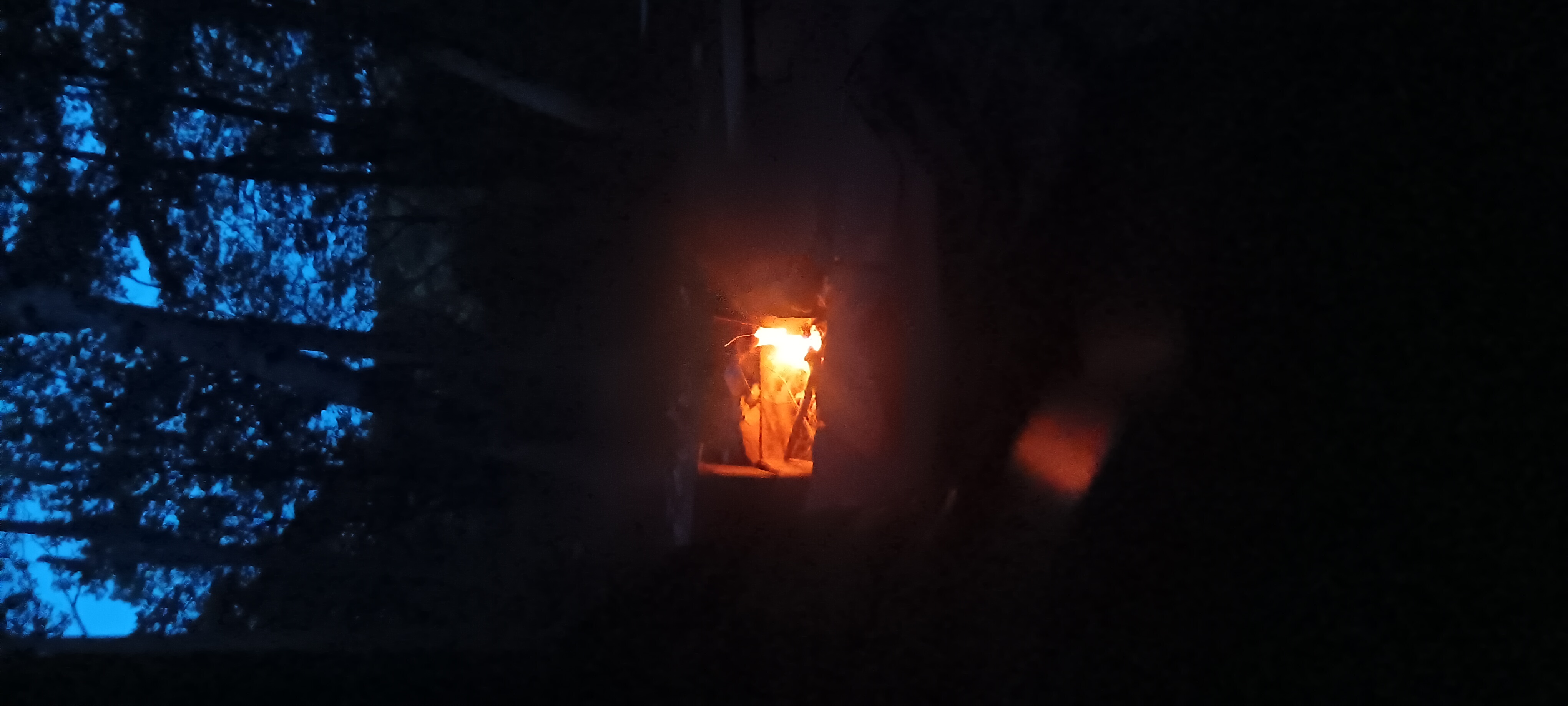
I ate supper in near darkness and made my log entry. So tired. So hurt. Tomorrow will be interesting.


Hotel Glasgowfornia

A warning to all travellers: the town of Glasgow, VA, is different. The rules of time and space work differently there. The vortex is strong and few make it out in less than 3 days.

It has everything you need in close walkable distance, and free camping with showers and electricity. You can come any time you want…

I don’t do a lot of documenting in town. Maybe that’s a weakness I need to work on. I’ve spent 7 days there this year spread over 2 visits. I even made an unlikely friend.

Stuck in a vortex

click to open gallery


Trail Log #9: John’s Spring Shelter to 620 Road Crossing Trout Creek

I had a hard time waking up this morning. Last night I smacked my eye with a branch while gathering firewood. It wasn’t comfortable, but I can still see which I’m grateful for.

I marched down to the Mcaffees knob parking area just in time for a chance encounter with Mr Freeze from 4 pines hostel. He hitched me back to the hostel where I cleaned up myself, my laundry, and the last of a breakfast fritata courtesy of Thornberry. 4 Pines has been an institution on the trail as long as I’ve been walking it.

Blue Blaze Shortcut

click to open gallery

After charging my power Bank I set out towards the Dragons Tooth, but not the normal way. I took the road walk to the Dragons Tooth parking to connect to the Appalachian Trail.

Rough terrain

click to open gallery

At the junction I stopped for a snack, knowing the terrain ahead is brutal and I may not hit a good stopping point for a while. I had a friend protect me from bugs in exchange for some salt.

After a very strenuous walk on the ridge, a rollercoaster of anklebusters, I began switchbacking down. I met a section hiker named Saunter walking to Harper’s Ferry, and a local named Bilbo Baggins who hiked the trail in 93 and traveled with a dog named Buddy.

620 camping area

click to open gallery

I walked down to the 620 trail crossing to camp and performed my nightly routine involving fire, bear hangs, and food, drying my clothes under a shade umbrella, and push-ups. I even got to eat mayapples in July and drink Dr Pepper. It’s quite remarkable what the locals have done to enhance this camping area.

Trail Magic and Bear Hang

Click to open gallery

Shortly before dark, Bilbo and Buddy came off the hill and chatted a bit about the Roosevelts and eminent domain and the possibilities that exist for a positive outcome even in a difficult situation.

Now with the fire as my companion, I finish second supper and wait for sleep to come.


Trail Blog 8 Lambert Meadow to John’s Spring

I slept really good in the Meadow. It was wonderfully cool for summer with minimal bug activity, but I got a late start due to shoe repair.

I’ve been letting the shoes go a bit, but I know the terrain in this section is very difficult and I didn’t want my shoes to fail while traversing I giant cliff face.

I possibly found the entrance to tinker caves, rumored to be 300 feet deep. I didn’t explore it though because of reasons.

I passed 2/3 of the VA triple crown, and spent some time enjoying the views with a snack at each, but I didn’t take any pics of the overlooks.

Tinker Cliffs Rocks

click to open gallery

Instead, I took notice of the Rocks, which are very large and impressive in this region. The rocks are the stars of the show today, followed by the mushrooms.

Big Mushrooms

click to open gallery

I didn’t have any huge ascents or steep climbs, but the terrain was very rocky and challenging, with lots of wierd steps to navigate all the land features.

Rough Terrain

click to open gallery

I found a message written on a rock face in 1932, or at least that’s what I saw.

I found some trail magic at the Campell Shelter. Someone left 6 pounds of oranges. I ate 4 of them.

Mcaffees knob was full of incredible rocks. Sorry not sorry I didn’t take the usual shots everyone takes.

I like to think of the huge boulders as God Blocks, like a kid playing with Legos.

There was water all over the mountain except at the lowest shelter, where I found only a tiny trickle. I think the spring has been filled in with sand and will soon disappear without maintenance. I managed some leaf manage and collected 3 liters in about 30 minutes.

I discovered a toad while gathering fire wood. It looked very healthy. We parted ways on good terms.

There are bear boxes at most of the camp sites in this area, and signage to go with them. I find it ironic that none of the bear boxes are placed the recommended 200 feet from shelters or camping.

Almost put my eye out.

click to open gallery

Late at night while gathering firewood I smacked myself in the eye hard enough to make me nauseous.


Trail Blog 7: Troutville to Lambert Meadow

This was a super nice hike for me: very cruisey with no steep ascents.

I found what looked to be a sinkhole forming between Daleville and Troutville and possibly learned something new about bears.

At the ridge I got to visit Hay Rock and get a nice view of a lake. I don’t know the name of the lake.

Hay Rock & Lake

click to open gallery

I was puzzled by the bridge over Tinker Creek. It seemed such a large complex bridge for being without a road.

Tinker Bridge

Click to open gallery

Lamberts Meadow is a beautiful valley with many developed camp sites. The valley faces south to catch the sun. A creek runs through it. However, many sad  trees are there, sick and dying.

I found myself wondering, as I often do when faced with these names, what the inhabitants of this land called it before Lambert drove them out.

At the end of the day I burned one to honor the passing of Ozzy Osbourne.


Trail blog #6 Troutville Restock

My day of rest in troutville wasn’t very restful, even though I had a “zero day.”

The mosquitoes were far too bad and the grocery and hot food places were all far, far away down dangerous roads with no sidewalks nor shoulders. It was an exercise in managing anxiety for sure: push it down and complete the mission.

Troutville has some of the best infrastructure available for travellers, with hot water, electricity, and free camping.

However, it’s poorly executed: the location has none of the town amenities that people need on a journey. Most people will walk, shuttle, or hitch to Daleville, meaning that Troutville foots the bill while Daleville makes the money.

I picked up my grocery resupply, ate many sandwiches, and battled mosquitoes nonstop. I picked up a case of trench foot doing long road walks on wet grass. I got a new outfit at goodwill.

I couldn’t find laundry anywhere in town, so I used the wash sink. This is what the sink looked like after washing 1 set of shorts and 1 set of socks.

That is all.


Trail Blog #5: Wilson Creek to Troutville

Trail blog 5: Cornelius Creek to Troutville.

My phone was dead here so no pics nor vids on this post. Sorry.

It was about a ten mile walk into Troutville. It was mostly cruise with one big up to get to Fullhardt knob.

When I got to the shelter there were 3 tents set up inside with everyone still asleep. Or pretending to be. I wasn’t able to access the shelter or sign the log.

There was a guy named Ralph who I shared some conversation with. We talked about religion and objective faith. Ralph seemed a bit dismayed at my flexibility of belief, perhaps not understanding it is brought about through uncertainty. Ralph seemed very certain and barely able to concede the possibility of error.

After I made it to the road I took a mile walk to the free camping at the town park.

Normally free camping is a great idea, but I realized soon after I got there it wouldn’t be all rainbows and bubble gum.

The mosquitoes are really really bad. I can’t say this enough. The whole time I was in troutville I was fully clothed with long sleeves and pants. I also liberally applied deet. Everything was ineffective. I received 100s of bites during my stay and I’m pretty sure I’ve exchanged vital fluids via mosquito with every person and squirrel that visited the park.

The other issue, especially arriving on Sunday was that there are no stores near the camping area. If you want to spend any money or acuire any goods you have to walk 2-3 miles each way. There are no sidewalks, no shoulders,and no shade on troutville roads. There is lots of long grass to tromp through and I acquired a minor case of trench foot from walking through wet grass for miles during my stay.

But free is free and I got what I paid for.

I did manage to eat 4 burgers.That was probably the highlight of my day. I picked up some flowers and did some washing of clothes  that never actually dried. Then sleep.


Trail Blog #4 Cove Mountain to Wilson Creek

I started out the day at Cove Mountain shelter and got a medium early start. I stopped briefly to enjoy an unmarked overlook.

From Cove Mtn

click to open gallery

It was hot even early, though the terrain was mild mostly following the blue ridge parkway. I stopped for a moment at the memorable named Purgatory Mountain, the Peaks of Otter, and other signage.

Blue Ridge Signs

click to open gallery

The construction on the parkway had a section closed which was nice for game. I spotted many turkey vultures, several deer, and my first ever bobcat sighting.

The mama darted across the road and the kitten went up a tree. While it was treed I managed to snag a pic, though of questionable quality given the rain and my phone cam. I noted it’s young paws were very oversized and it wore a nice set of chops on its cheeks.

I stopped for lunch at Boblets Gap shelter before pushing on to Wilson Creek, which was when the rain started.

Another traveller by the name of Bear Quota was occupying the shelter, which was a nice treat given that I’ve been camping alone for more than a week.

After eating I was having a smoke and managed to snag another low quality Pic in the rain, this time of an elusive owl.

I found a full ass phone in the shelter, which I will bring with me to troutville in hopes of finding its home.

I left it at the Beech Hill hostel.

Hoping the rain will move out by tomorrow morning since I’m nearly out of food and can’t afford to lurk here and wait it out.


Daily Trail #3: Cornelius Creek to Cove Mountain

Today started out with a few dozen bees buzzing around my things at 6am. They were friendly and didn’t sting me. They probably just wanted my salt that I’ve left deposited on every piece of gear.

After quick breakfast I left out in a hurry to try and beat the heat. There is a drastic difference in heat between 4000 and 1000 feet of elevation.

Lizard Friend

Click to open gallery

While the day was mostly uneventful, I did encounter a very handsome lizard friend and talked to some sad oaks.

It seems the blight isn’t just for chestnuts anymore.

I stopped at Jennings Creek to cool off before going up to Cove Mountain.

Jennings Creek

Click to Open Gallery

There is no water source here but a storm kicked up and I collected about 2 liters.

The storm didn’t dampen my spirits nor hinder my fire starting abilities.

I even made a super sexy bear hang.

I ate supper, made a log entry, and am now lounging and feeling very full of myself for thriving and defying the elenents in an inhospitable area with the odds stacked against me.

Like Alex Supertramp said, the only thing missing is someone to share it with. Without someone to talk to I sometimes make bold statements over a fire.


Trail Blog #2 Marble Springs to Cornelius Creek

I didn’t sleep well last night. The super friendly deer never left my side, snuffling and making noise in proximity of my tent. Even when I clapped and yelled and threw rocks, they just didn’t want to get the message.

Deer Lurkers

Click to open Gallery

After a quick breakfast of pop tarts and peanut butter, I made my way up High Cock knob. The ascent was nicely graded. The summit had no view but was loaded with nearly every kind of edible and medicinal plant I could identify: plantain, jewel weed, nettles, cat mint, cow poke, mullein, and more. It seems the knob is recovering from a fire very well.

High Cock Knob

click to open gallery

I then made my way down to petite gap for a repeat of breakfast. Instead of taking the trail I hopped on the blue ridge parkway.i normally don’t like road walks but it was still early and cool enough. On the way I found terrapin mountain, not to be confused with turtle island.

Terrapin Mountain

Click to open Gallery

I hopped back on the white blaze at Thunder Ridge overlook, and for the first time got to see it with no fog or rain in the way.

Thunder ridge shelter had me a nice lunch and found some baby salamanders in the spring before heading down another 5 or 6 miles to Cornelius Creek shelter.

Lunch at Thunder Ridge

Click to open Gallery

On the way I found some insects doing what they do best.

I passed through the Guillotine on the way to Apple Orchard Mountain and a giant dome.

I didn’t take the blue blaze to the falls this time.

Apple Orchard Dome

click to open gallery

The flies and skeeters aren’t bad here but the bees are very curious and persistent, even with a smokey fire blowing in the shelter.

Supper was had. Now I wait for dark, alone again, except for the bees and the breeze.