Working for an individual twice my age (in my 40s) means that death is a constant companion and the infirmities of existence are omnipresent.
Moments of solitude in which I can simply exist without external pressures are still very necessary and appreciated.
While around civilization and not performing any epic travels, I decided to blog about simpler things: like packing up camp.
This video was shot with a new camera and edited with new software, and demonstrates the packing procedure start to finish.
I also did some experimenting with live streams. I was able to successfully stream for 48 seconds. Nothing exciting was recorded. I didn’t have anything planned because I didn’t expect it to work.
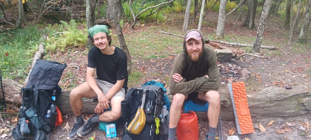
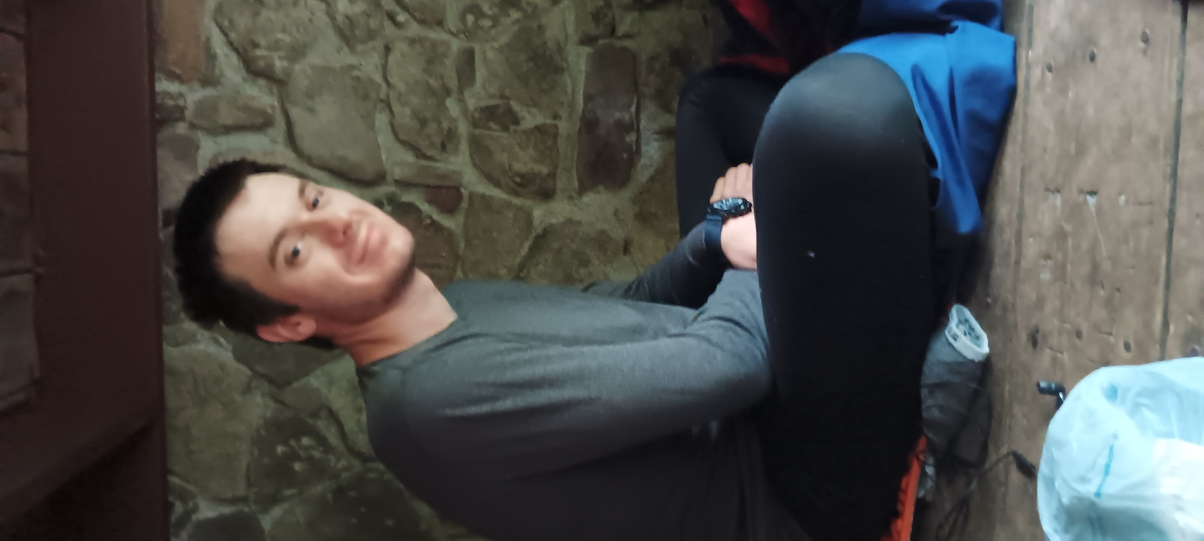
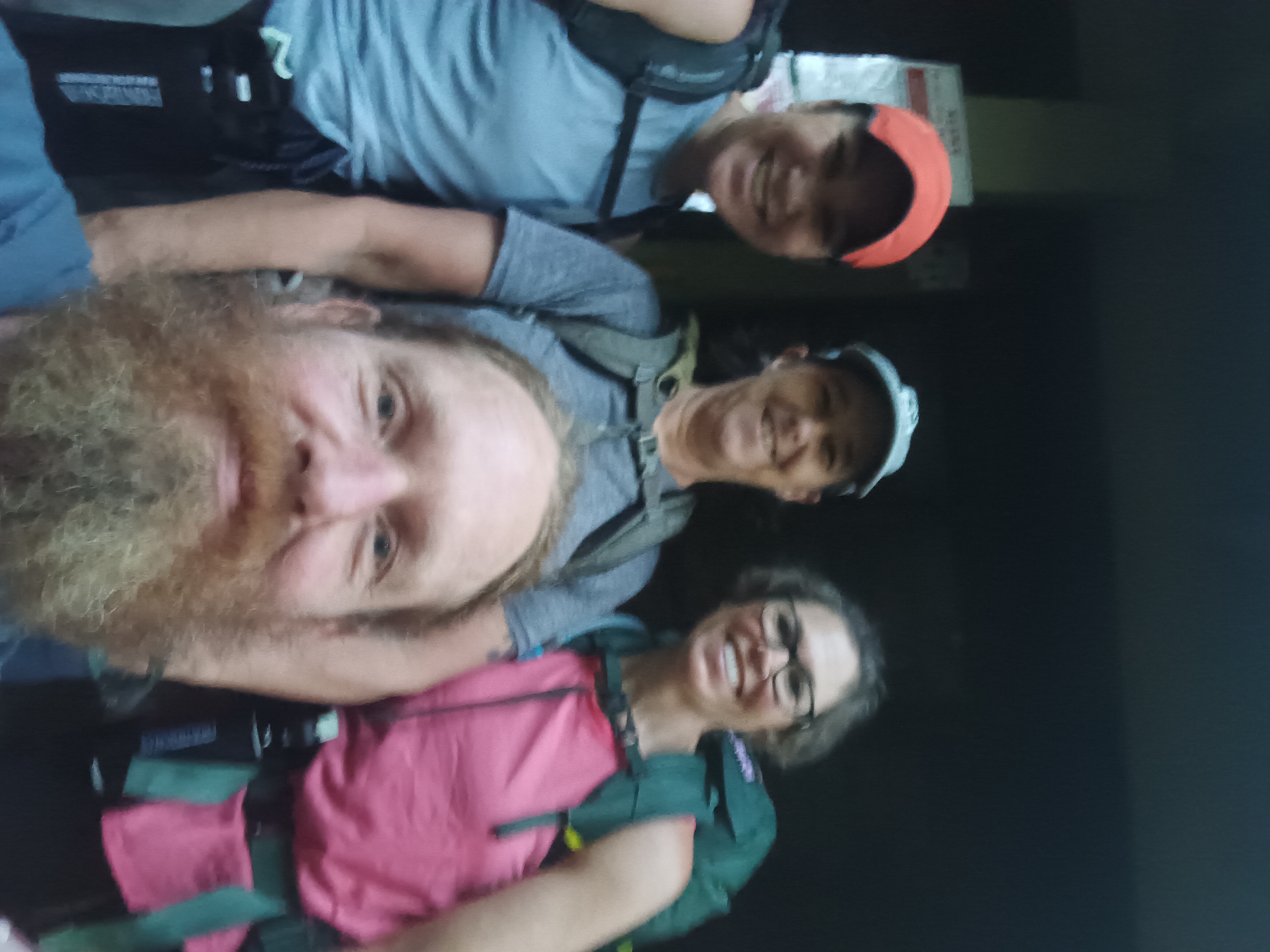
I shared a lunch recently with 2 southbounders: Stinky on the right and Turd on the left. Not true to their names they seemed like fairly regular humans. Stinky from Texas and Turd from Northern Virginia, both of them seemed fairly weathered and ready to complete their journey.
Last week I met a weary traveler by the name of Wonder Woman who insisted I had superpowers. Naturally, this irony amused me.
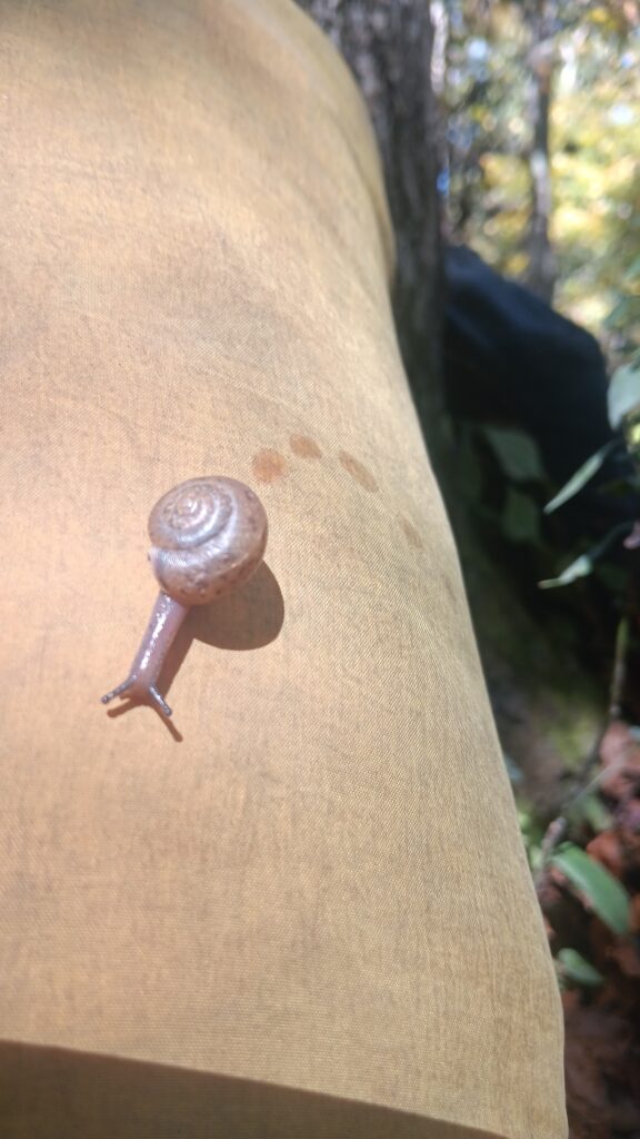
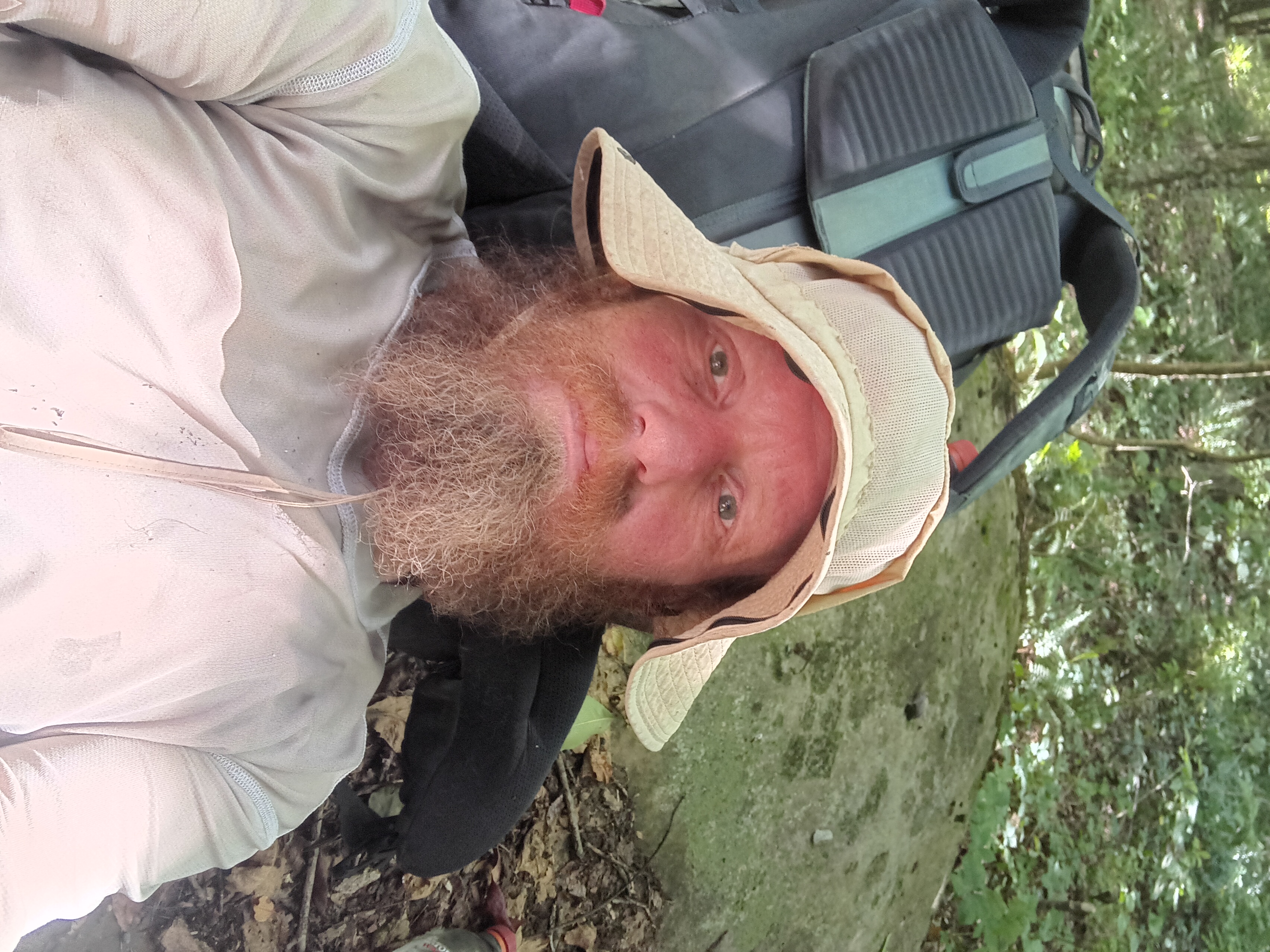
Non Candid Photo
If any sufficiently advanced technology is perceived as magic, I reckon the same holds true in other constructs: once removed far enough from the objective perspective any subject seems magical.
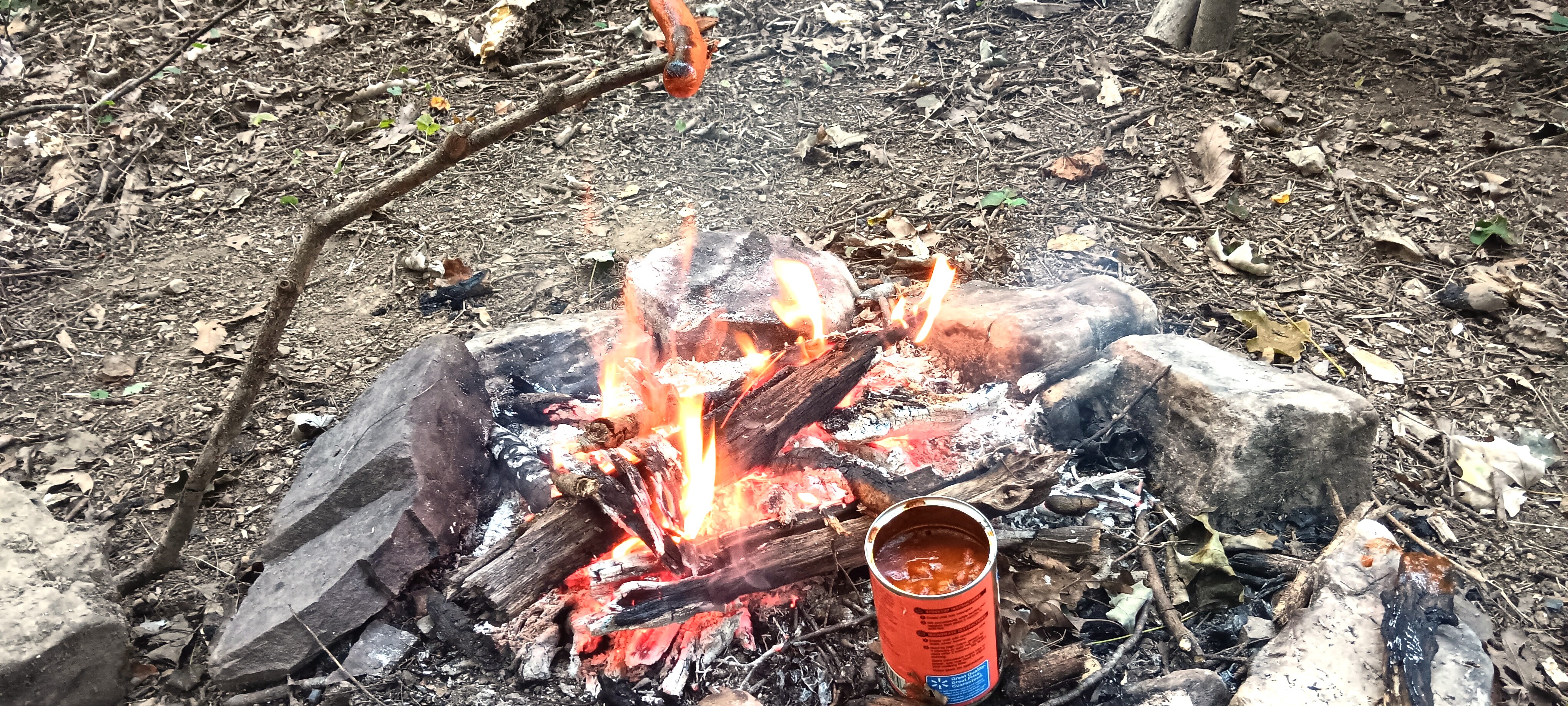
No special abilities needed
No superpowers were required for cooking chili dogs over a fire on a mountain top. Nor are there any requirements for opportunistic scavenging. Just ask the bear.
The Holy Family Hostel is one of the oldest on the trail that is still in operation. It has a full kitchen, shower, washing machine, sleeps 12- 18, and is within walking distance to wal mart.
Recommended donation is still just $10.
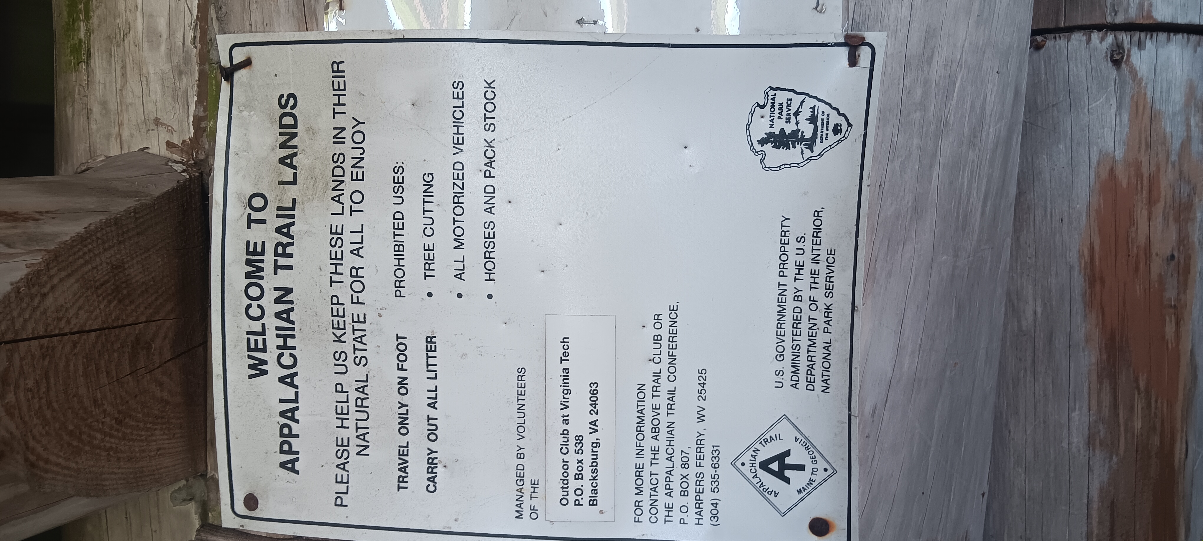
The barn was given new purpose in 1977 and continues to this day in 2025, nearly 50 years.
The church property has some of the biggest and beautiful trees in the area.
Gazebo with outdoor grill
Holy Family Hostel
A walking trail to grocery and restaurants
Not very good photography
No TV
Many big beautiful trees on the land.
Barn Hostel faces east.
Kitchen
Church graveyard
Covered porch
Kitchen 2
It’s currently managed by caretaker Twig, who has been there during the season since 2015 after LASHing from Georgia to Virginia. Twig is an avid bicyclist and snowbird who spends the colder months down south. Twig also had a cameo in the movie “A Walk in the Woods”
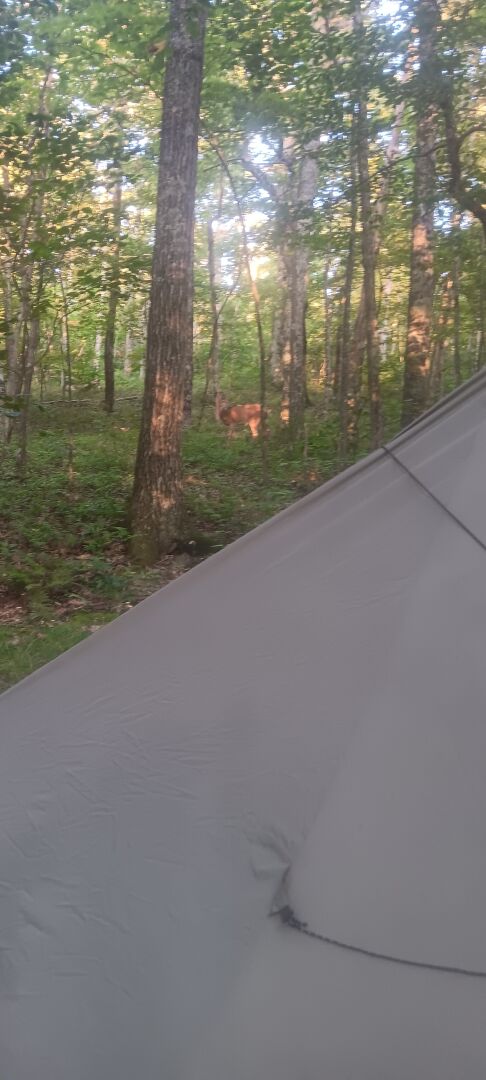
I slept good on top of Pearis Mountain, and decided to take an impromptu day off.
I had a late breakfast followed by a visit from a very friendly doe.
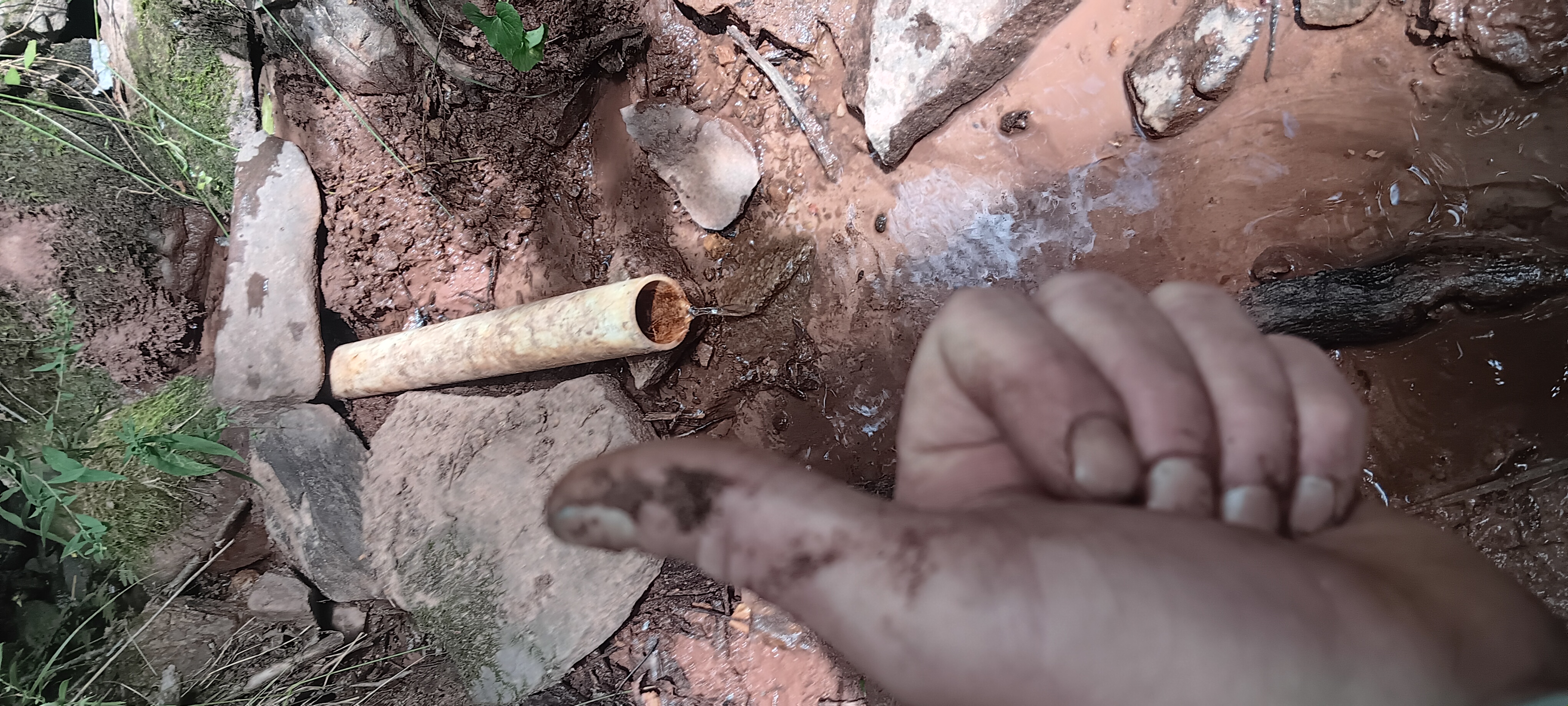
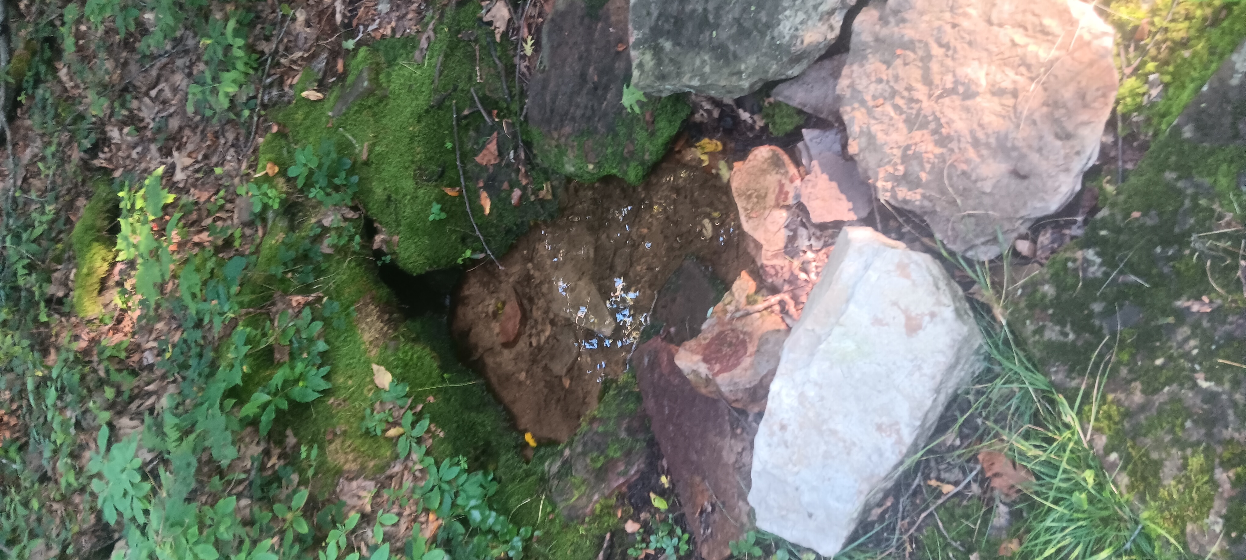
This site has some of the best water on the trail, an artesian spring that I’ve never seen dry at the top of the hill, and pours cold water even on the hottest days of summer.
I found a tree to make a decent bear hang. Not my best work but it fits the recommended specifications.
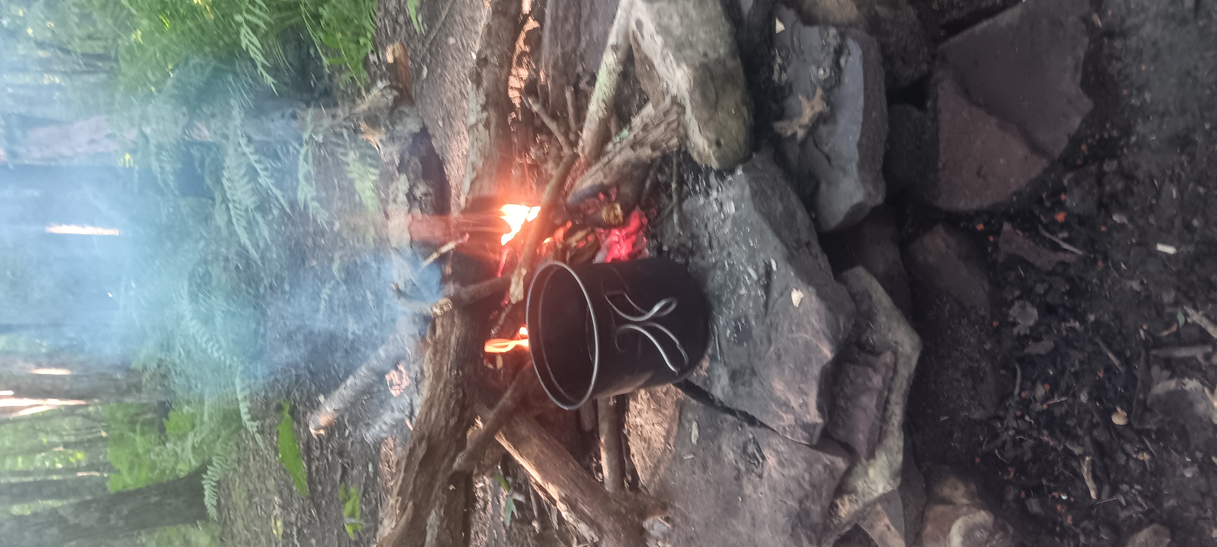
I cooked dinner in the evening over a fire: always a good time
I don’t have any pics or videos for this segment, phone battery was too limited.
I barely slept at Rice fields. I was being eaten alive by bugs and very deep into my thoughts and feelings.
At about 1am I noticed something very strange in the night sky: what appeared to by a vortex and many unknown lights disappearing into it.
Looking at the big dipper (ursa major), if you imagine 2 extra dippers extending outward, that was about where the vortex was.
The lights appeared to wink into existence at around the first imaginary dipper, then wink out at the edge of the second. This occurred about every 2 minutes for over an hour. For the record, I wasn’t on any drugs.
I slept fitfully and completed maybe one REM cycle.
In the morning I packed up hastily, ate my oatmeal and at about 7am went down the hill.
This section of trail is very nice once you get down past the rocks part near the summit. It’s gentle and not very steep, even if it is long.
I got to the road crossing at Pocahontas road and used my last bit of battery to call my friend Jerry in Pearisburg, who can use some help with property maintenance and will let me fill my pockets for the upcoming Journey.
For the near future I won’t be on the trail. I’ll be doing what I call a sidequest in and around Pearisburg.
I got a nice early start again after a night of rotisserie sleeping (rolling side to side). I don’t have much battery for video but I snagged some pics.
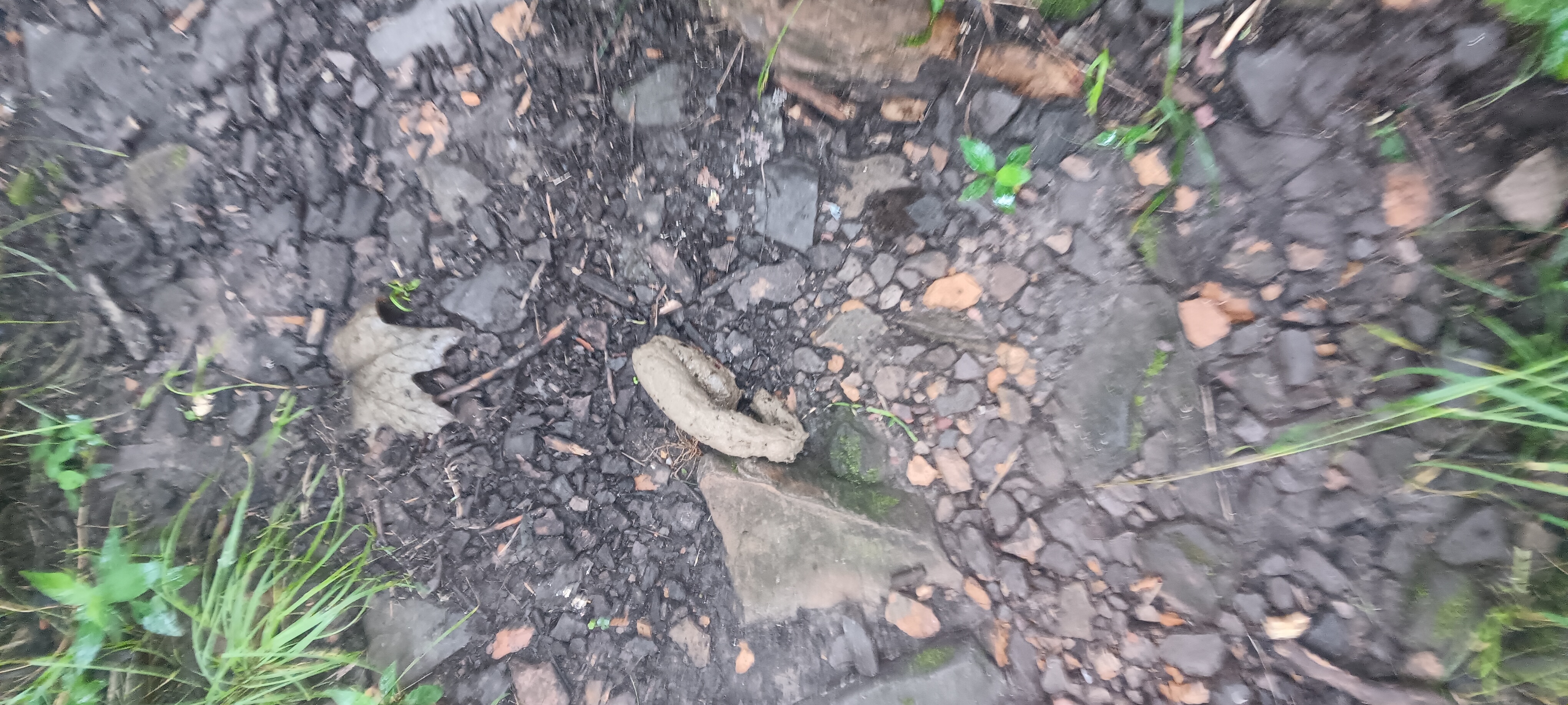
The day started out nice with a gentle switchbacked trail up Peter’s Mountain. I found a turd in the middle of the trail.
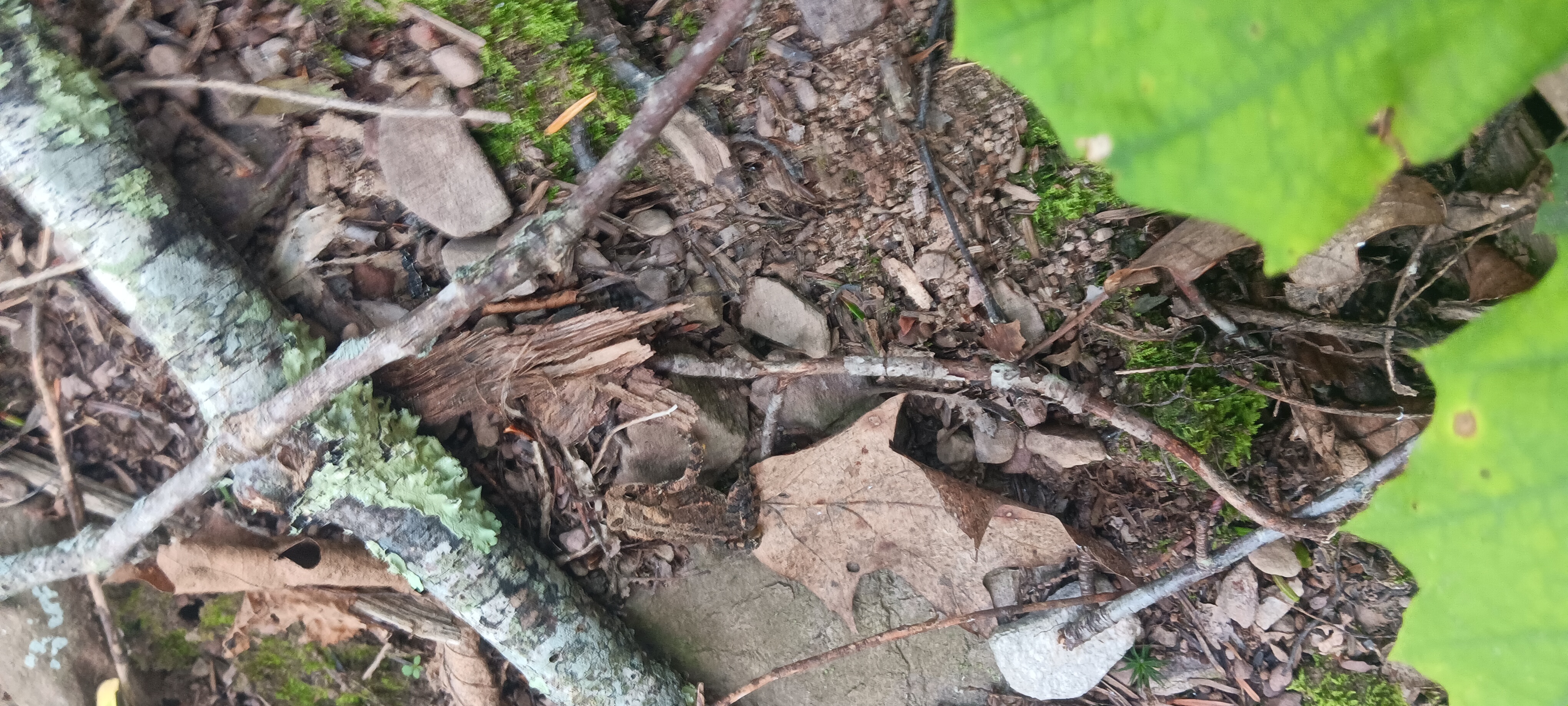
A horse fly followed me again halfway up the hill. It was warm but not too hot. I found a newt thing but not the usual bright orange kind. It was shy trying to hide under leaves.
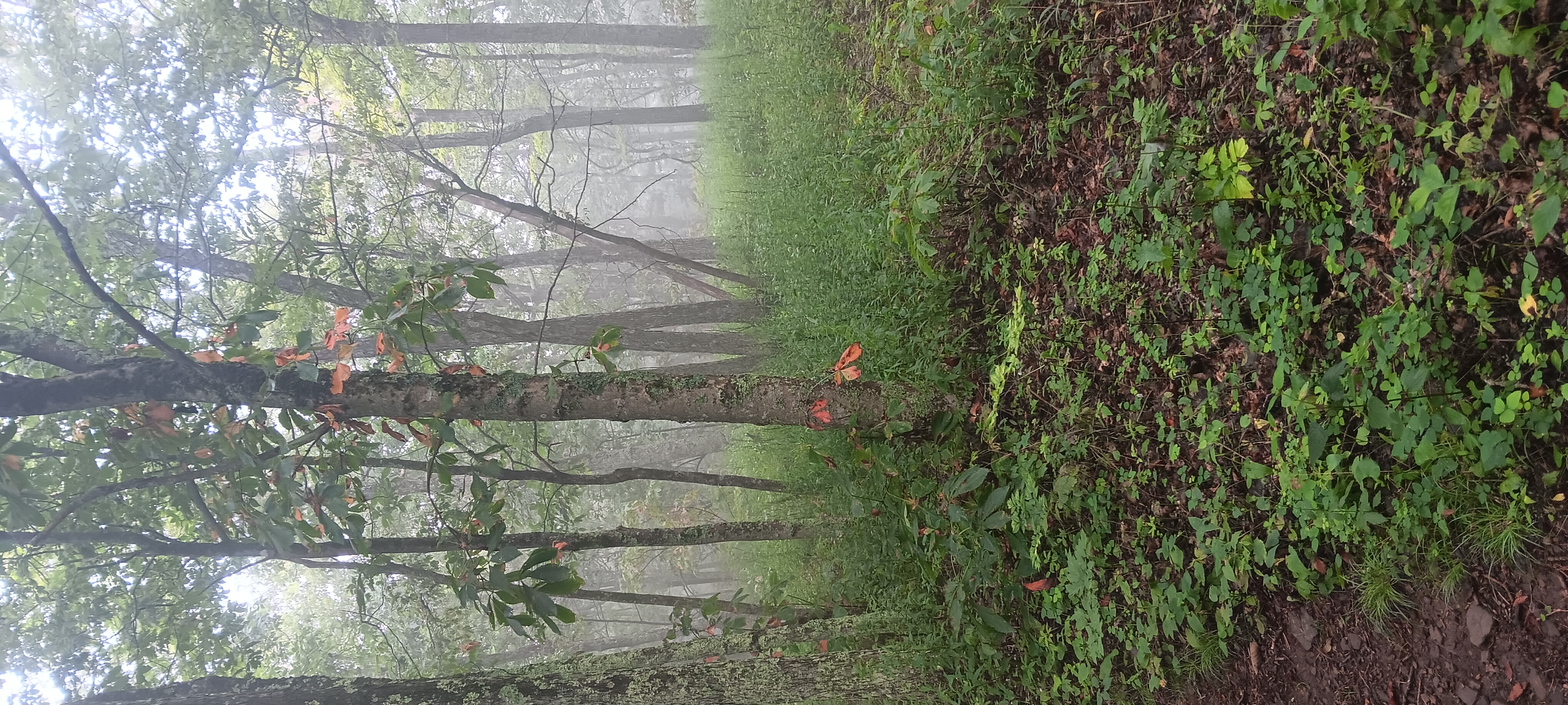
At the top of the hill a front moved in, and it was chilly and damp and full of fog at the top of the hill.
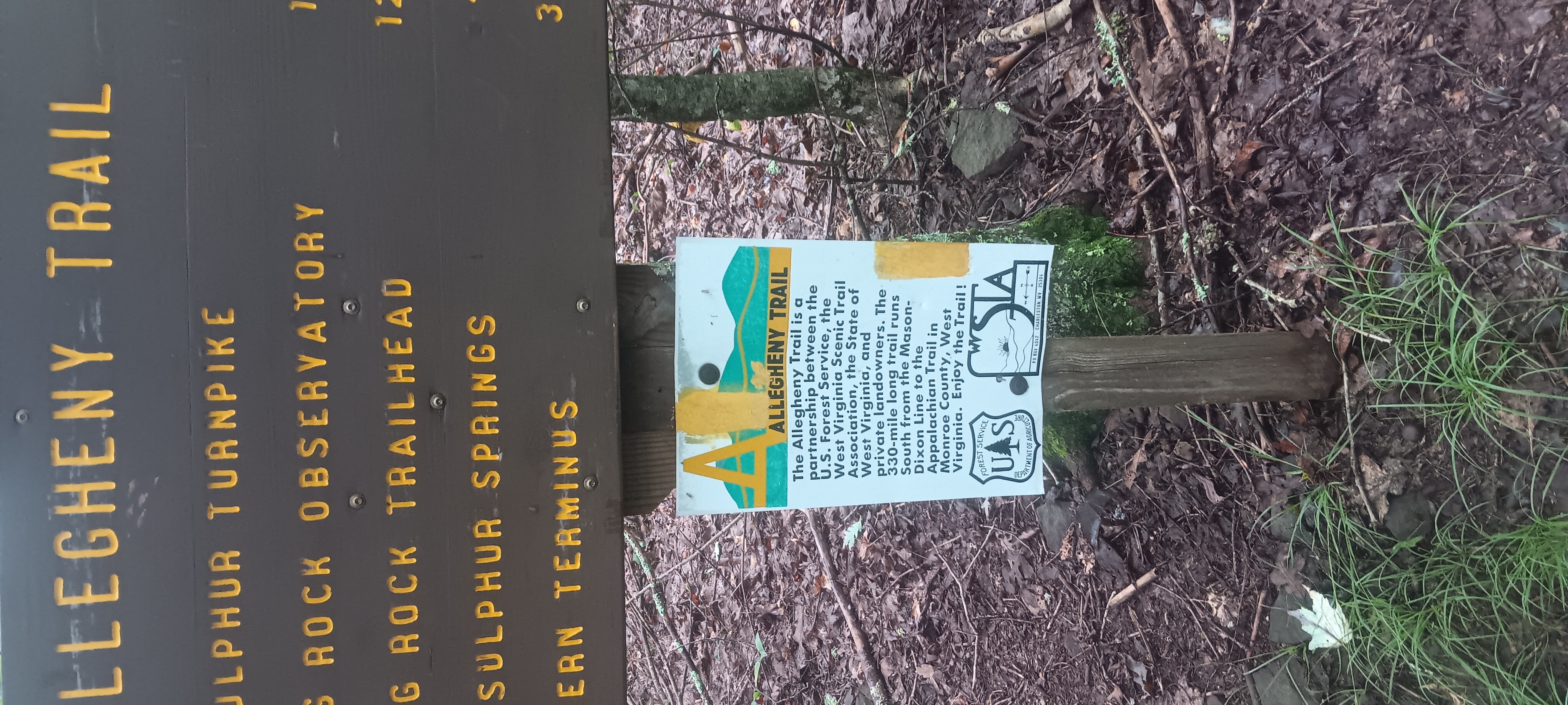
I found the Allegheny Trail. Bookmarked for later.
The mountain forest had a spooky look with so many buckeyes eaten up by something.
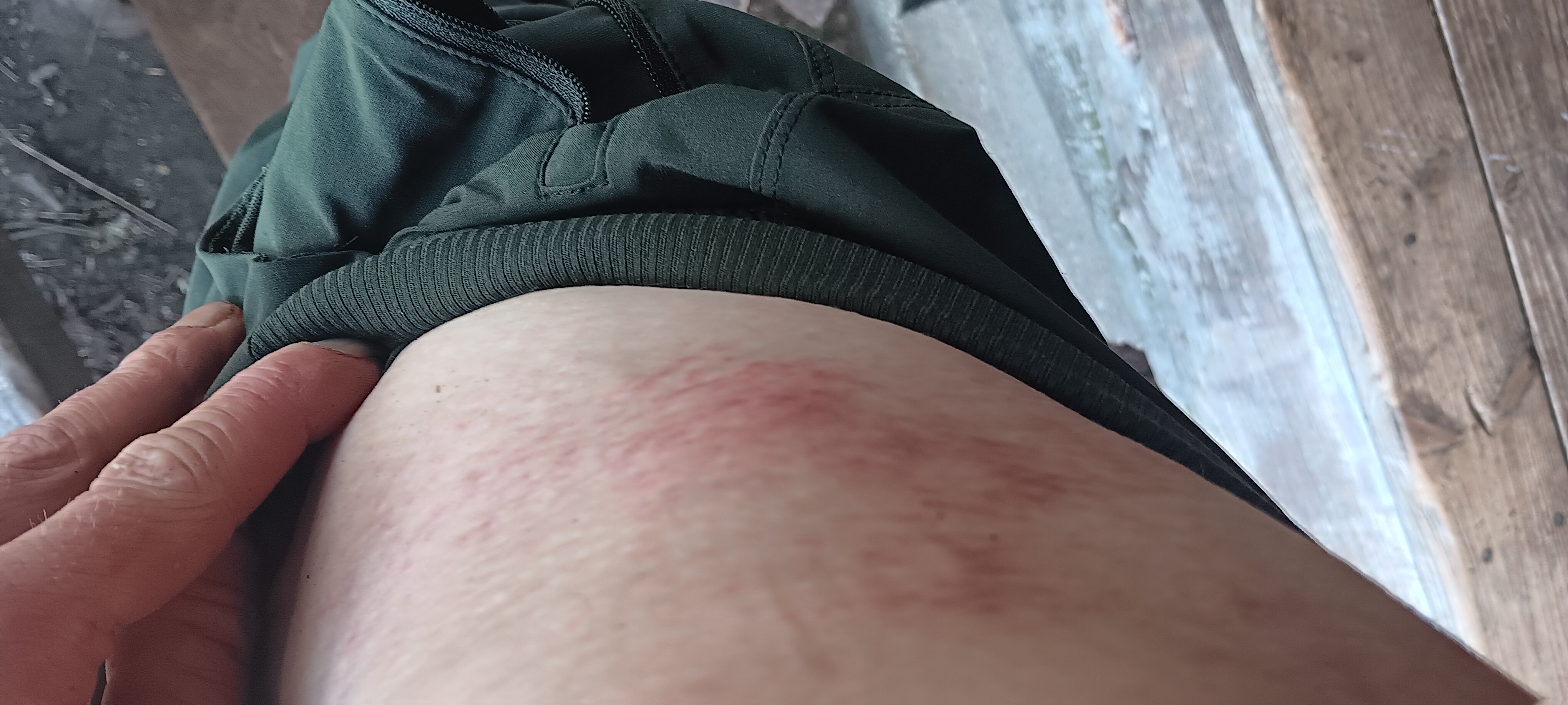
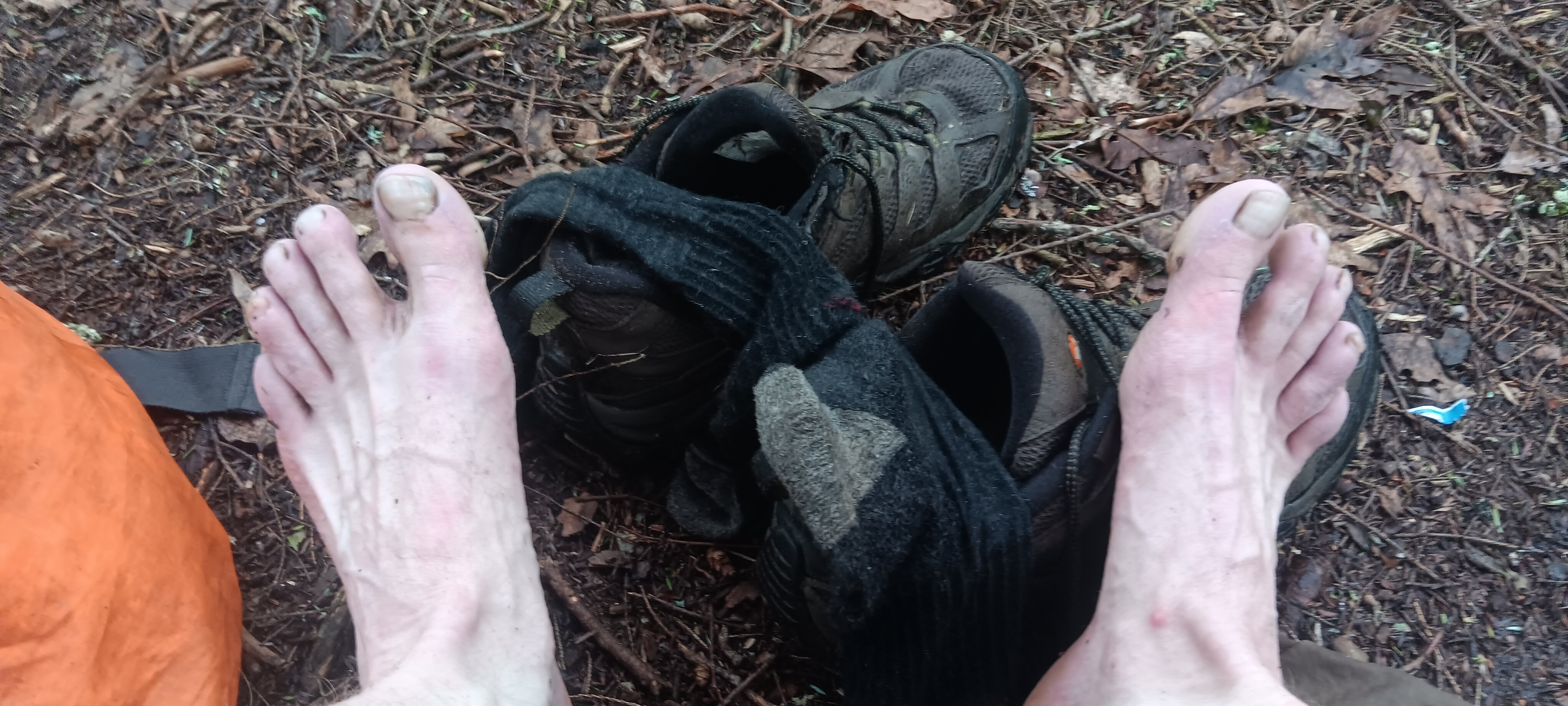
The weather system in this area has been mostly the same since Catawba: very hot for a couple hours, then a big rain, followed by very hot. My shoes are still wet at the time of this writing and my feet are saying uncle, and my pack rash continues to irritate.
The failings of my body presented the primary challenges of the day while the terrain was favorable: how to get to town without running out of food and without worsening these conditions? I don’t know, I just pushed through.
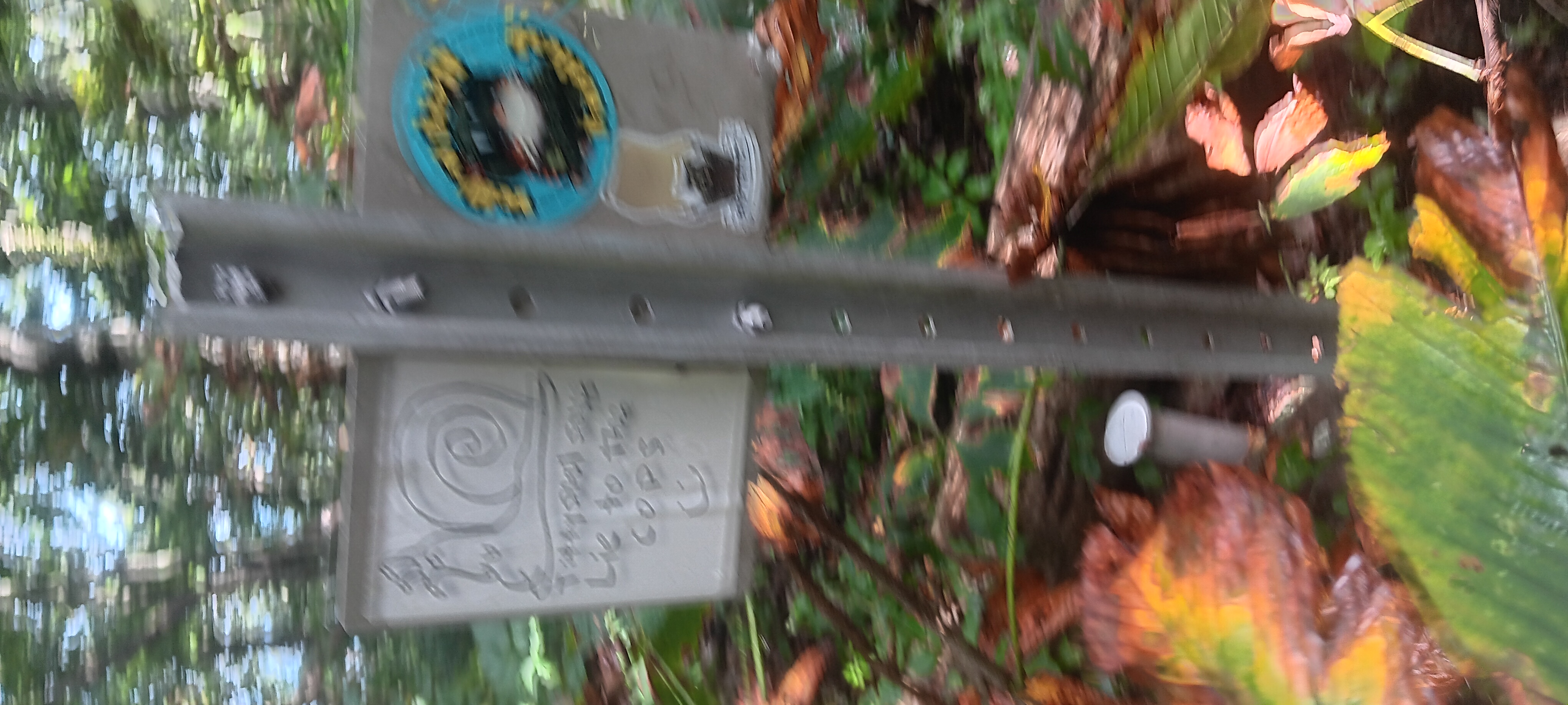
I found some interesting graffiti.
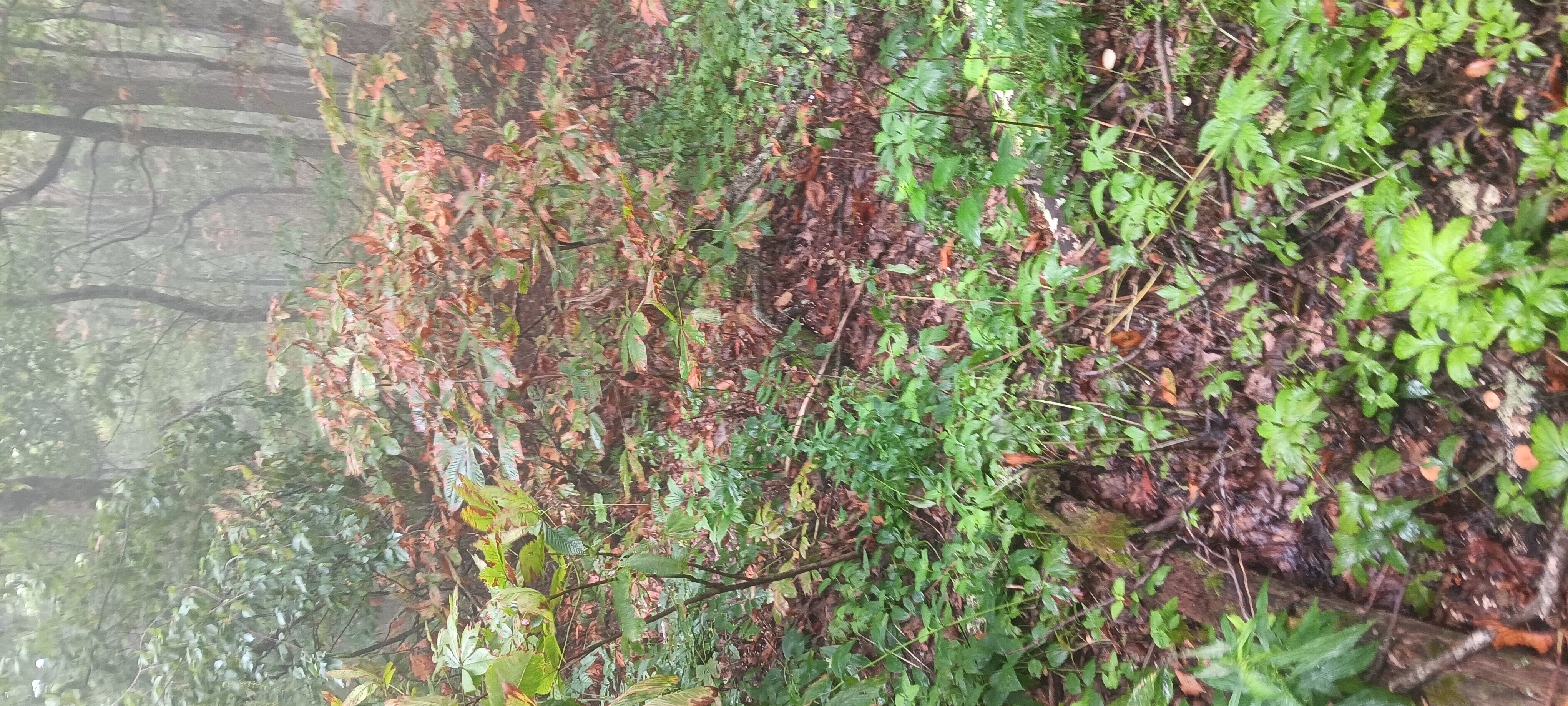
There were a few rocky parts and some overgrown briars and thorns, but not enough to make me forget that my boots haven’t been dry in days. The sexy rocks though…
I fell over a few rocks which were slippery with fog.
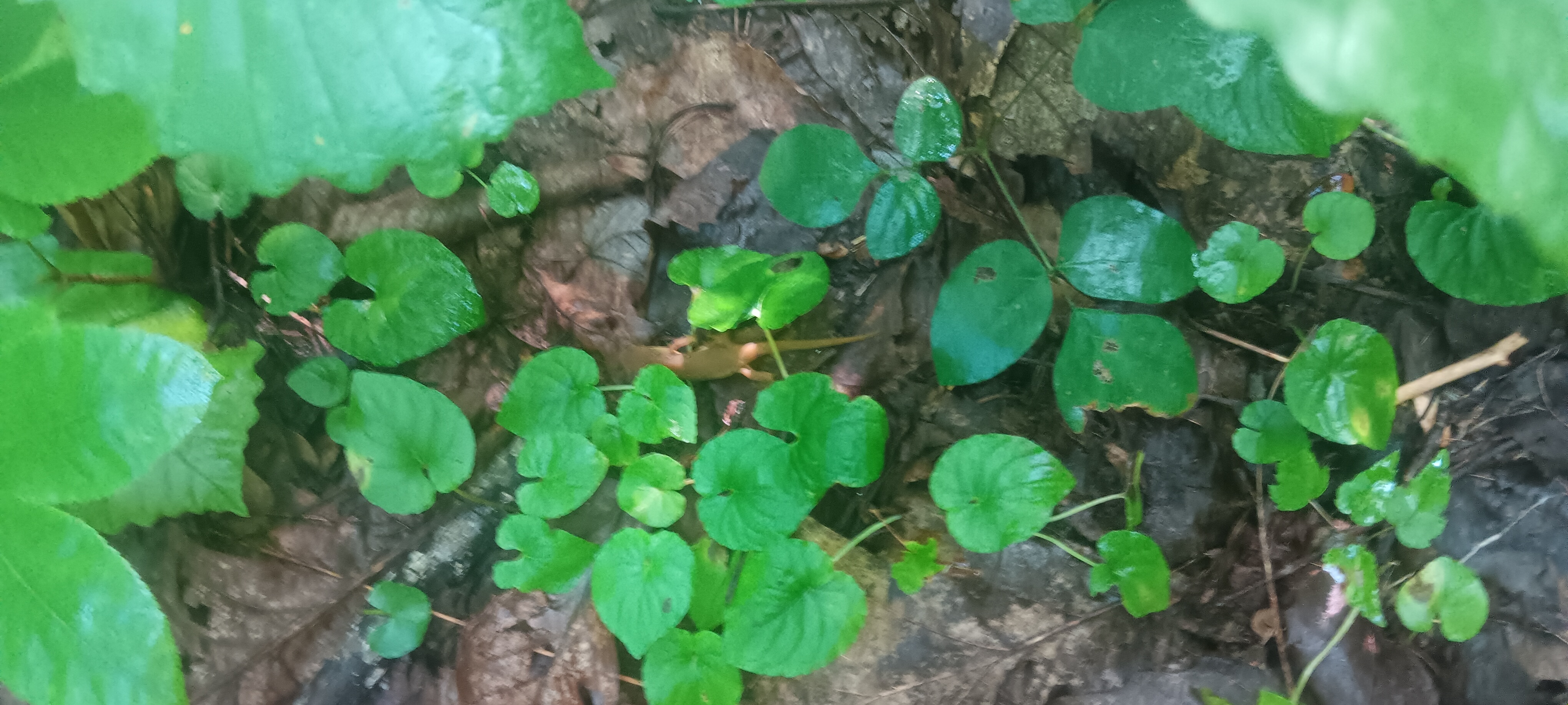
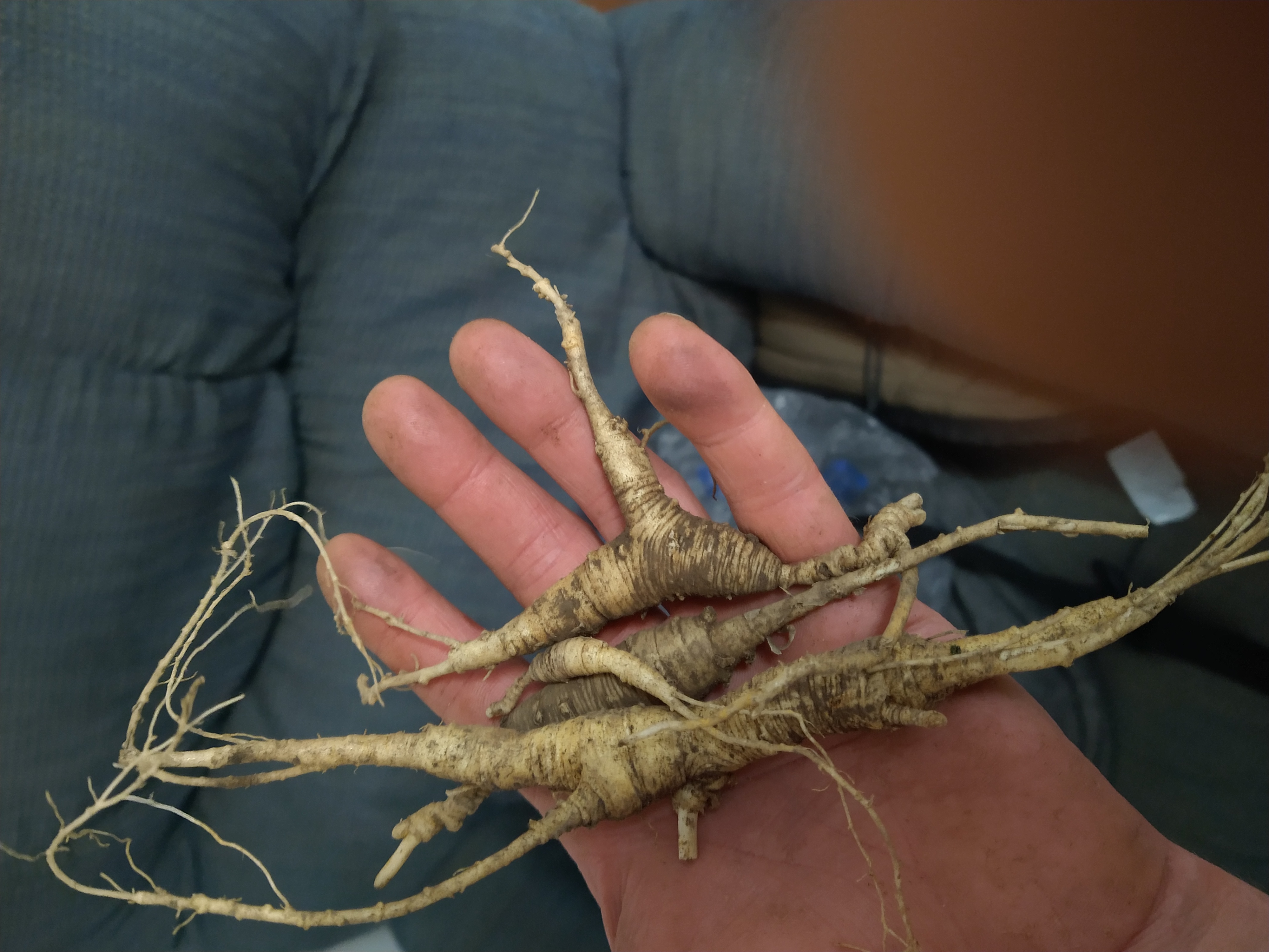
Many edible and medicinal plants grow here. I even found ginseng here a few years back.
Upon reaching rice fields I took advantage of some sunshine to string up a line for drying gear. A storm front looks to be moving this way so I don’t know how much time I’ll have or if I’ll be dry tomorrow.
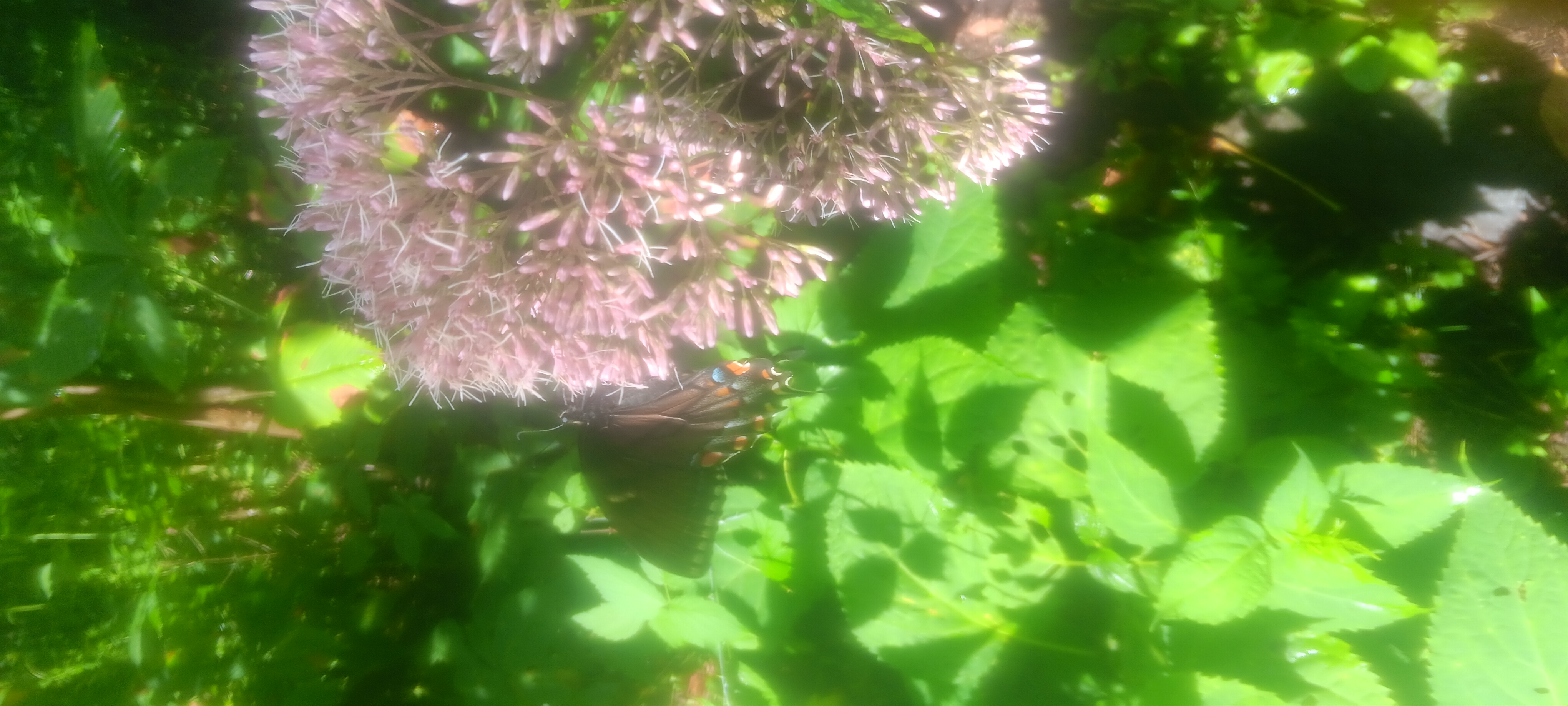
I haven’t seen any people today but I did meet a butterfly friend.
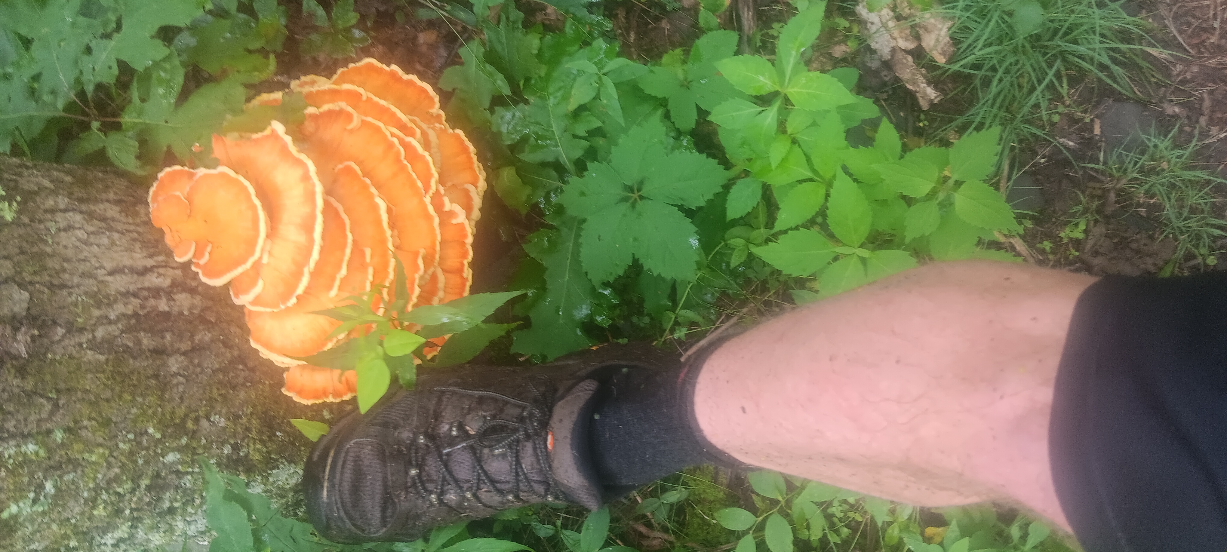
I found some big mushrooms but no way to carry then properly. Looks very tasty. Size 12 boot for comparison.
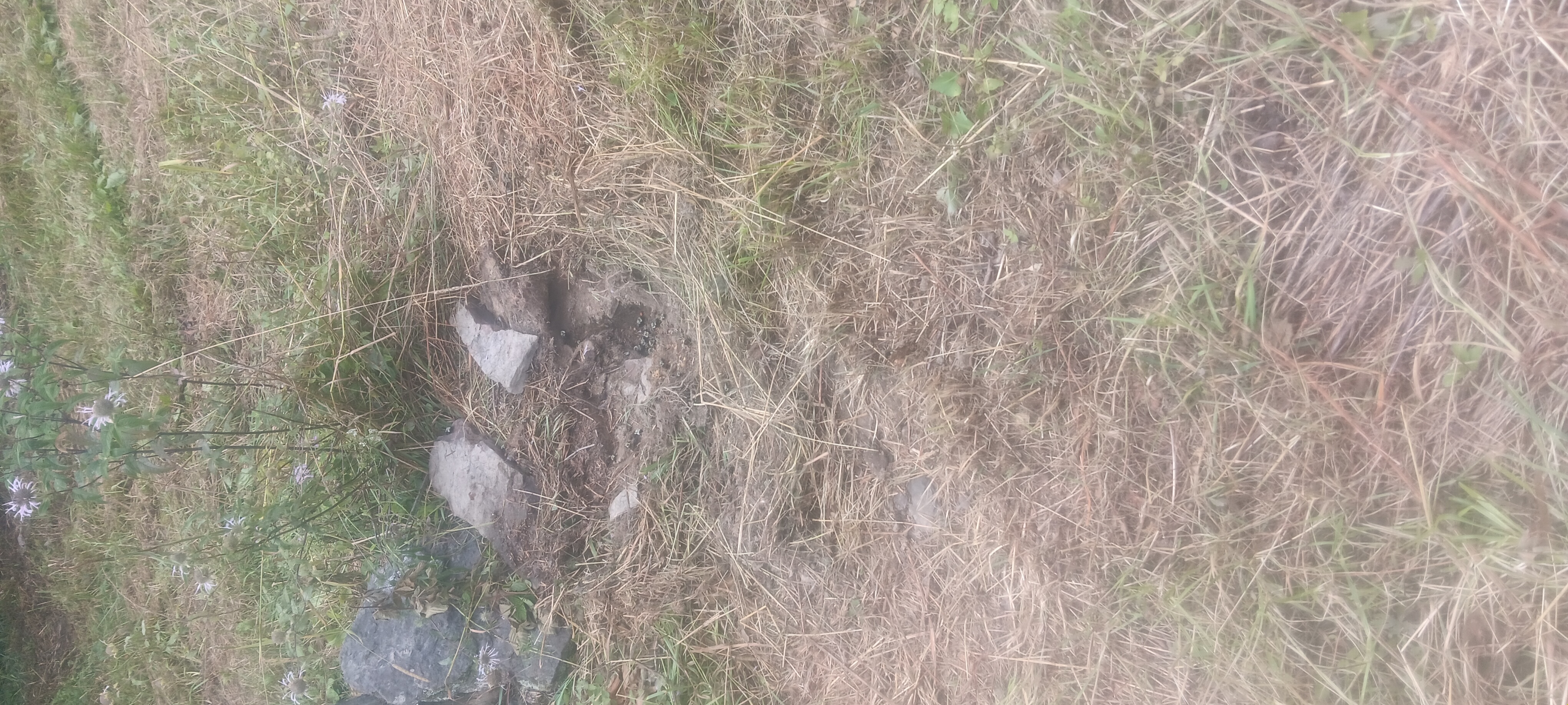
Someone brought a tractor or a bush hog up here and mowed some pasture, also running over a few blazed sign posts that are important for navigation. And tore up a ground bee nest.
I’m pretty sure trail maintenance did it even though that isn’t allowed here. I liked it better when wild goats maintained this section. I don’t like it when authorities use power to break the rules they made. Respect -10.
I got a good early start today with some help from my shelter mates waking up early. I was the last one to leave camp at 7am.
It was still hot, and the air heavy and filled with moisture, leaving barely any room for air in each breath.
After the first big uphill the sky got cloudy and there was a chilly breeze at the top of the hill. On the way I found deer sign.
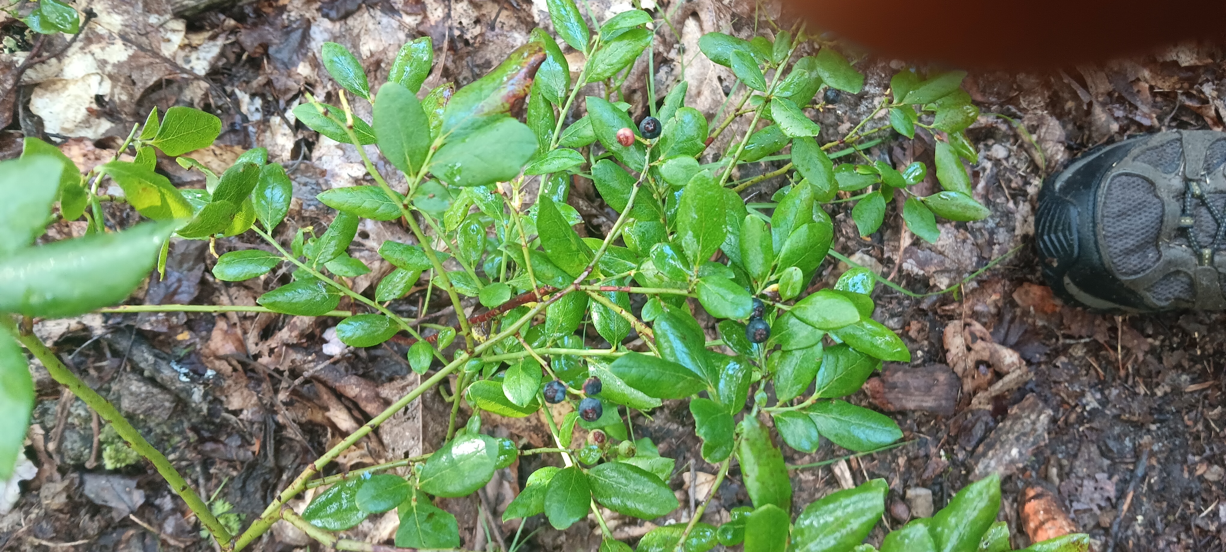
I was slightly annoyed at having so many miles between any sort of camp site or opening to sit and rest and snack, moreso because my shoes were still saturated from yesterday. I was so hungry and uncomfortable and the terrain at the top of the hill seemed perfect for camping, but no sites appeared for miles. The bears have been lazy in this area and I did treat myself to some leftover blueberries.
When I finally found a spot, thunder cranked up and a quick heavy and short rain ensued.
Wet shoes went back on and I trudged down a bit of very rocky very slippery terrain.
I fell at least twice with no major injury.
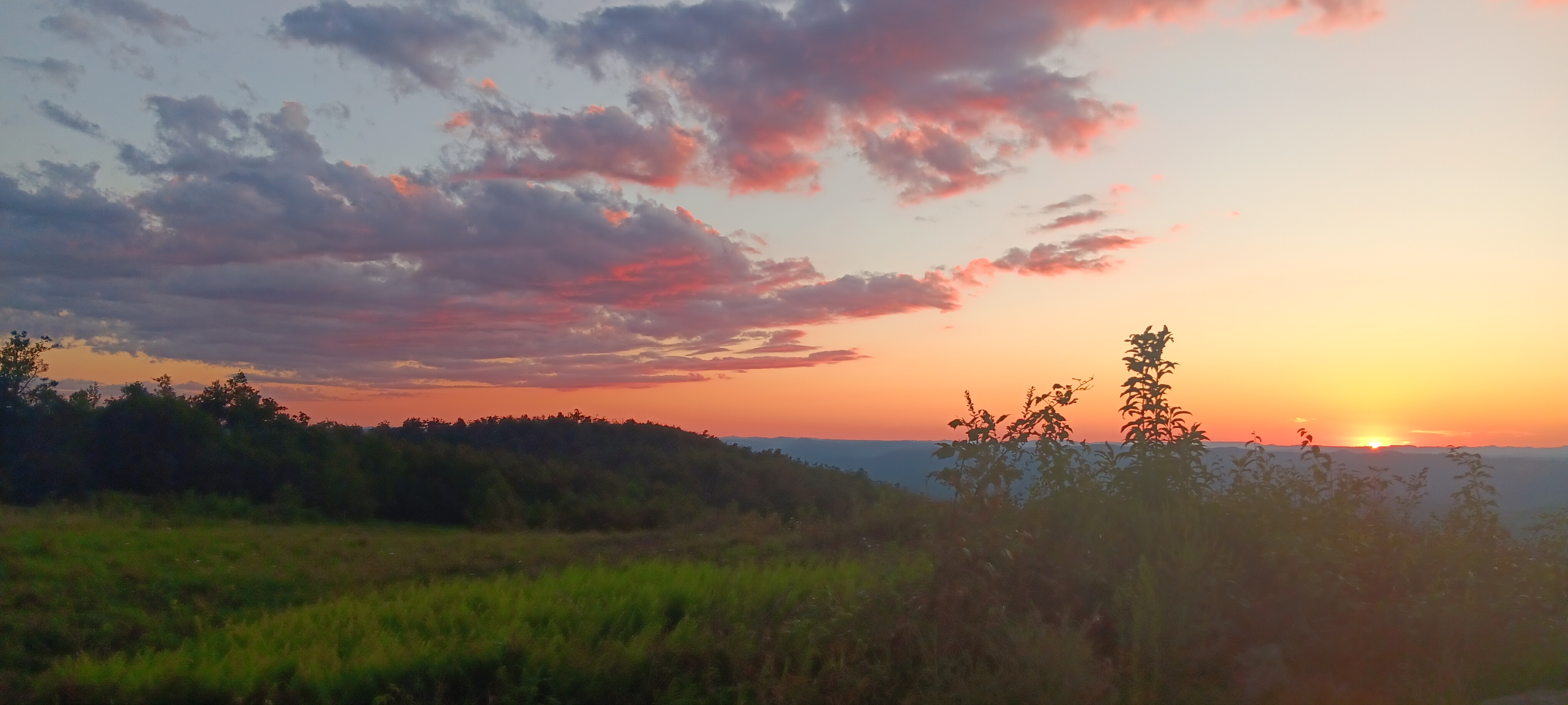
Then back up a bit, where I came to an overlook, not knowing where it was. It turns out it was the Wind Rock overlook.
I stopped here to check for a phone signal since I knew I wouldn’t have one the rest of the day and sent out a few messages. I captured a video. I thought it was neat the way a few beams of light lit up peaks on the otherwise cloudy day.
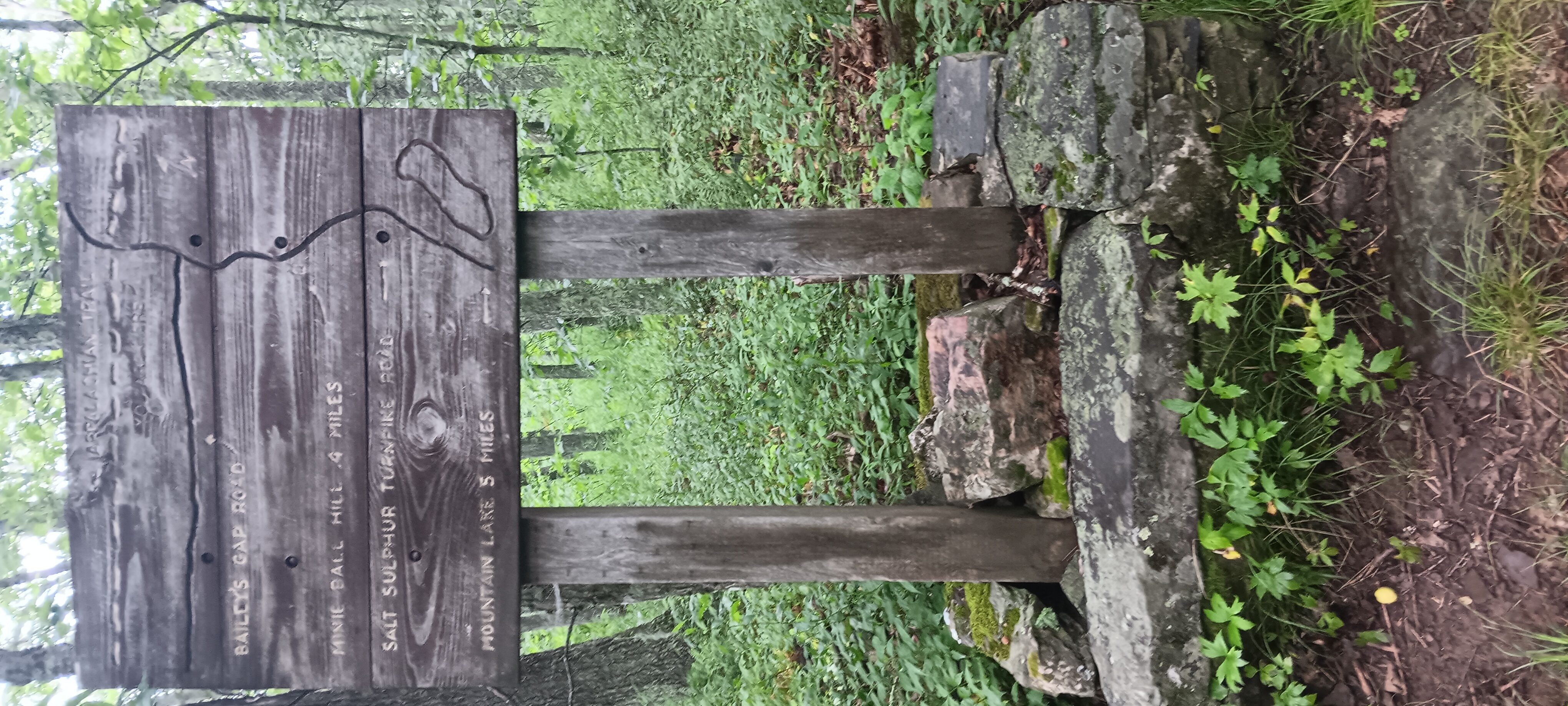
Then back down towards Bailey gap, a shelter closed due to bear activity. I stopped here to poop since the closure didn’t mention the privy.
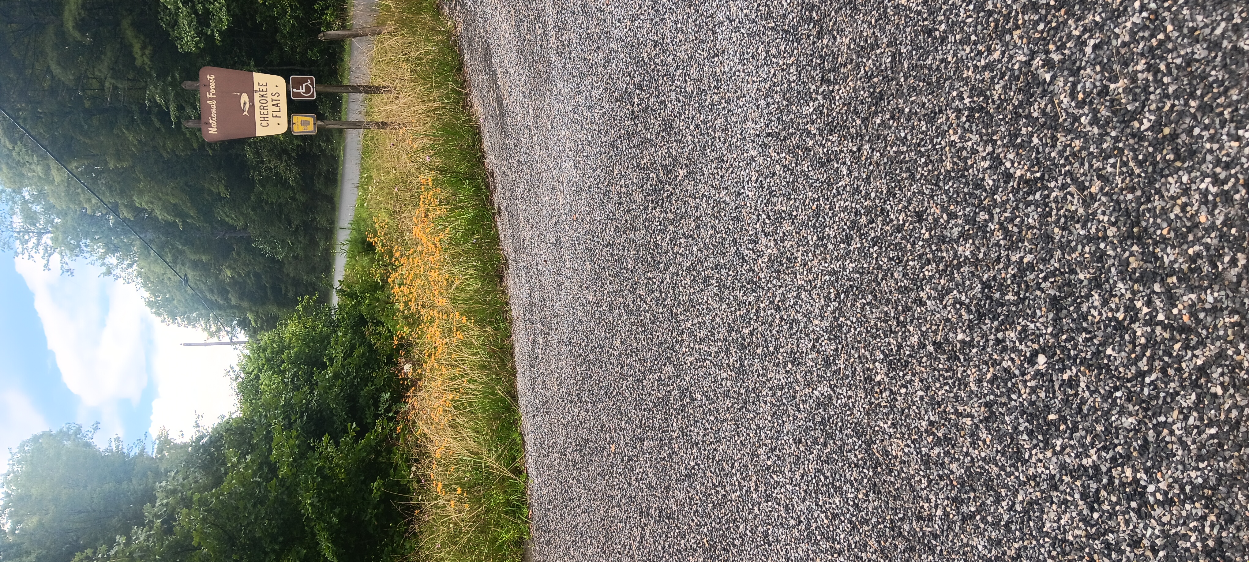
The terrain of Cherokee flats was dismal and slippery, a muddy mess, getting more treacherous as I approached pine swamp shelter; the road crossing at Big Stony Creek was beautiful with many wildflowers blooming.
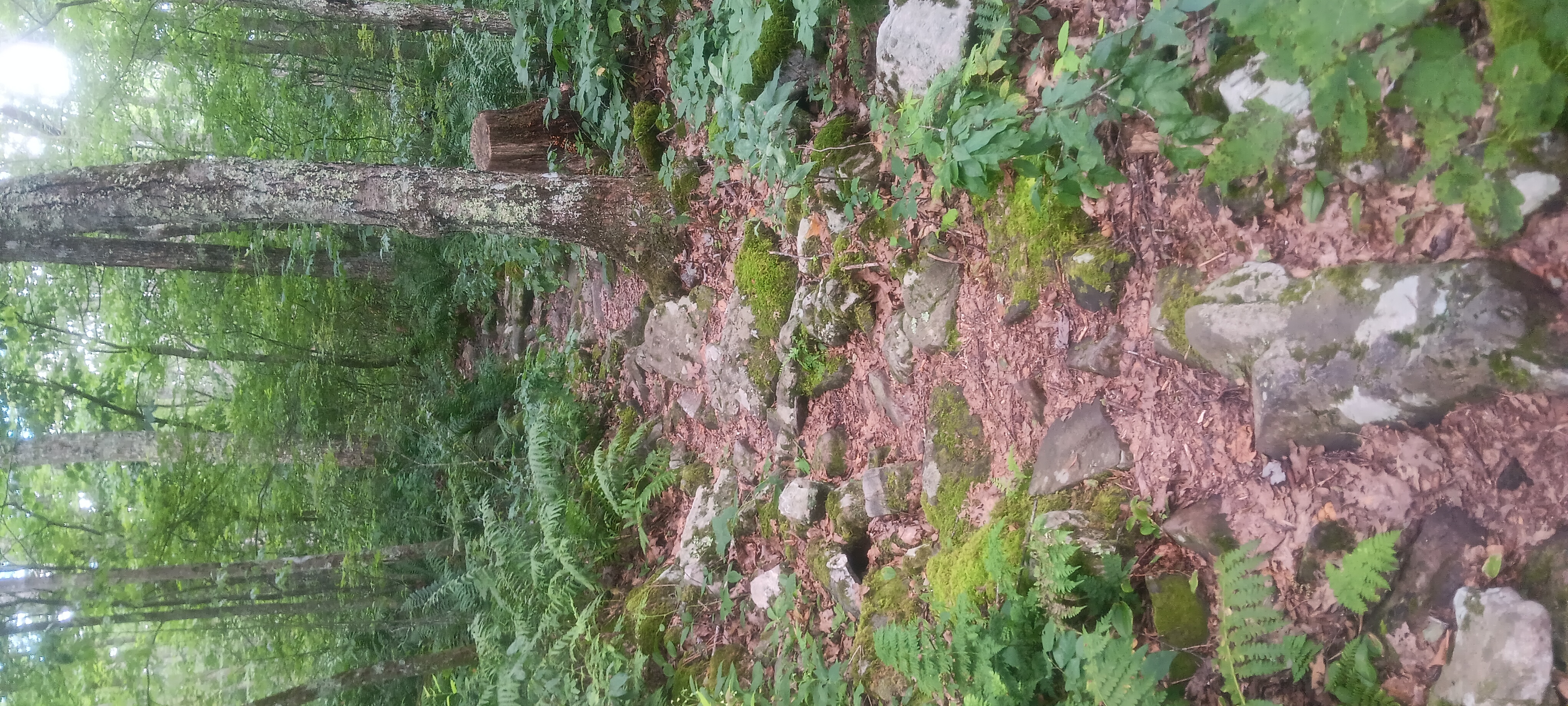
Closer to pine swamp the mostly flat trail beame a series of steep ups and downs, not too high but very dangerous in the wet conditions.
Reaching Pine Swamp early at 3pm, I debated going on but decided against it. Even with fresh rain I know Peter’s Mountain is dry this time of year and didn’t want to risk dehydration in the heat. Better to wait til tomorrow and tackle it fresh.
With extra time on my hands and no one at the shelter I inspected my body which is becoming covered in heat rash and chaffing with the alternating hourly patterns of rain and excessive heat – not to mention the skin that is falling off my toes.
I napped for an hour after eating, ate again, then made my bear hang. I’m still debating starting a fire inside the shelter; this is one of few with a fireplace. I could dry my feet and my shoes, but it’s so hot I fear it would be counterproductive.
Later just before dark another traveller by the name of Wingman came through. We mostly talked about food hacks to make eating more rewarding.
Late last night/early this morning around 1am I had a visit from a nosey bear. It never got more than 50 feet from the shelter but it did get in my head a bit and keep me from sleeping. I wish I had a camera crew to film the ruckus I made. I bet it was quite a show. I banged my sticks on the picnic table, gathered rocks, and made a big fire. I had some difficulty falling asleep and got a very late start.
Sarver Hollow is a great shelter, spacious with a covered deck so you can sit at the table out of the rain; but it is very far off trail and very steep. The water is very good, cold and delicious, but also far away. Even the privy is far away. The terrain is very rocky and while there’s space for camping I don’t imagine it’s very pleasant.
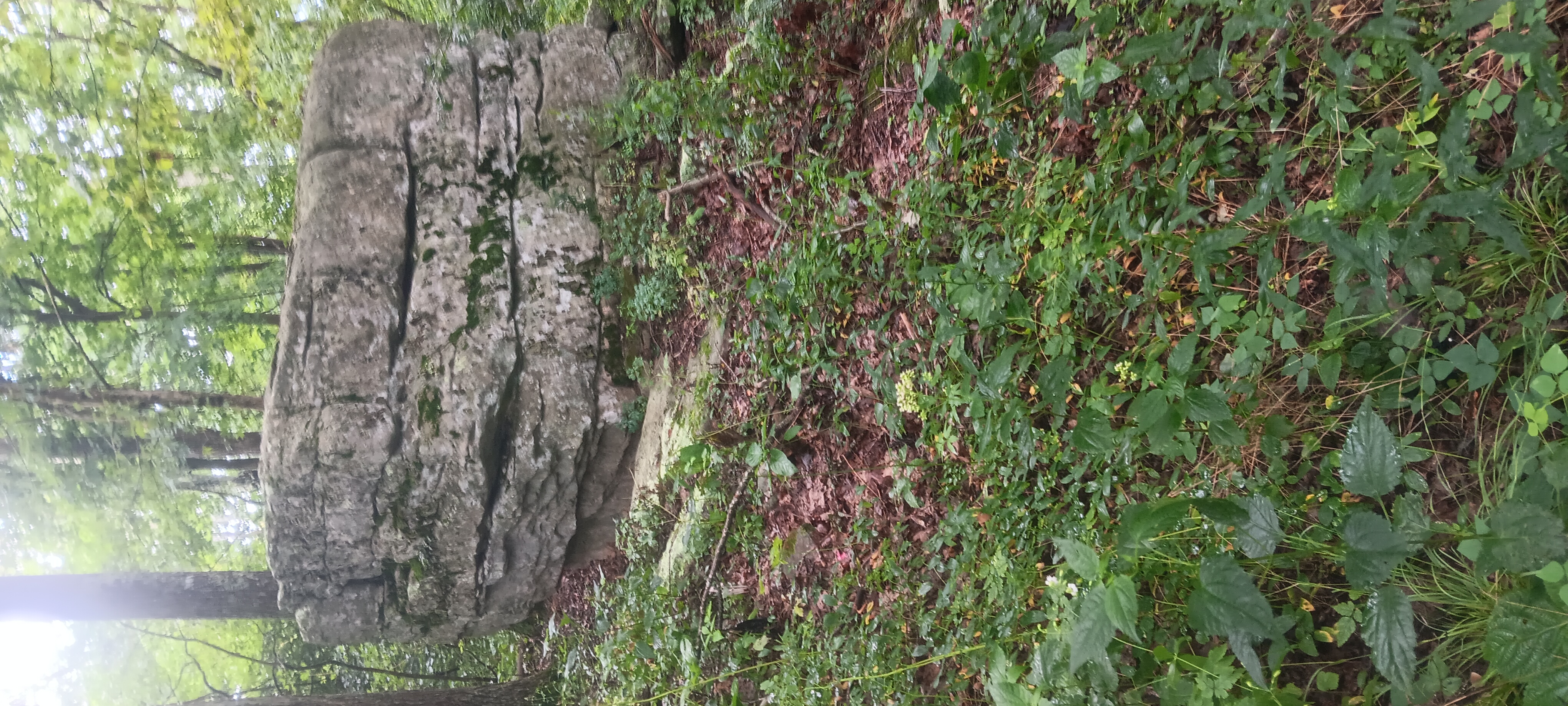
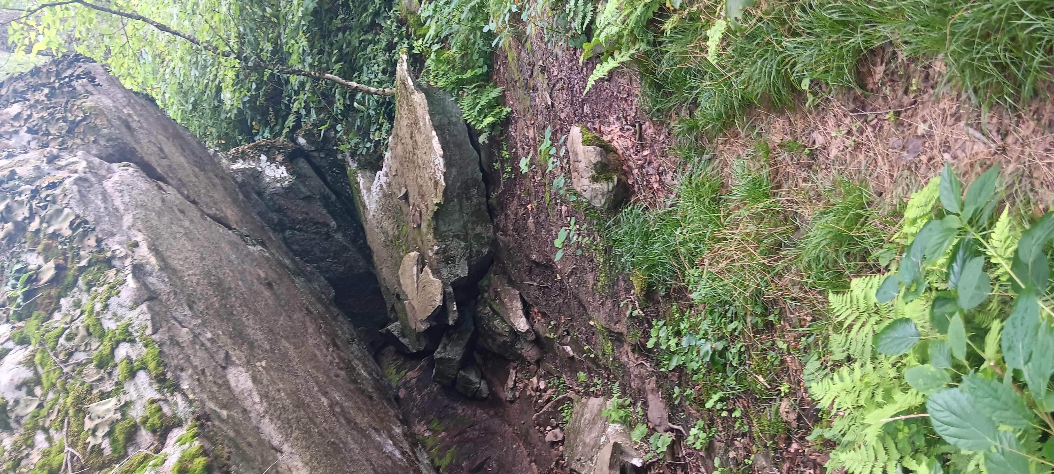
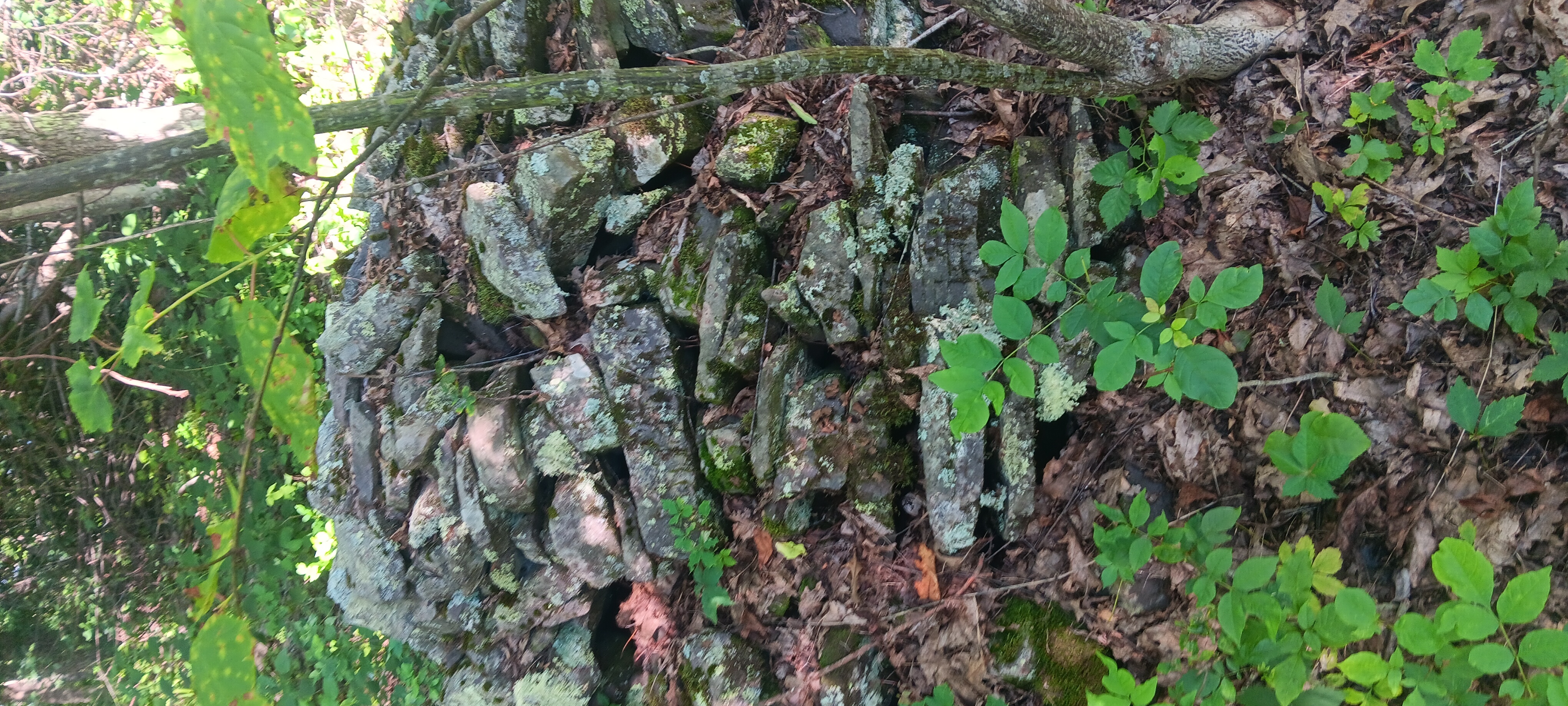
On the ridge I found a few cairns.
I finally left camp about 10 am. The day was somewhat uneventful. I came down from sinking creek mountain, pausing to lay on a shaded boulder to cool off before strolling through some pasture.
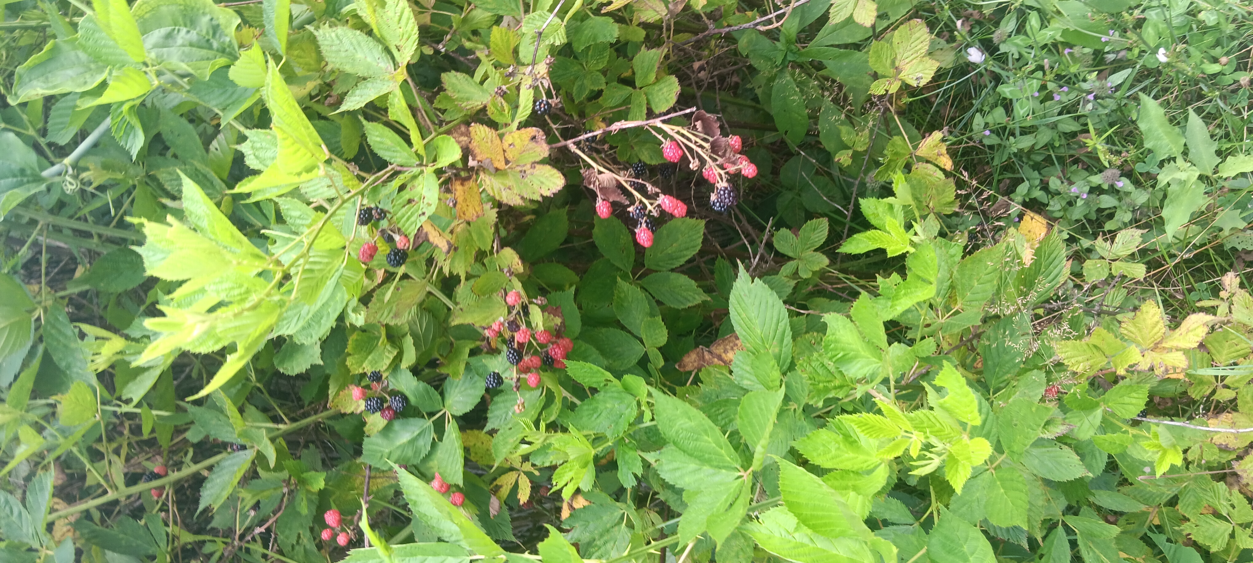
I found some berries and I only picked up one tick coming through the pasture.
Leaving camp at 10 it was already super hot. I found a friendly amphibian coming down sinking creek mountain.
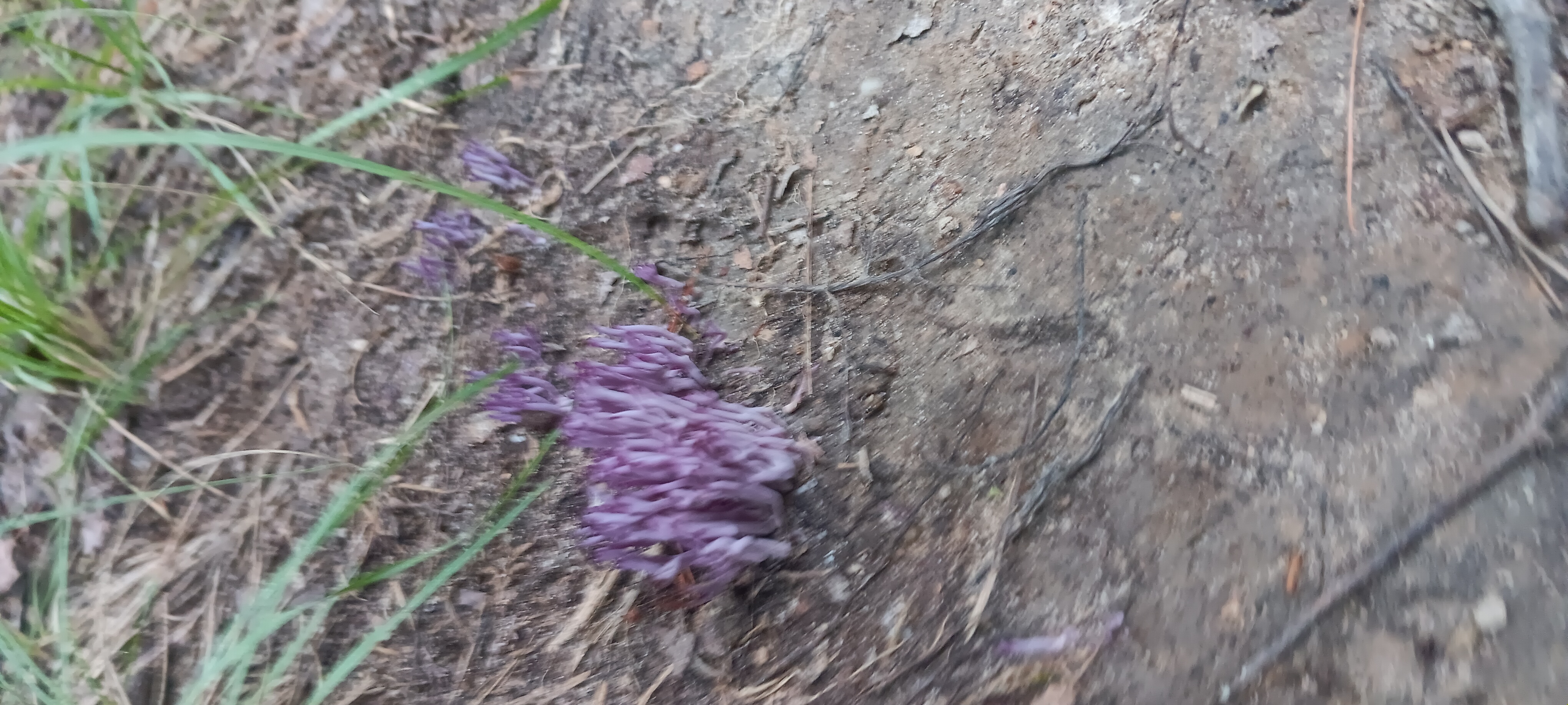
Right as I was almost out of the pasture I got hit with a rain. I snacked under my poncho and went up into the woods before coming down to laurel creek shelter. On the way I found a pretty purple fungus.
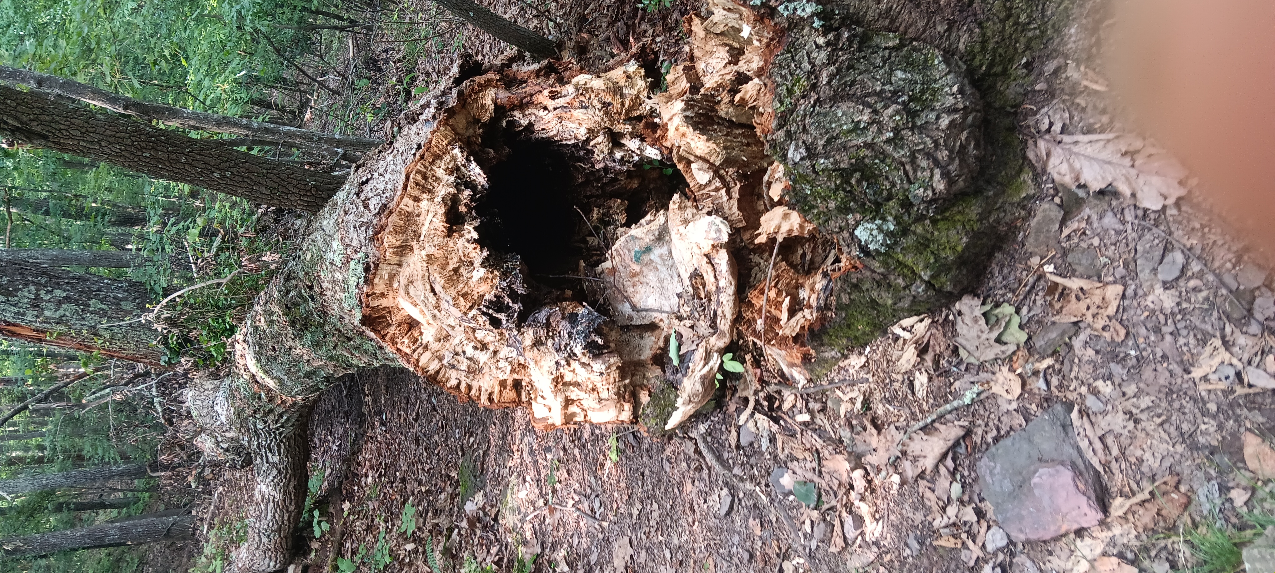
And the previously majestic Keefer oak.
The water at laurel creek I would describe as cool and refreshing, not quite as cold as Sarver Hollow. I stayed here for an hour waiting out another rain.
I don’t need to be a scholar to know the trees are in trouble.
I packed up and went up again, finding my only phone signal for the day. Right when I reached the top I got another rain, more wet than the first two. I trudged along a ridge and then down to War Spur shelter. My boots were completely waterlogged.
At the shelter I found 3 friends: High Maintenance, Pivot, and Mama Duck. We enjoyed some conversations and I assisted with the finer nuances of bear hanging around a fire.
I didn’t document much fighting the rain all day. When it’s raining on the go I just try to get through it. I waited for the fire to burn down to embers before closing my eyes for sleep, hoping for an early start to beat the heat.